
Page contents
About
Gallery
Parking
Poo bins?
Self-guided walk
About
William King-Noel, Lord and the first Earl of Lovelace was owner of the East Horsley Estate from 1829 until his death in 1893. He lived at Horsley Towers with his wife Ada, a pioneering mathematician (described as among the first computer programmers) and the only legitimate daughter of the poet Lord Byron.
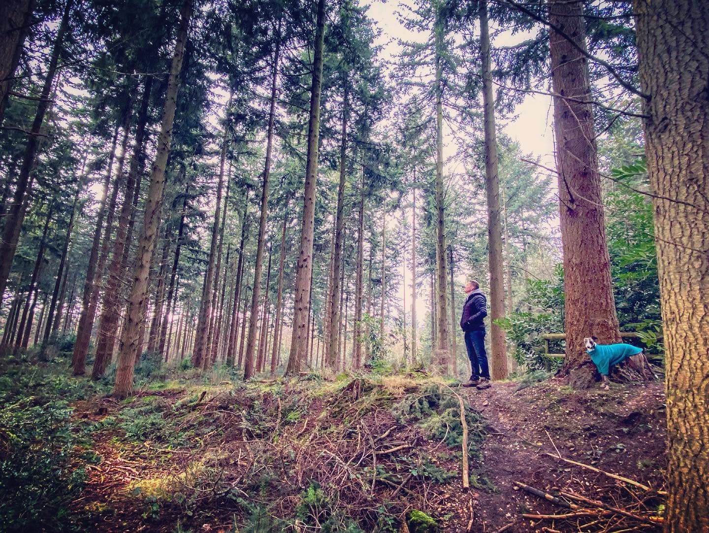
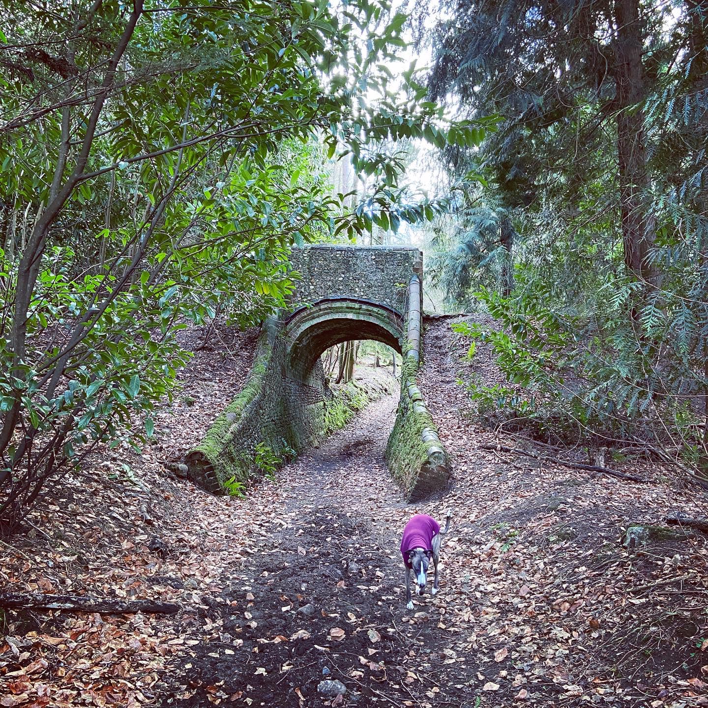
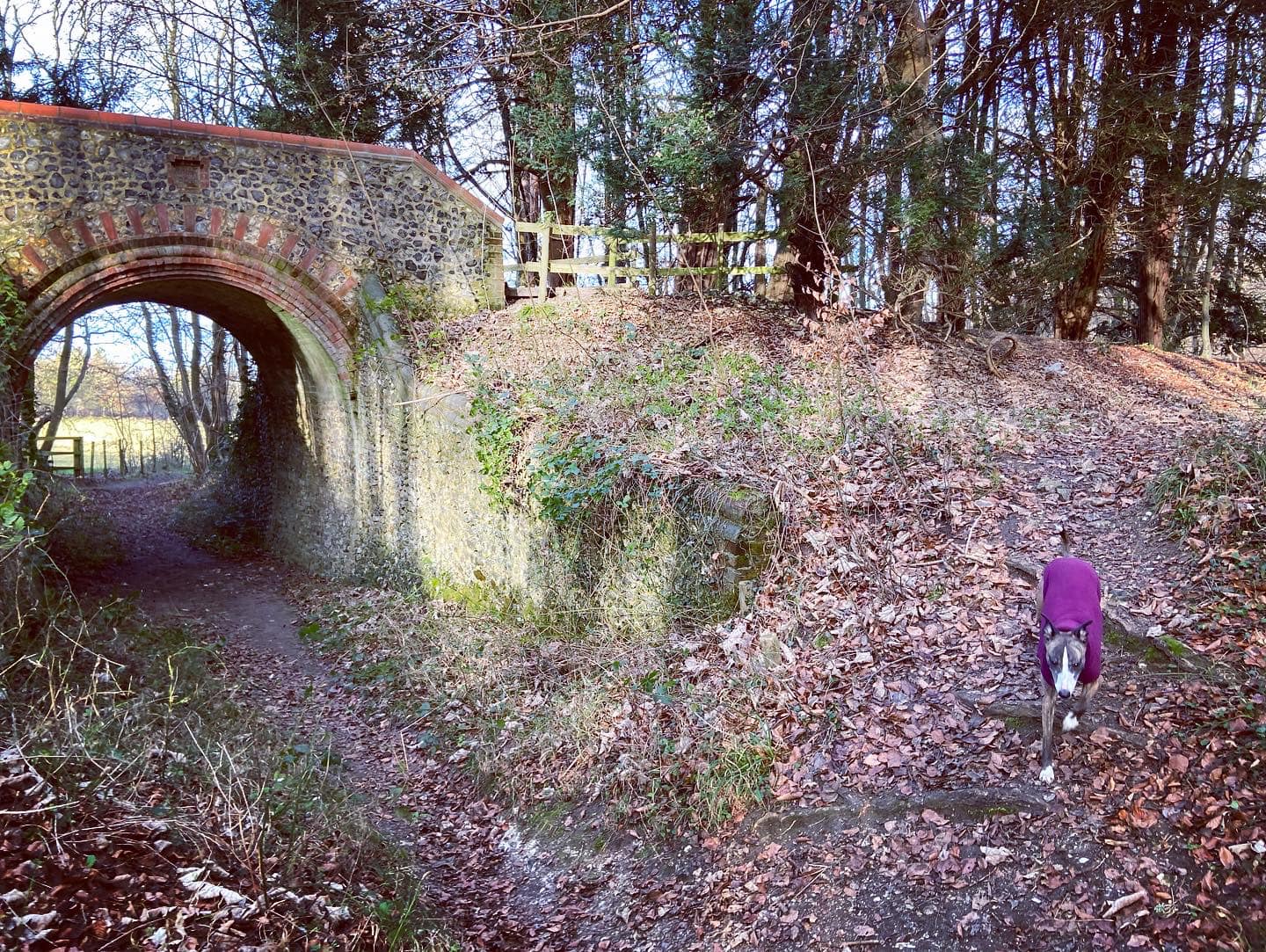
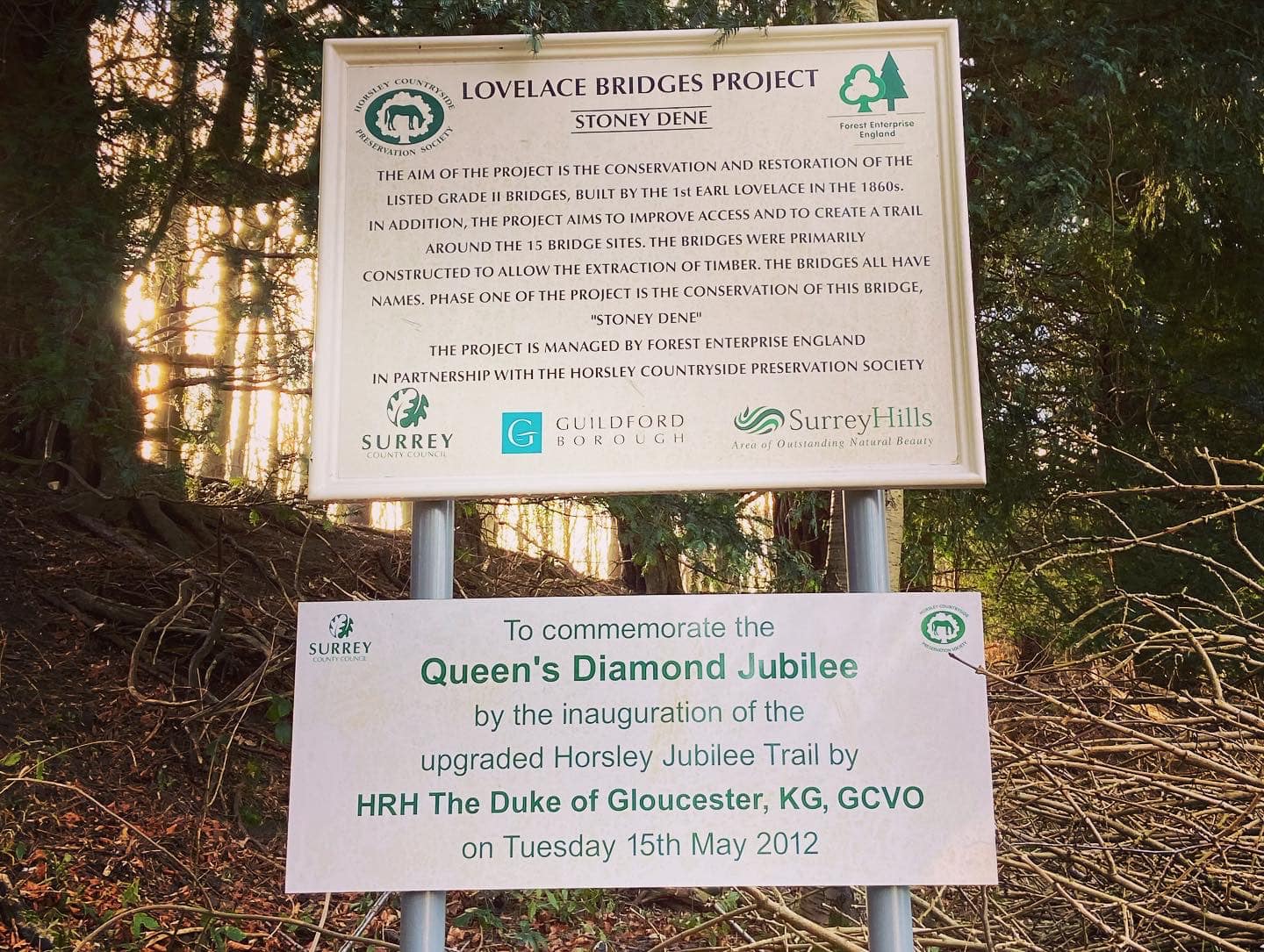
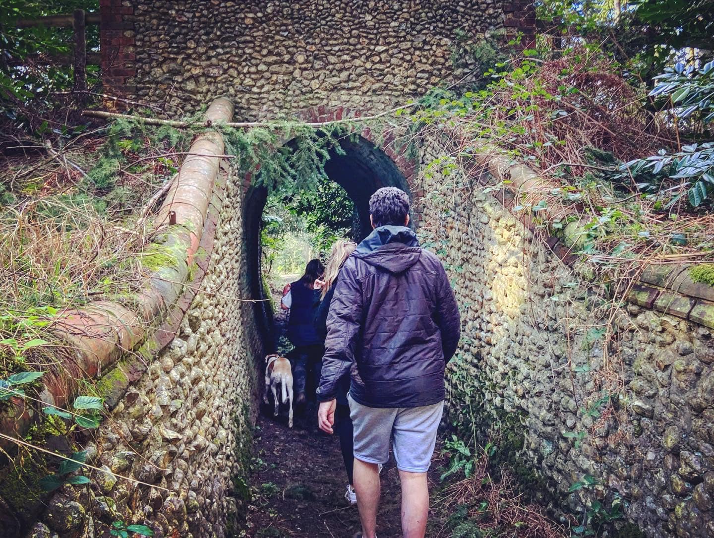
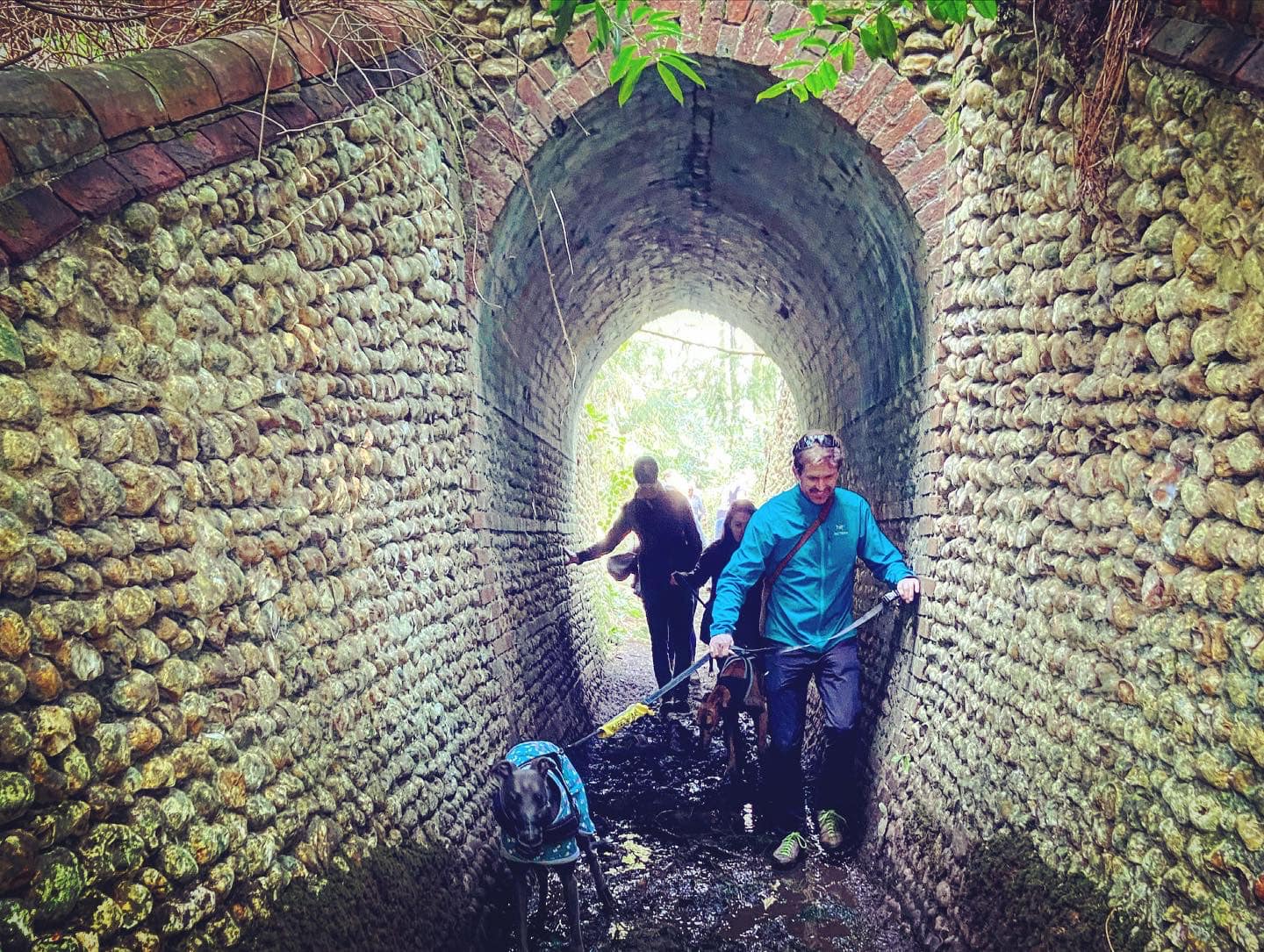
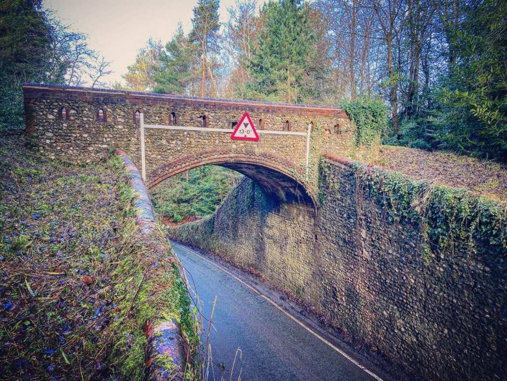
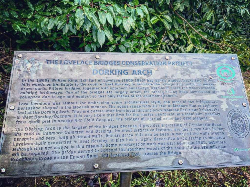
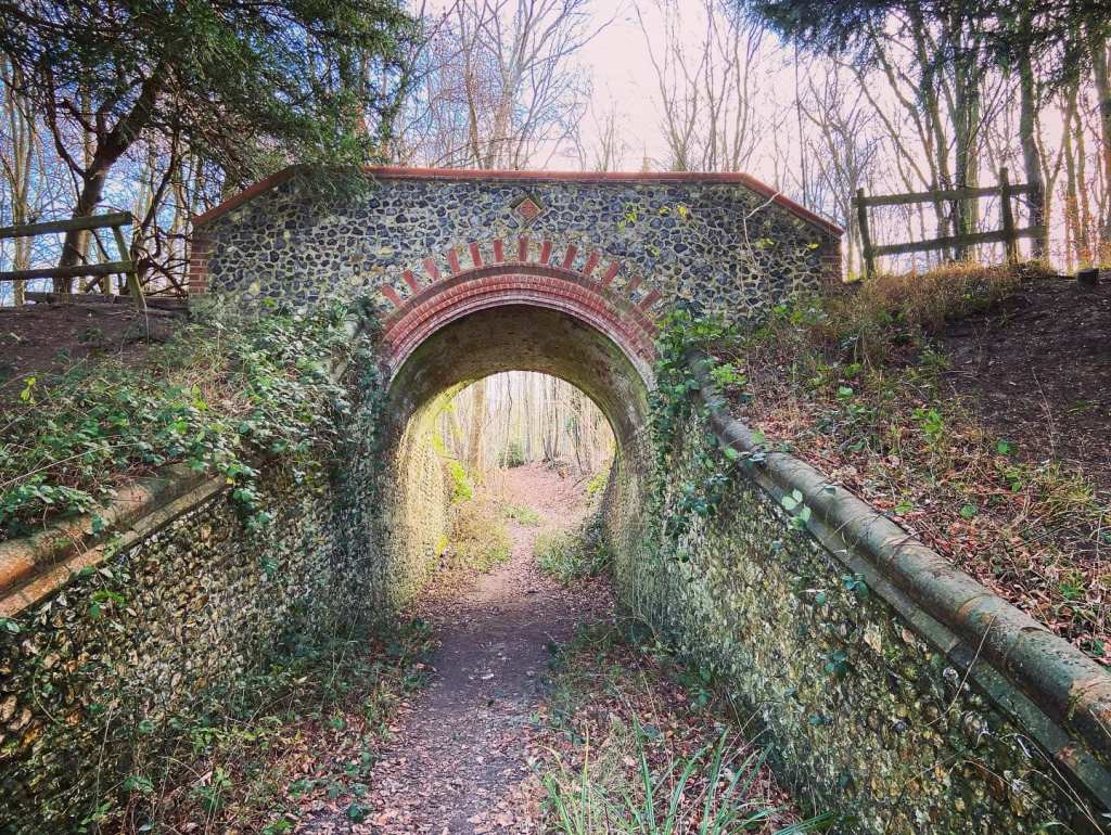
An enthusiastic forester, Lovelace had fifteen ornate brick and flint bridges constructed in the hilly woods to the south of his country house to make it easier to transport timber around his estate by horse drawn cart. Most of the bridges are horseshoe shaped “Moorish” design, and their spans range from about six feet wide at Meadow Plat to eighteen feet for the Dorking Arch, which crosses Crocknorth Road to Ranmore Common.
Only ten of the bridges remain today: Stony Dene, Dorking Arch, Briary Hill East, Briary Hill West and Raven, all on public land; and Outdowns, Meadow Platt, Hermitage, Troy and Robin Hood, which are in private ownership.
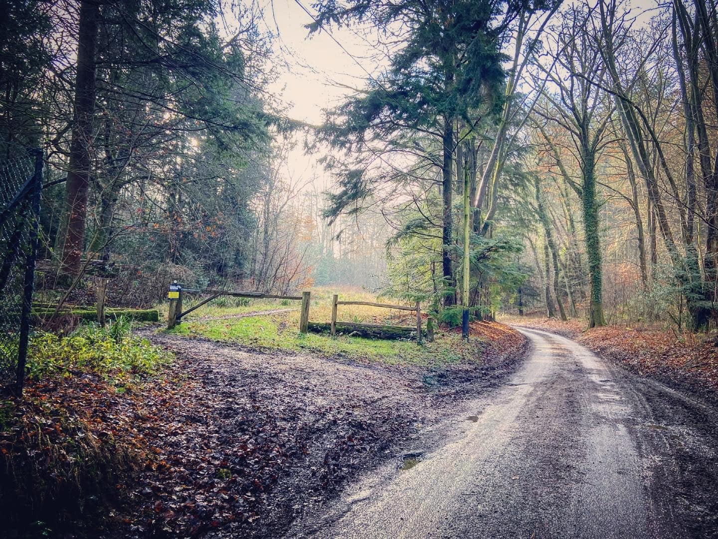
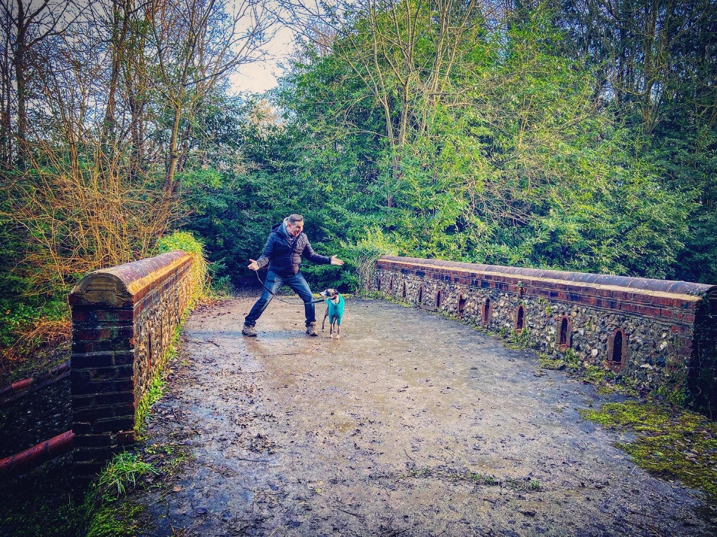
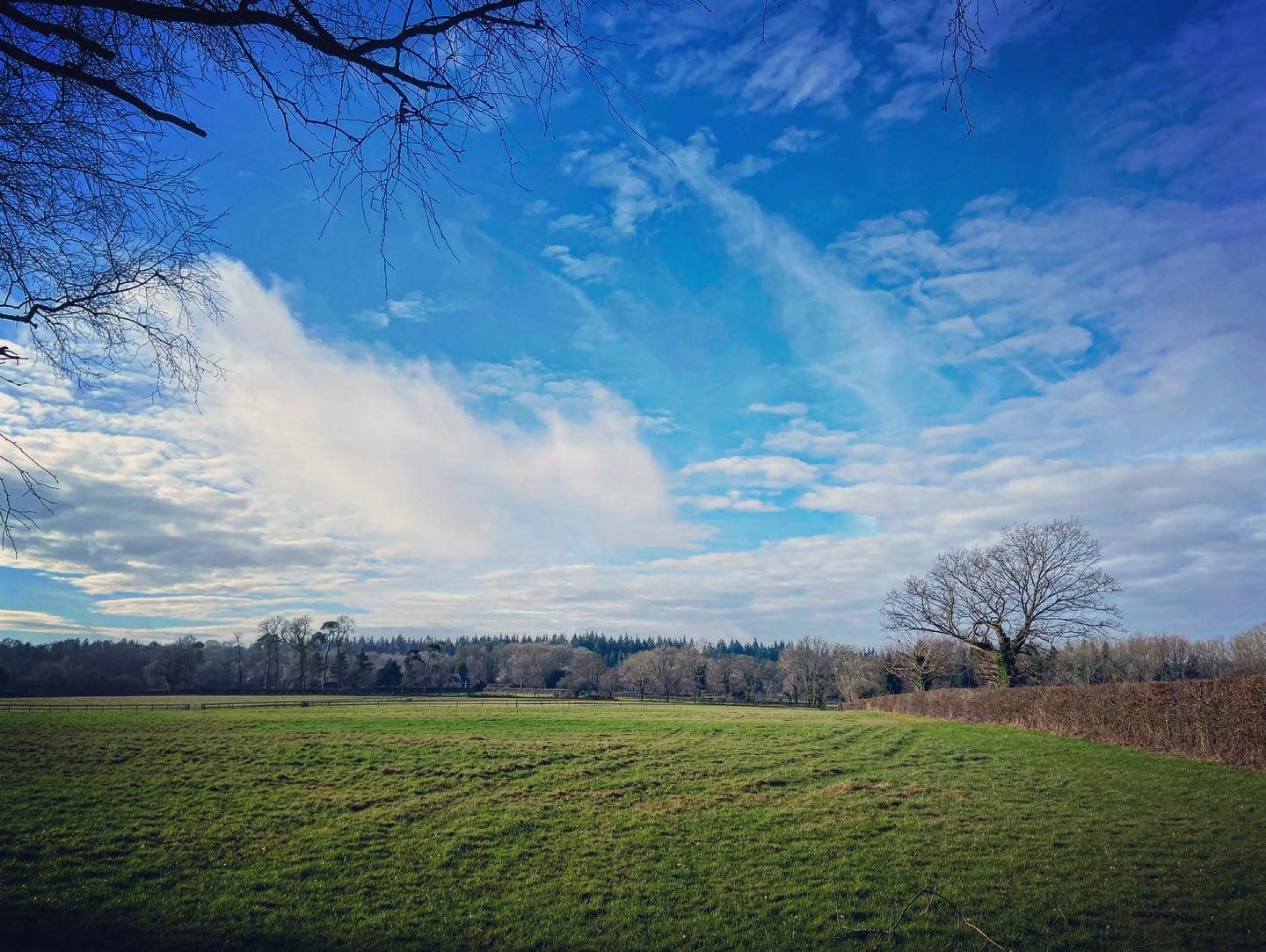
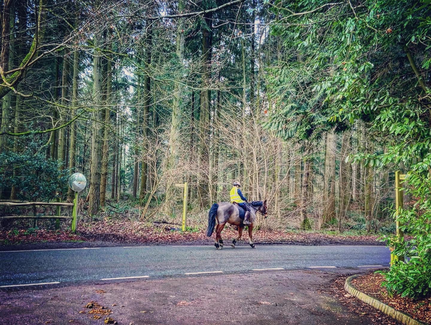
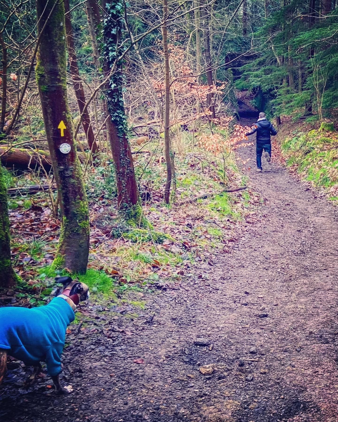
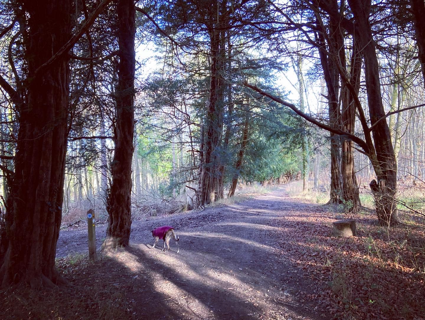
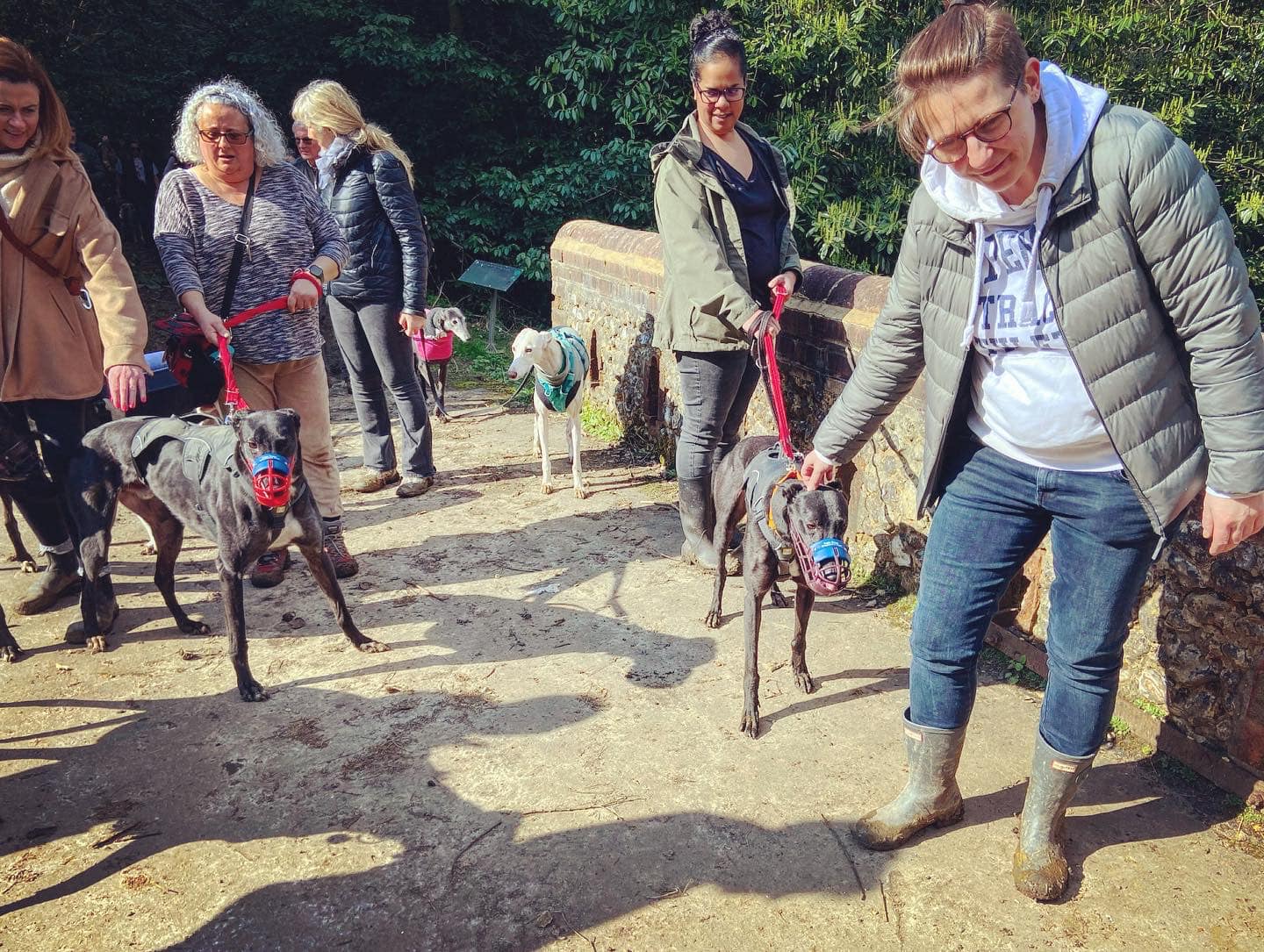
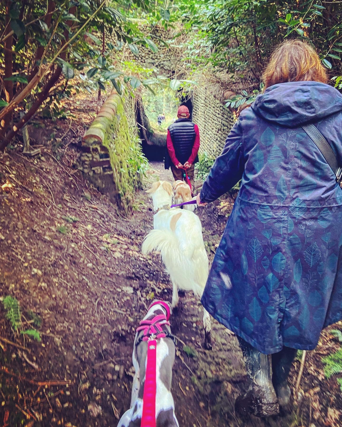
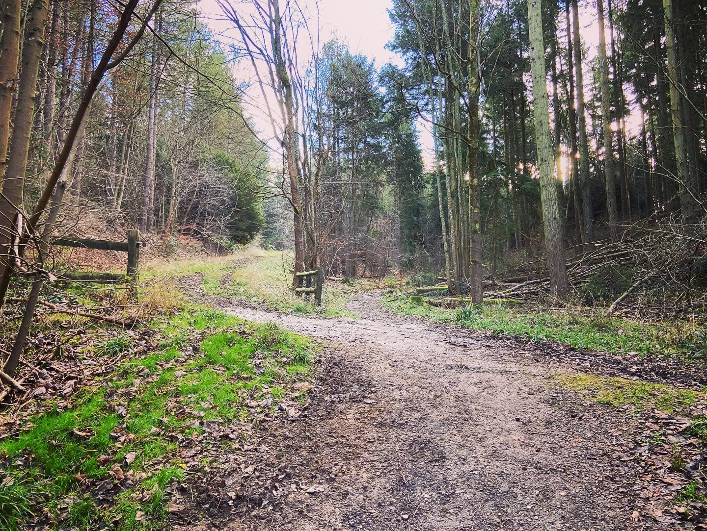
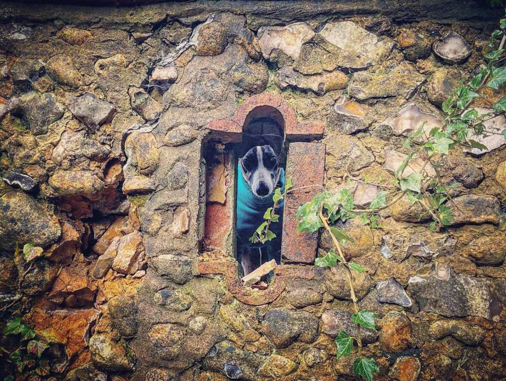
Gallery: What’s it like here?


Parking
The best car park is the Green Dene car park at the bottom of the Sheepleas.
GOOGLEMAPS LINK: https://goo.gl/maps/N47qSVnYX3RdrcAZ6
WHAT3WORDS: https://w3w.co/palace.brains.broken
NEAREST POSTCODE: KT24 5TA
You can also park on the triangle junction of Green Dene and Honeysuckle Bottom but there is space here for only three or four cars.
WHAT3WORDS: https://w3w.co/cubs.aware.phones
There is another walk on this site that starts at the Green Dene car park – the Sheepleas walk, which explores the other side of the road.
Poo bins?
None, please take poop home with you.
Self-guided walk
The Exploring Surrey’s Past website has a 4.5 mile long trail that you can follow but there are no directions to narrate the route. It’s also a little on the long side for some greyhounds.
Here is a 3 mile long Footpath app route that I take instead, which takes in five of the surviving bridges (Raven Arch, Dorking Arch, Stony Dene, Briary Hill East and Briary Hill West) and goes to the site of another that no longer exists (Oak Hanger). There is also a short detour to the site of a second former bridge (Horseclose) if you do want to do it, if only to say you have and to read the plaque. The walk starts and finishes at the Green Dene car park. The route is also on AllTrails.
Length: approximately 3.2 miles/5.1km
Terrain: Challenging compared to most SSWG walks with quite a few slopes. The whole area can be muddy/boggy/waterlogged underfoot in autumn/winter so sturdy wellies/waterproof boots are a must. Three road crossings to navigate and a couple of very short lengths of quiet lanes.
Stiles/kissing gates? No stiles
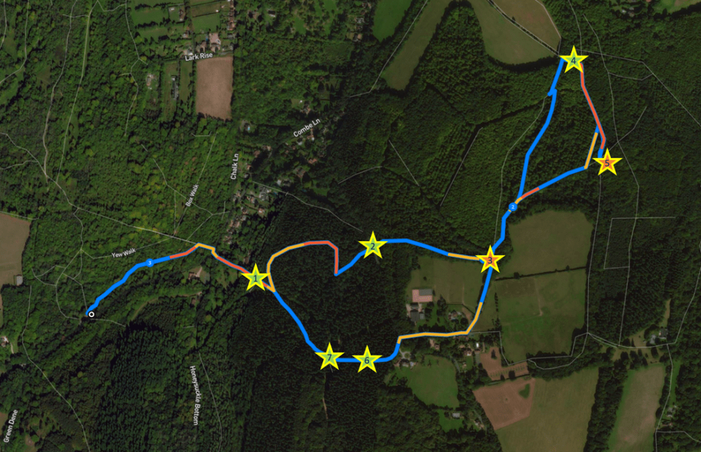
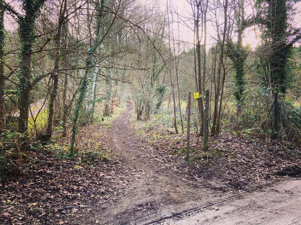
From the rear right hand corner of the Green Dene car park (with the road behind you), take the path that heads to the right. It’s largely straight, running parallel with the road (on the right), then bends to the left and goes uphill to a cross paths. Turn right here. Follow the path straight, again parallel with the road, between the trees, until you get to the T junction. Turn right and walk down to the road – make sure your dog is on the lead!
Cross the road and there is a junction ahead, with a lane (Honeysuckle Bottom – sign on the right) off diagonally ahead and to the right. Just before this, there is a finger post for a public bridleway pointing to a path that heads up a slope (sorry) with a fenced off field on the right (yellow signs advising you that dogs play in it) and a house on the left. Take this path up the hill – sorry. There are some hills on this walk, but they are worth it.
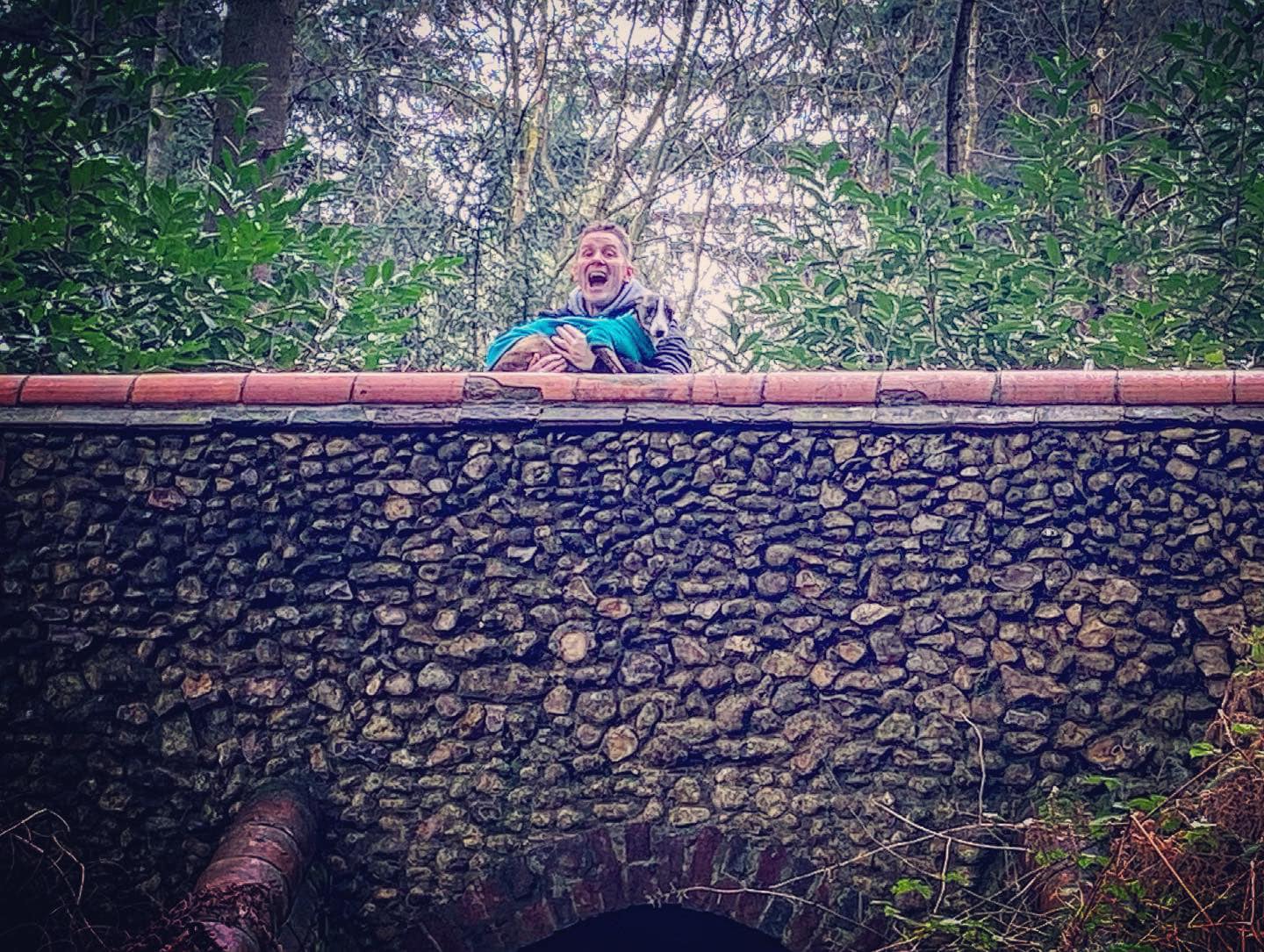
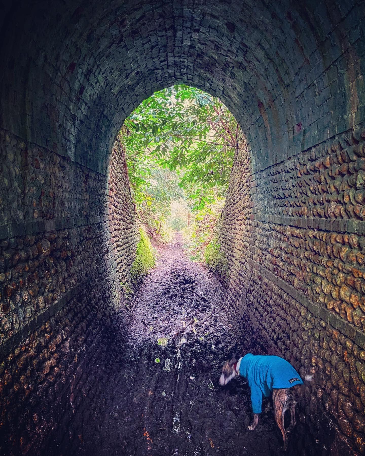
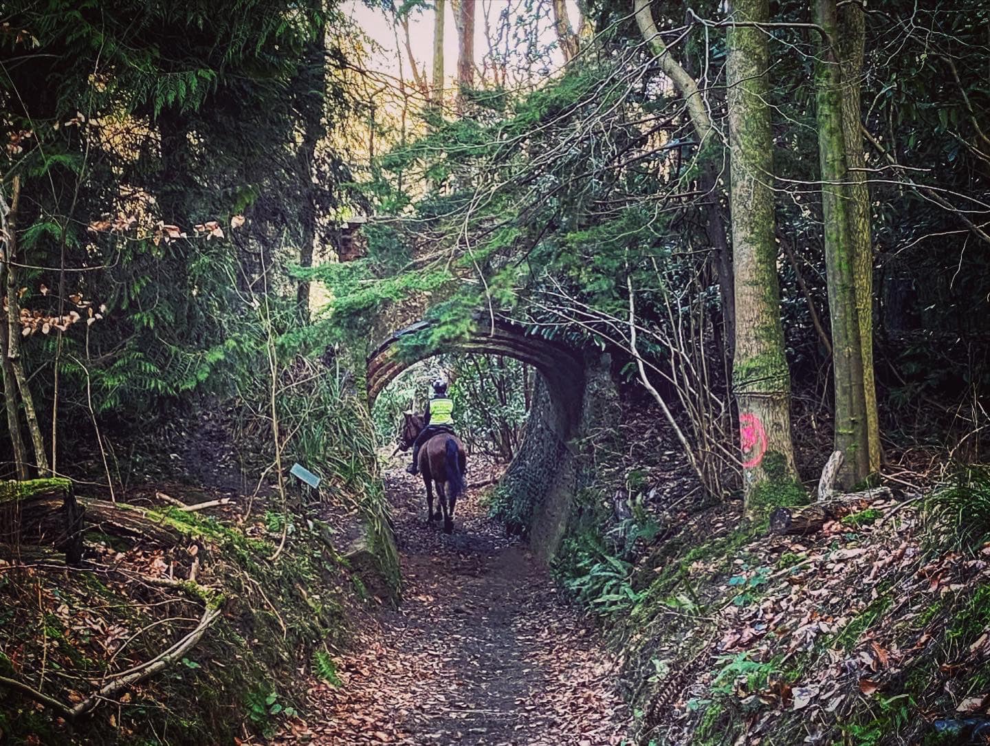
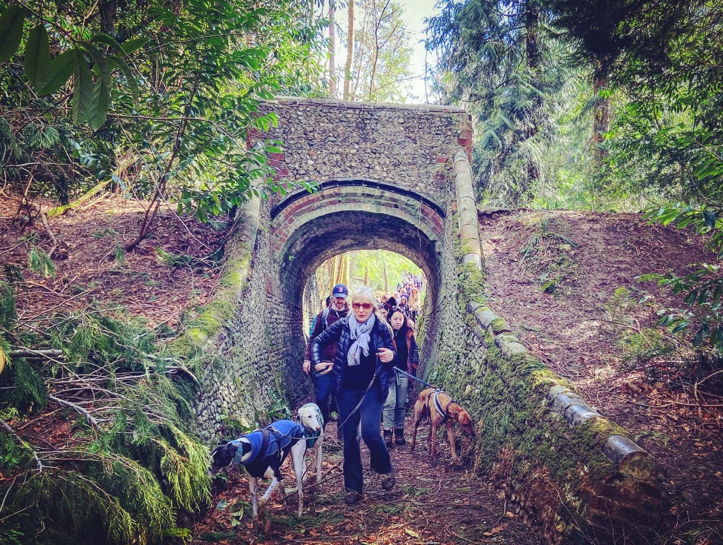
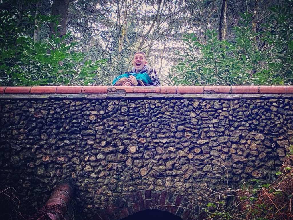
The path will narrow and steepen (sorry again) and the first Lovelace Bridge on this walk, Raven Arch, will come into view. The decorative arch of black lipped tiles is a distinct feature of this bridge that none of the others have. Go through the arch and on the right there is a plaque about it.

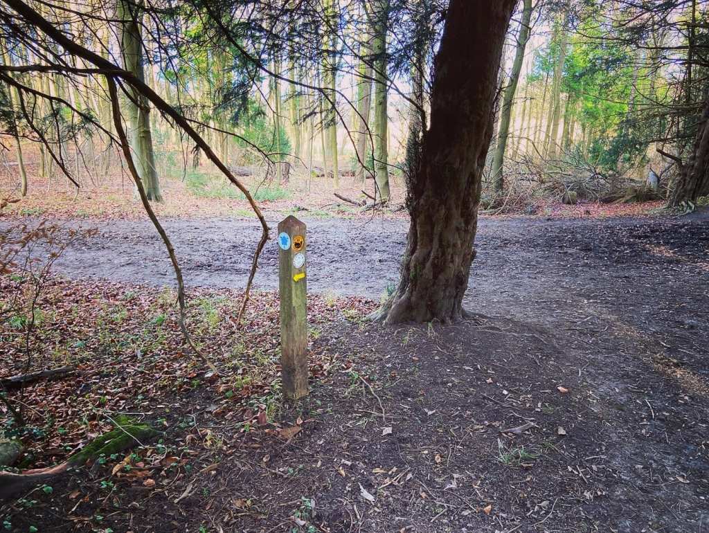
Continue further up the slope to a junction of five paths (including the one you’re on). Take the first one to the left, a higher path (often muddy) that sort goes back on yourself.
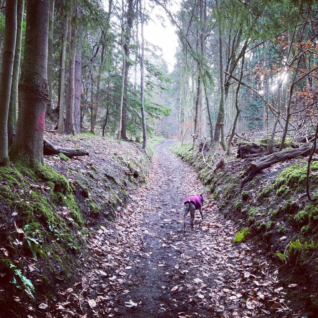
It quickly curves round to the right through conifers as it rises fairly gently at first but gets steeper as you go round the bend (sorry!!!!). There is some good news as the mud underfoot gives way to stonier ground.
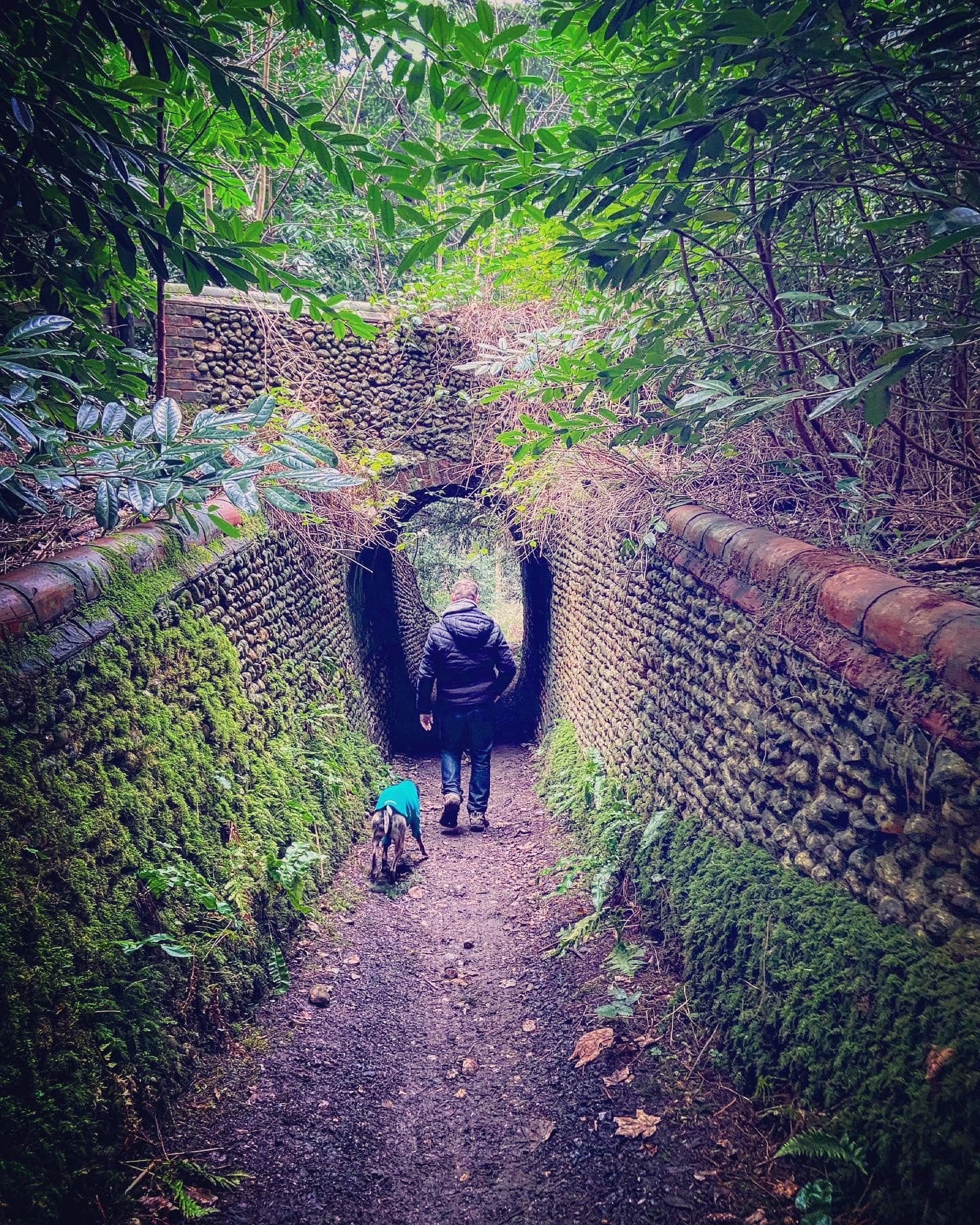
Keep an eye out for a little path coming off on the left with a wooden way marker with a Lovelace Bridges Trail circle. Go left here. You’ll pass a big old craggy tree on the right and then go over the second Lovelace Bridge on this route! This is the Dorking Arch, the biggest of all the bridges and it goes over Crocknorth Lane.

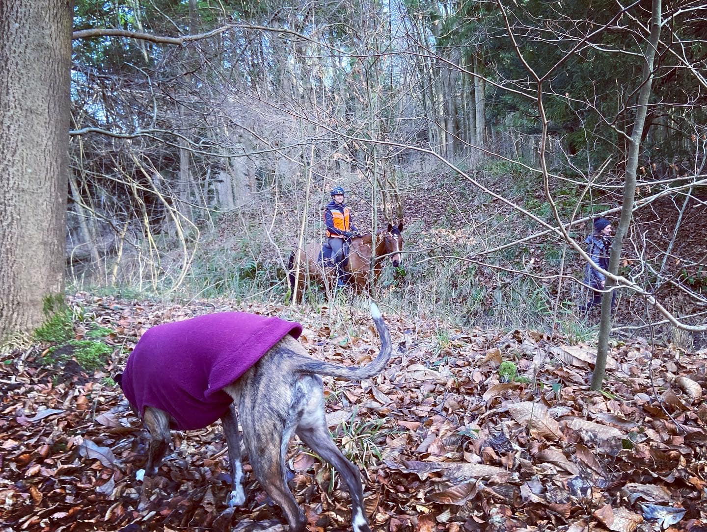
Cross Dorking Arch and continue straight, ignoring a small cross paths (you may not even notice it to be honest) and straight over at the next junction with a main path cutting across your way, then almost immediately going over an old fallen tree. Follow this largely straight path. After a while there will be fields on the right, which may have horses in.
The path will go through some tall trees and then down into a gulley/sunken lane. On the left there’s a sign about Oak Hangers as you’re at the site of this bridge but it unfortunately no longer exists.

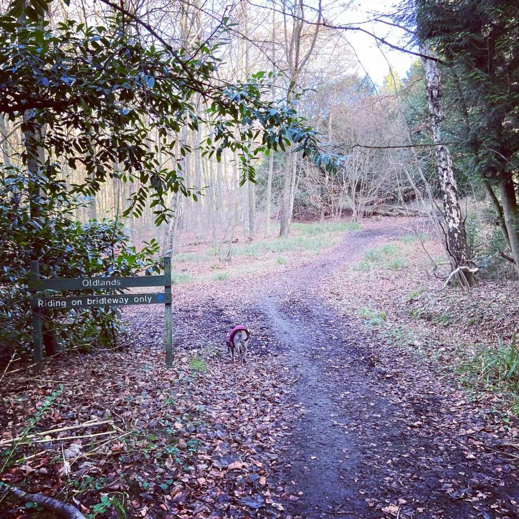
Turn left into the gulley and pass a green Oldlands sign on the left. At the junction, bear right and up the slope, passing a Lovelace Bridges Trail waymaker on the left and going around (or over) a fallen tree. This wide bridleway can be muddy!
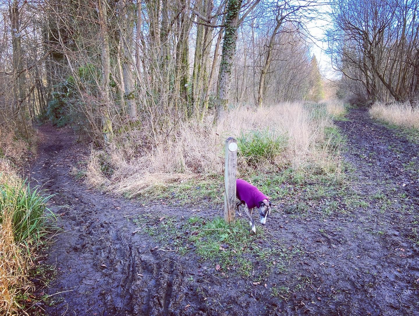
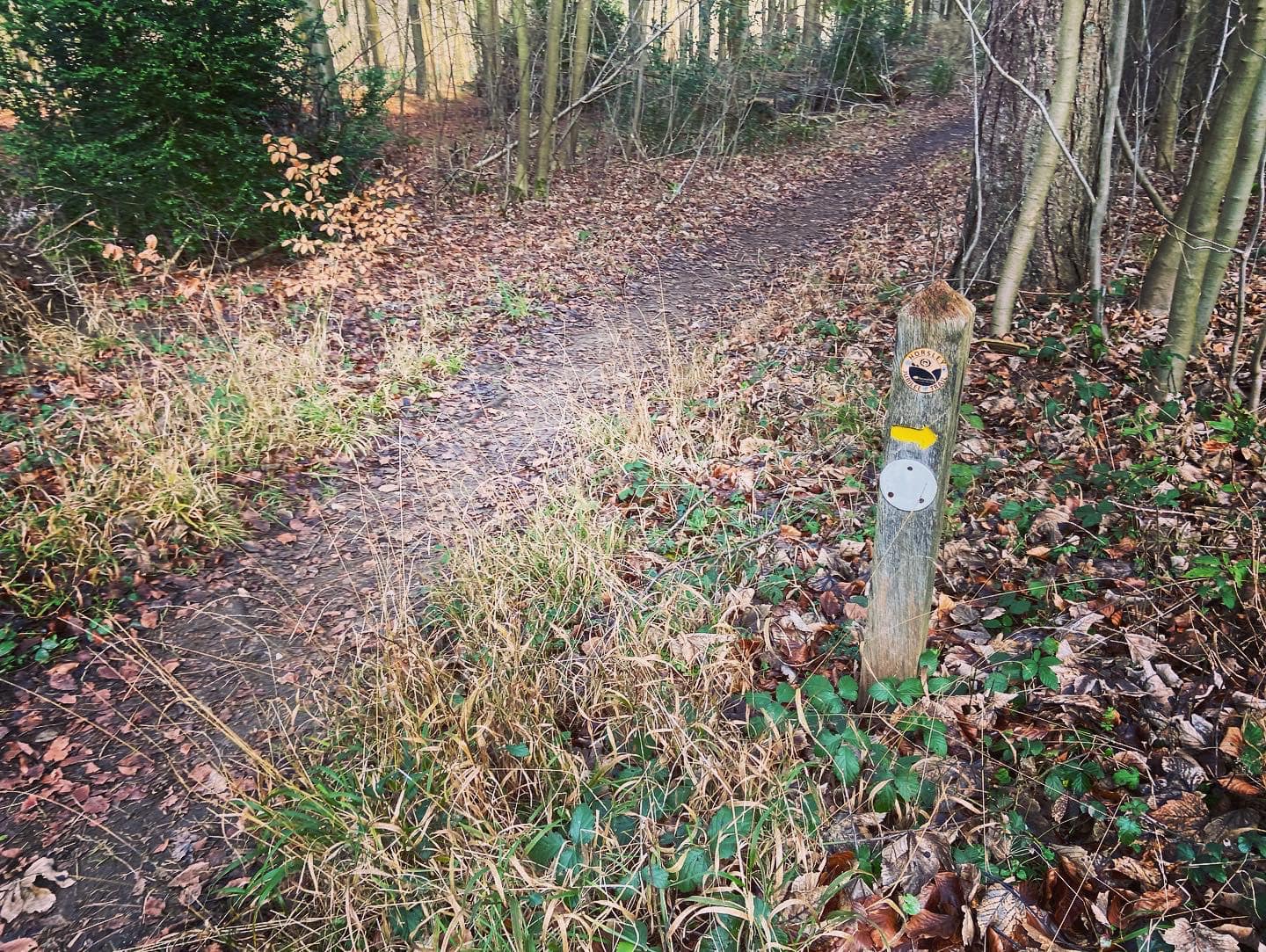
At the next fork, where there is a white Lovelace Bridges Trail sign, go left. You’ll pass chopped up tree trunk segments on this downward slope, which is lined by Yew trees on the banks either side. Turn left at the path that comes off by a way marker post, and almost immediately after that, turn right down a small path that passes another way marker with a white circle and yellow arrow drawn on it pointing the way you came.) Through the trees to your left, you’ll see fields.
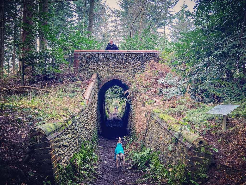
At the junction by a gate, you’ll see Stony Dene bridge to your right and a sign about the restoration of the Lovelace Bridges to celebrate the Queen’s Diamond Jubilee in 2012. Turn right here and pass through the arch.
A little way up the slope, you’ll reach a cross paths by another marker post, where you turn right. This path also goes up slope. Go straight over the next little cross paths and by a tree that has been chopped down (on the right). You’ll then arrive at a larger junction with a main path cutting across and a smaller path continuing ahead. You now have the option of a short detour to see the site of the old Horseclose Bridge, which isn’t there anymore. I’ll say right now to manage your expectations as all that’s there is a plaque saying the bridge used to be there and some knobbly stones. But, it really isn’t far so if you want to be able to say that you saw five bridges and two sites of bridges, do it – the whole detour will only take five minutes.
Detour to site of Horseclose bridge, even though it’s a bit underwhelming – At this junction, go straight over and up the little path ahead that goes upslope between the trees. It winds right, then left with banks either side. Keep your eyes peeled for a sign on the right for Horseclose Bridge. Yep, that’s it. 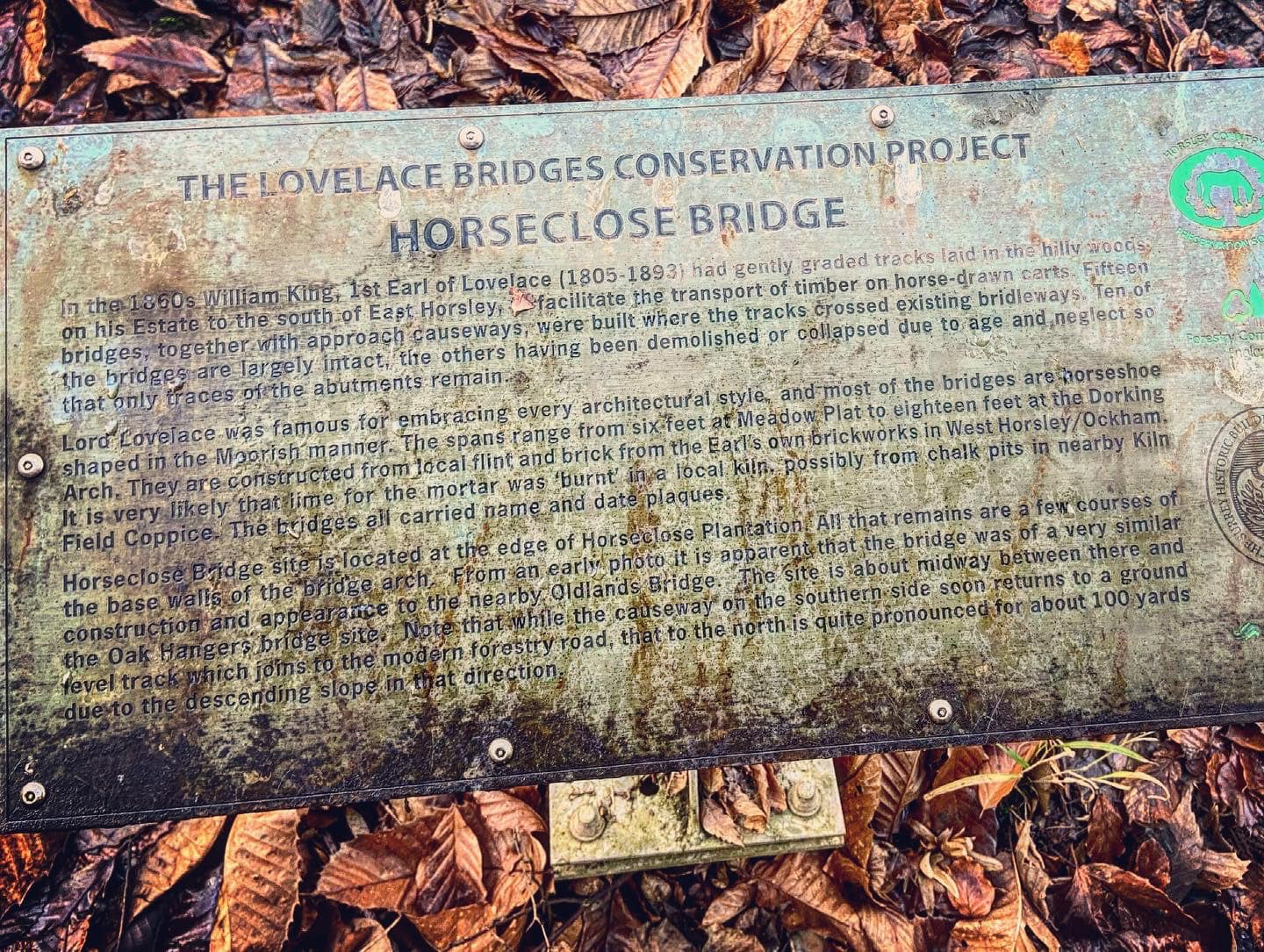
You have two options now to return to the main walk:
Option 1: climb up the bank to the right of the sign – this is a tiny path and hard to see, the bank is really steep too. If you do this, follow the path straight ahead and it’ll come to a large path joining from the right – continue straight on this large path.
Option 2: (and what I advise you do) turn around and return to the cross paths you just came over, then turn left onto the wide track and take it up and follow it round to the right.
Not bothering with site of Horseclose Bridge – At this junction, turn right onto the wide, main path and follow it straight upslope and then around to the right.
Continue straight on the wide path.
A path will join from the right by a white marker post. (You might recognise it as a path you headed down earlier in the walk before Stony Dene!) Ignore it and continue straight and you’re now going to retrace your route back for a short while – go around the fallen tree trunk and bear left at the fork, passing the green Oldlands sign (now on your right) and continue straight up the slope on the banked path, passing the site of (and plaque for) Oak Hangers, which is on the right. Keep going straight and pass some chopped down tree bits and stump. The path will go between fields and come to a house called The Old Barn, which is at the end of a lane.
Turn right, passing Crocknorth Farm and, shortly after, an equestrian centre (both on the right). Put your dog on lead as this lane brings you down to Crocknorth Road, which can be busy. Cross the road with care and take the bridleway ahead that bears left and along the side of a private property and then bends right.

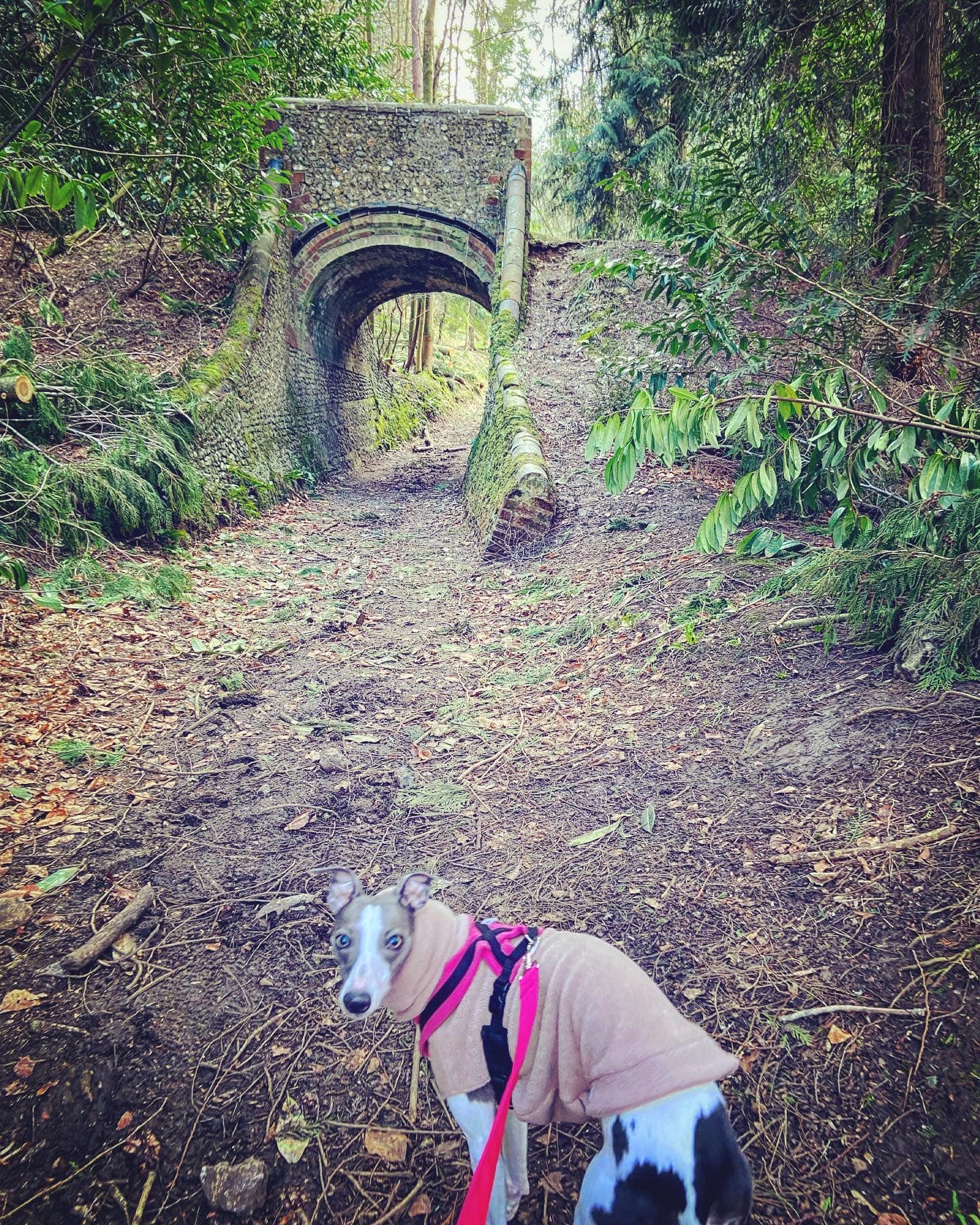
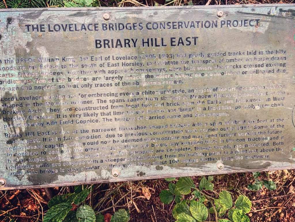
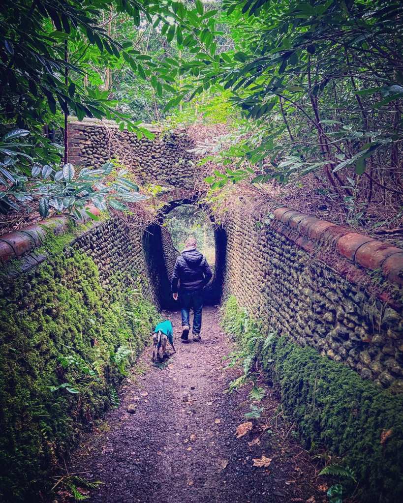
This path brings you to Briary Hill East, one of the narrower bridges with a span of about six feet at the widest part. It is in fair condition due to previous conservation work in 1981.
Walk under Briary Hill East bridge and when you come to the next junction with a track and wooden fences, go straight over on the small path and you’ll see another bridge ahead, Briary Hill West. Sadly the plaque about this one is missing.

Pass under Briary Hill West bridge and keep on. You’ll come to a cross paths from earlier, where you continue straight over and you’ll head down to the Raven Arch bridge, the first you saw on this walk.


Go under the bridge and retrace your steps back to the car park. Keep on down the path to the lane with the Honeysuckle Bottom sign (to your left). Cross the road ahead and dog leg onto the bridleway where the finger post is. Go up the hill and take the first path on the left. Follow this to the cross paths and turn left down the slope and then straight back to the car park.

Thank you! I did a similar walk round the bridges yesterday (Sept 2024), partly inspired by your blog entry. I’d add that a map and compass are very helpful for navigation. And the bridges are lovely!
LikeLiked by 1 person
Hi! I am so sorry I haven’t replied sooner, I have been neglecting this blog but with a new year on the horizon, I feel inspired to fire it up again 🙂 Thanks for the feedback. I was walking over this area last week and will be adding a post with a couple more Lovelace bridges (different ones) at some point.
LikeLike