
Page contents
About
Gallery
Parking
Poo bins?
Self-guided walks
About
St Martha’s Hill is on the Greensand Ridge between the town of Guildford and village of Chilworth. It reaches a height of 574 feet (175 m) at its loftiest point, making it the 18th highest in Surrey (is this impressive? I’m not convinced but there we are…)
The hill was referred to in old documents as Martyrs Hill, the martyr to which it was dedicated being St Thomas of Canterbury, aka Archbishop Thomas Becket. Brutally murdered on 29 December 1170 by four knights of King Henry II, you may recall from your school days that Becket was canonised a Catholic saint on 21 February 1173. (Coincidentally, this page you are reading now was written exactly 849 years later on 21 February 2022. Isn’t that strange? Pretty sure it’s Rena playing silly buggers again).
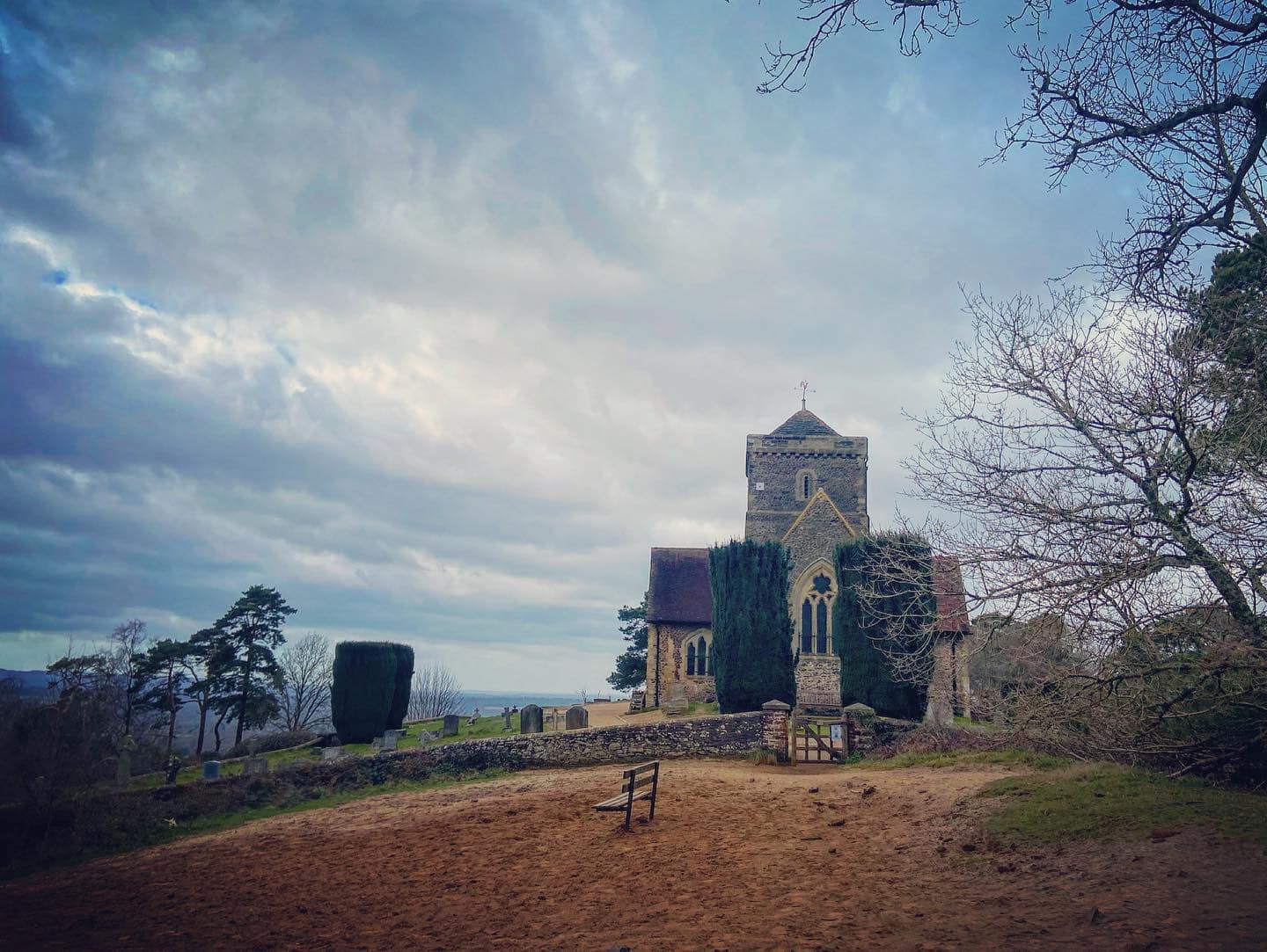
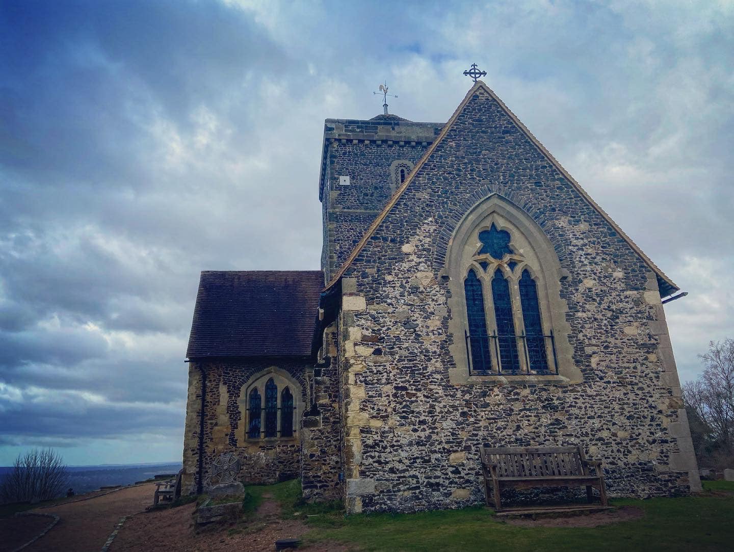
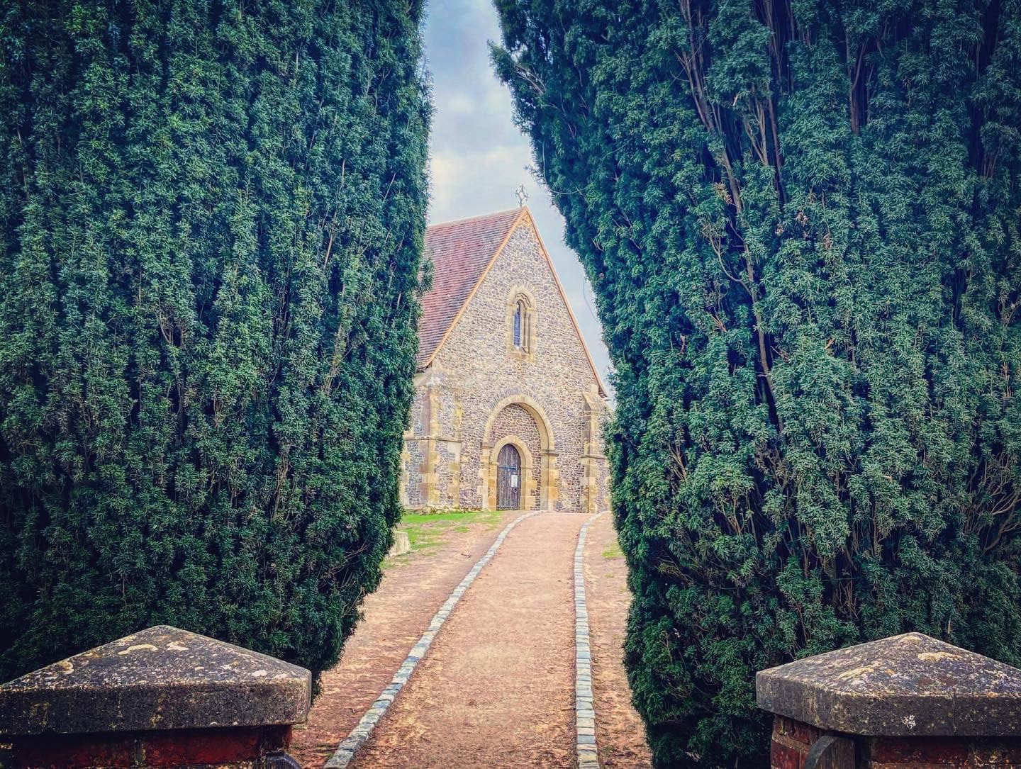
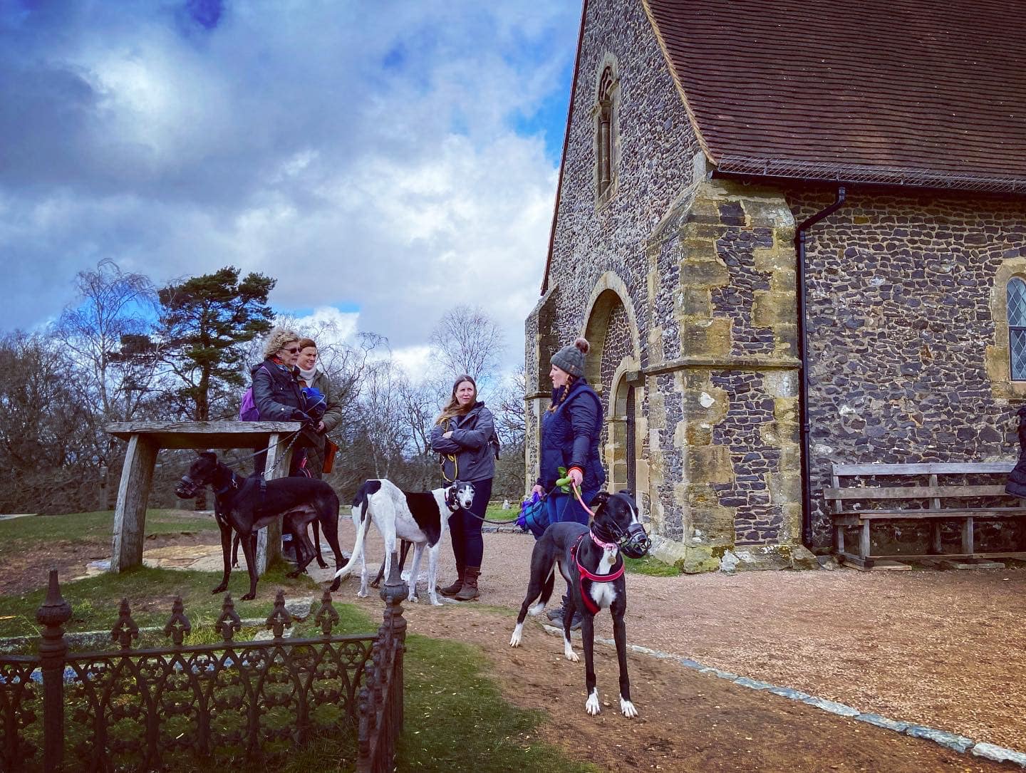
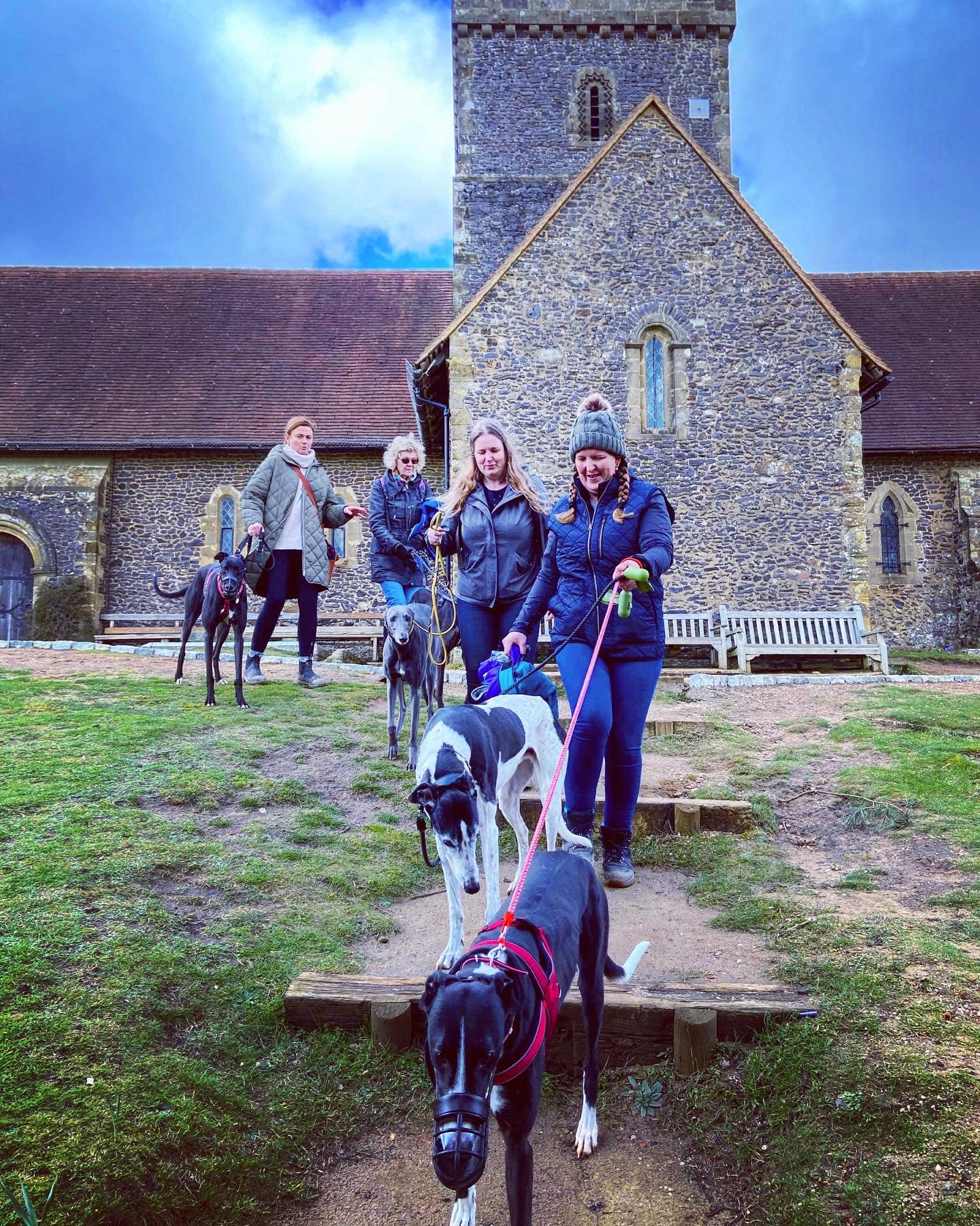
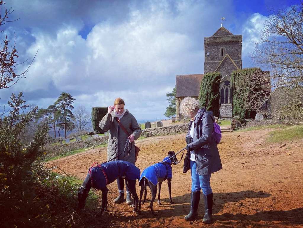
Atop the hill, you’ll find the lovely Church of St Martha-on-the-Hill (also known as St Martha’s Church). This protected, grade II listed building is accessible only by foot and the only church in Surrey on the Pilgrims’ Way, the historical route supposedly taken by pilgrims from Winchester to Becket’s shrine at Canterbury.
It is believed that human interest in this hill as a place of reverence dates back to the Stone Age, with archaeologists finding evidence of Neolithic (8,000 BC – 3,000 BC) flints and ancient earthworks. According to the Doomsday Book, a Saxon chapel was built on the summit but no trace of it has ever been found and we know that, by the early 13th century, a Norman church occupied the spot. Constructed between 1189 and 1204, it was dominated by a tall west tower, creating a landmark which would have been visible for miles around. Sadly, this fell into ruin following a series of huge explosions in 1745, with several accidental blasts in the gunpowder works tucked under the hill’s southern slopes causing the tower to crash to the ground. (Note – Chilworth Gunpowder Mills walk here.)
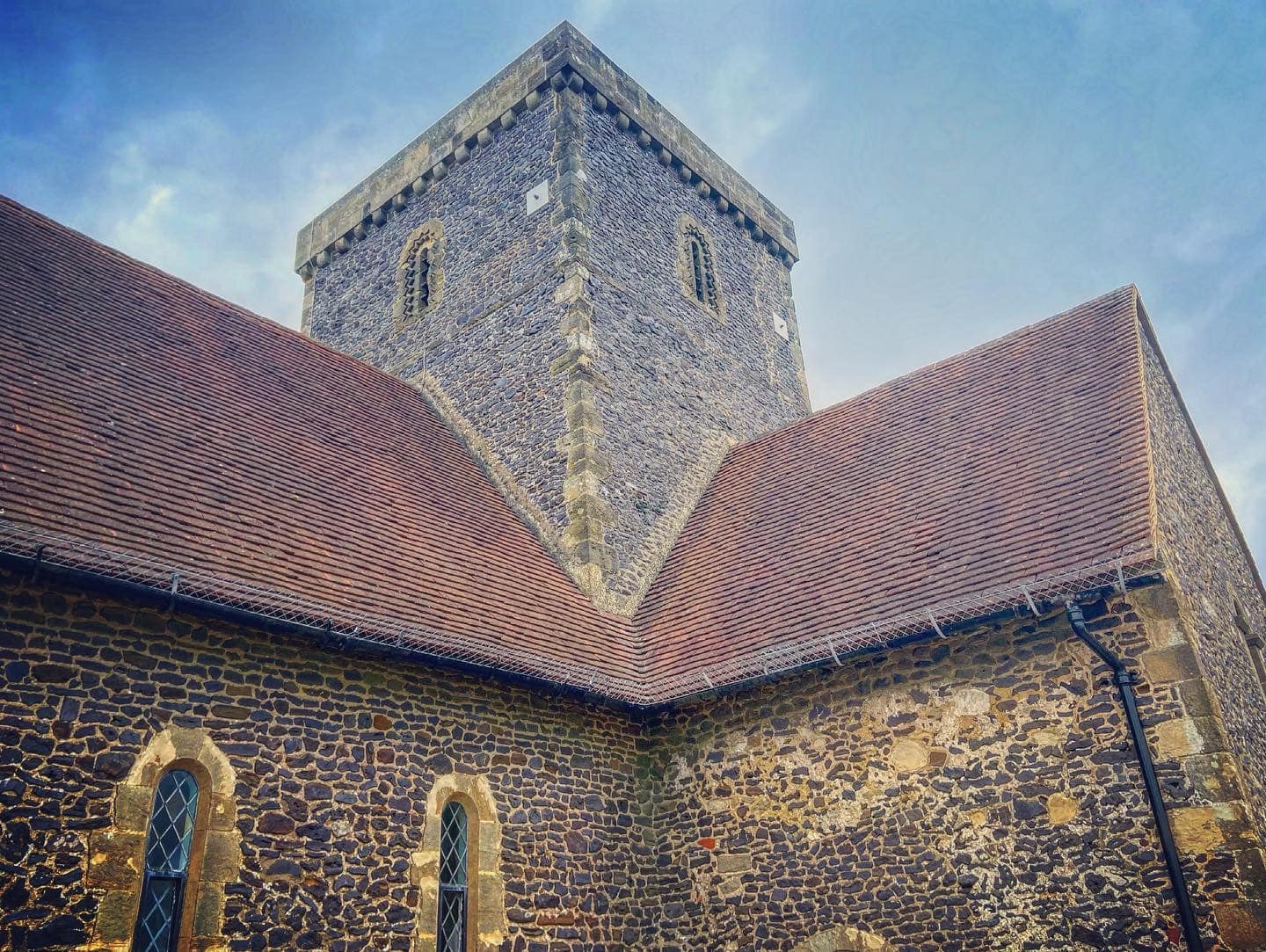
Anyway, the church you see here today was built in 1848–50, and its design emulated many of the original architectural features, including Norman arches to the main entrance and zig zag moulded lancet windows on the tower.
For those of you into your more popular culture, St Martha’s Hill features briefly in the opening scenes of the 1944 film A Canterbury Tale, where the pilgrims are riding on horseback (whole film available on YouTube), and the church appeared in some exterior shots in Kenneth Branagh’s 1995 romantic comedy In the Bleak Midwinter, starring Richard Briers and Joan Collins (trailer here.)
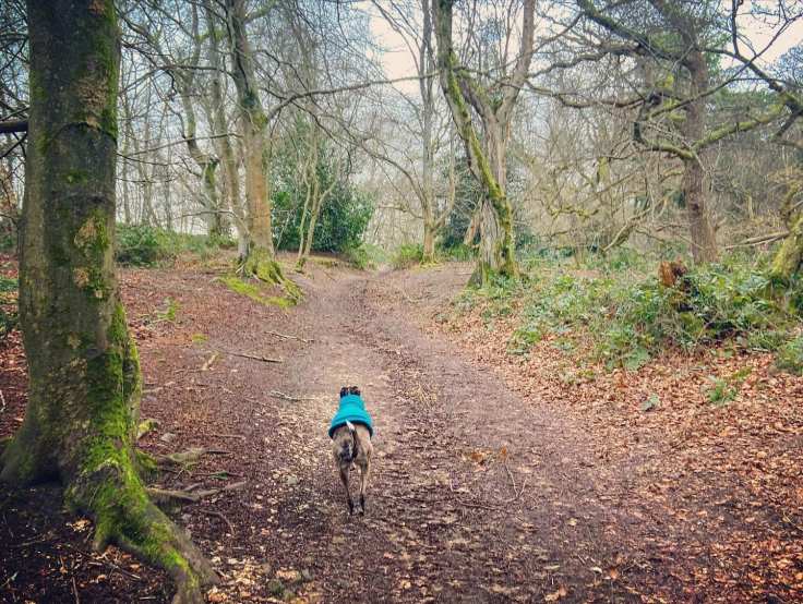
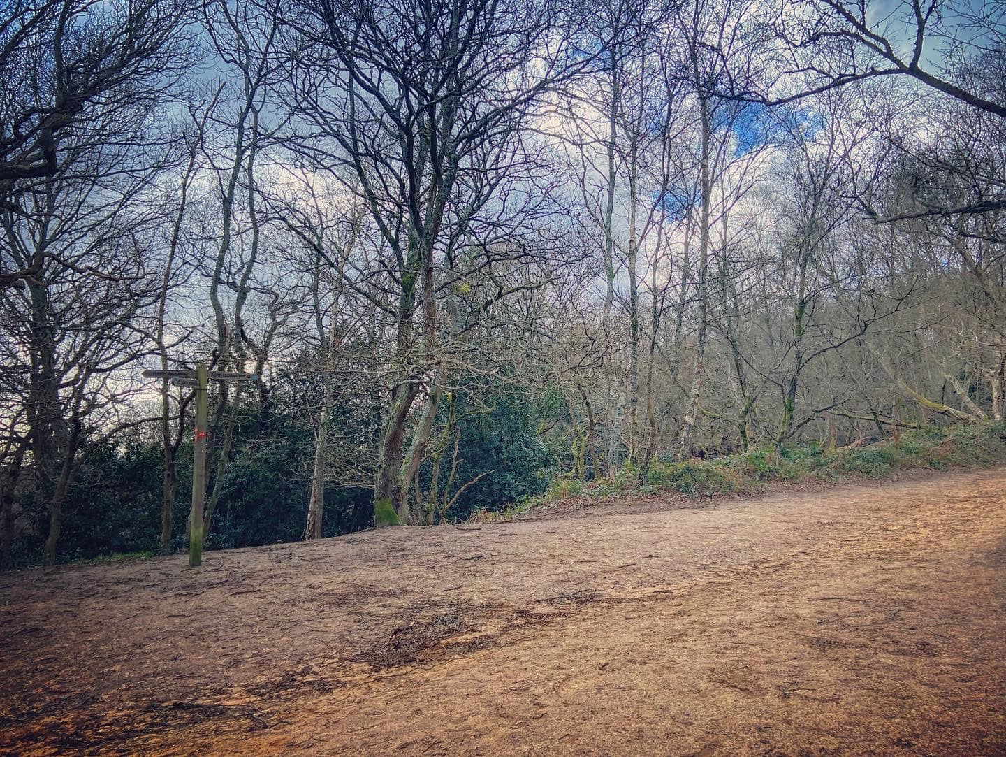
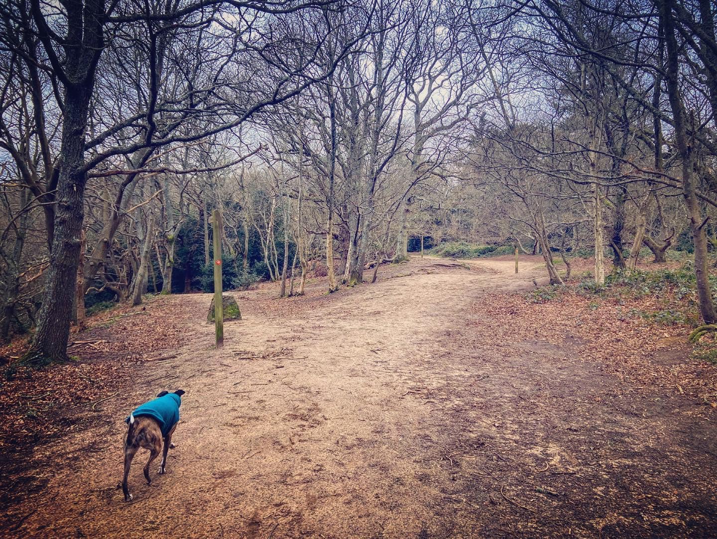
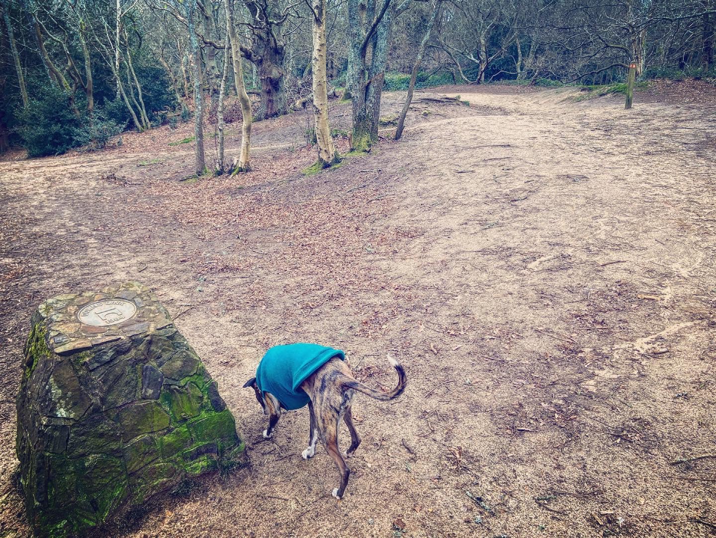
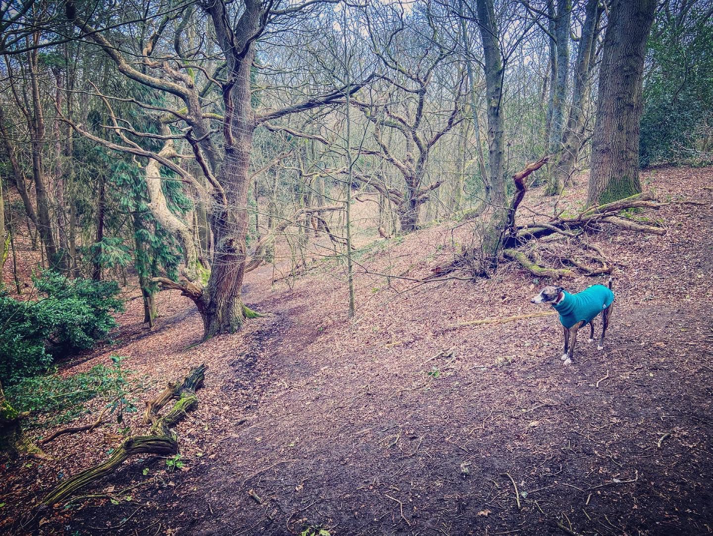
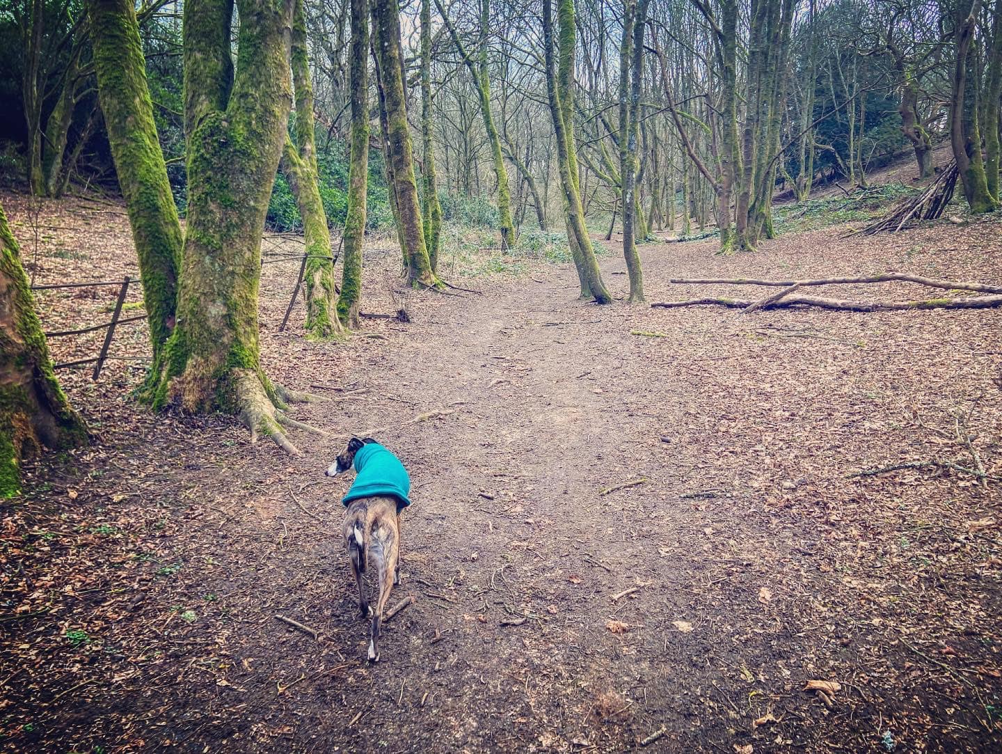
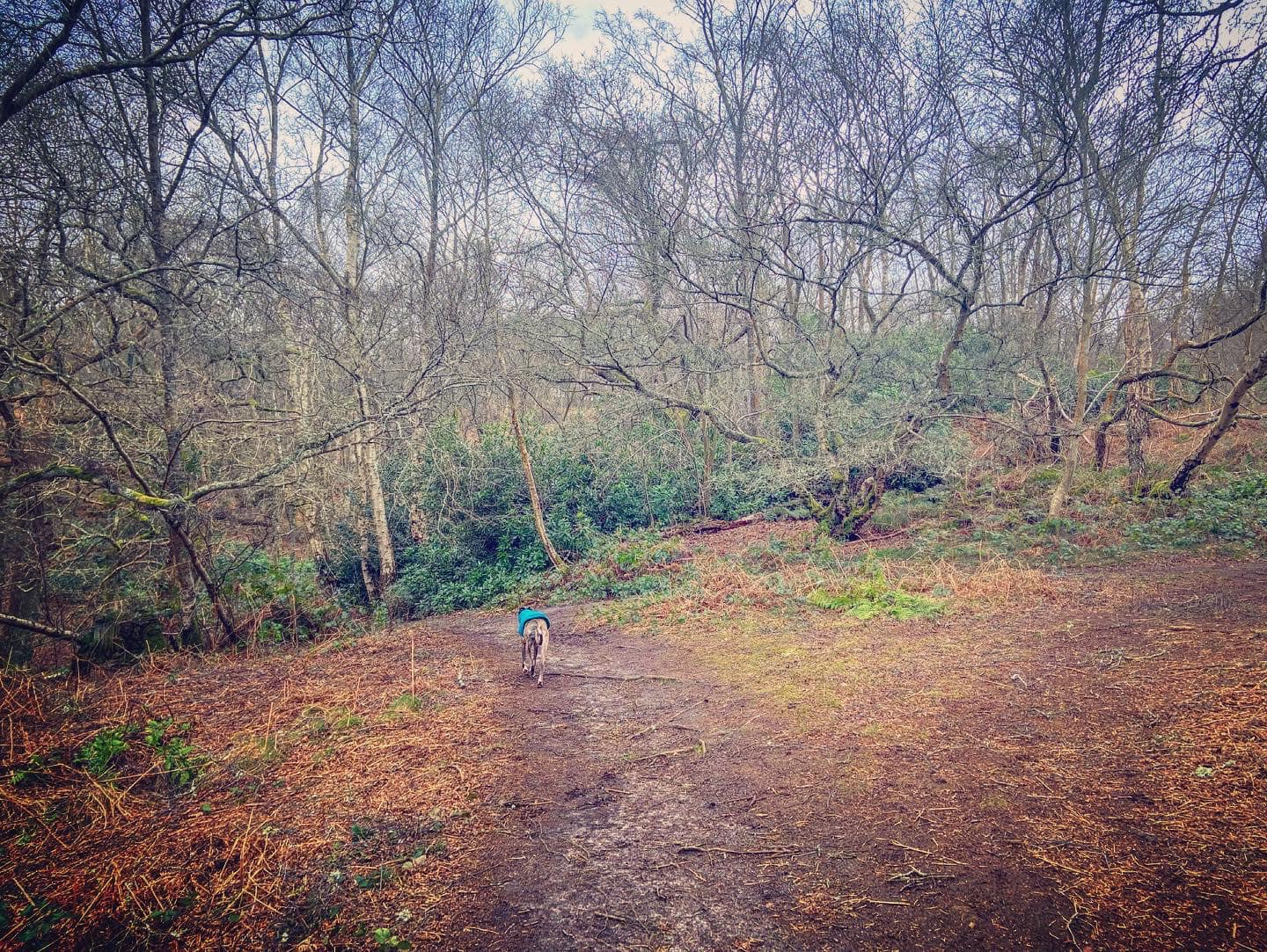
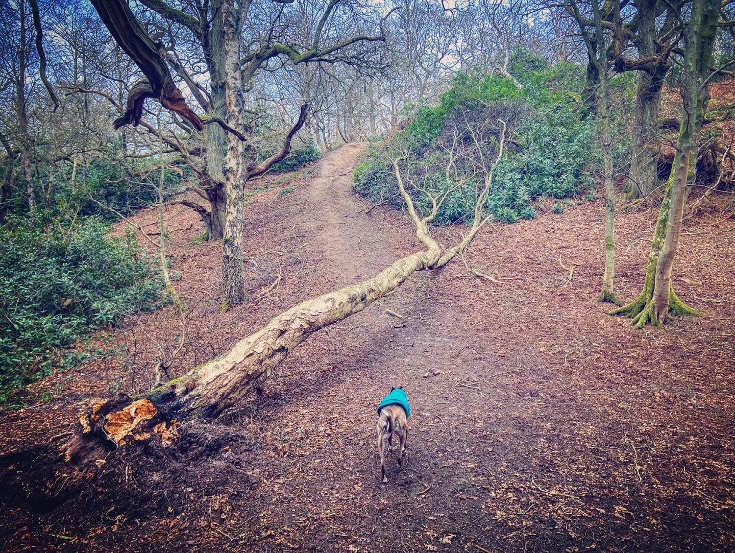
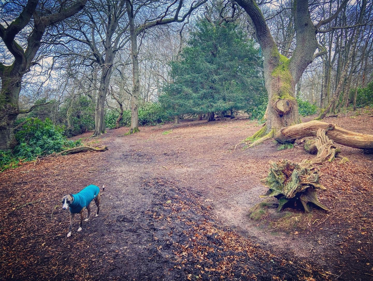
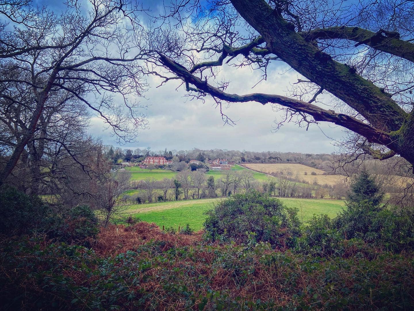
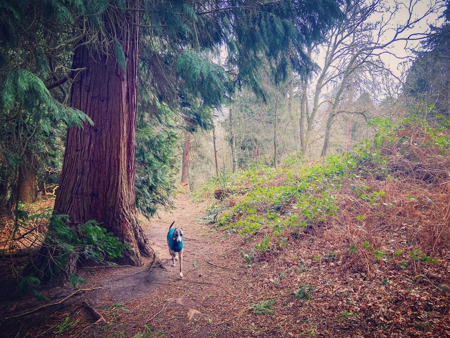
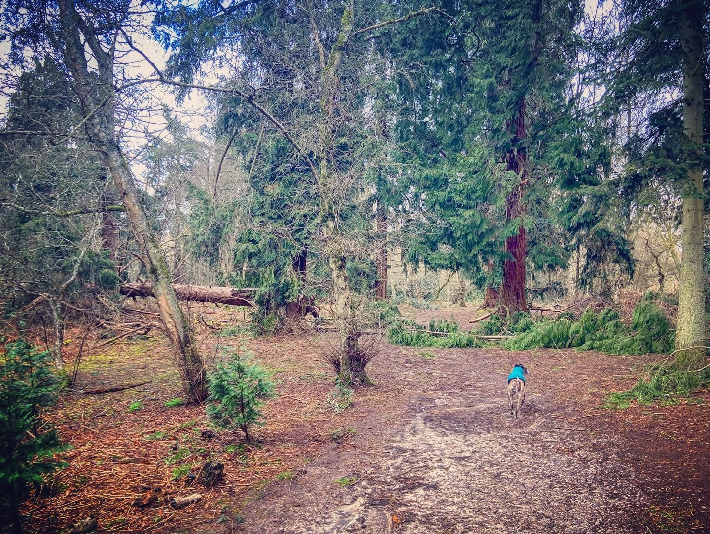
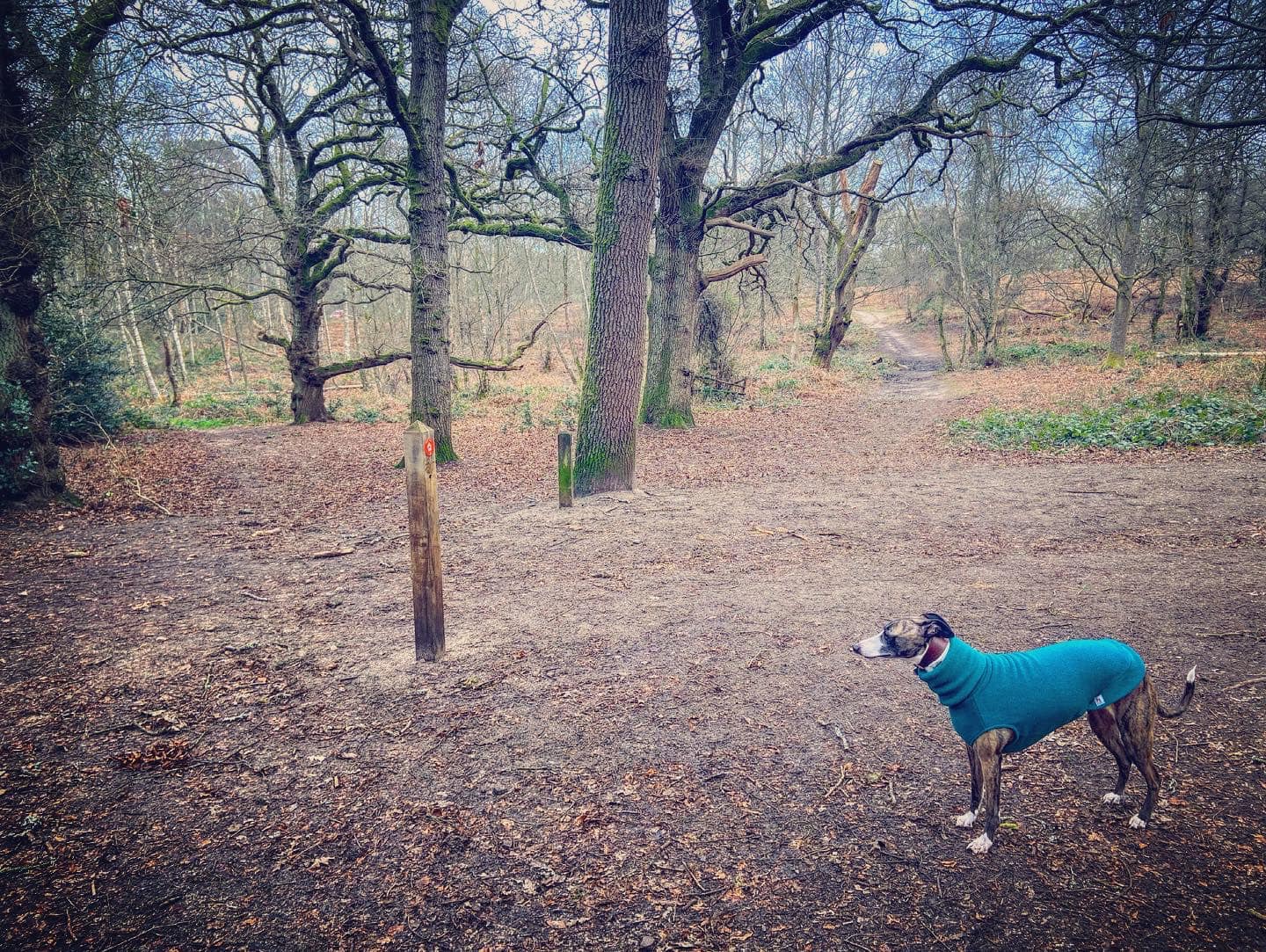
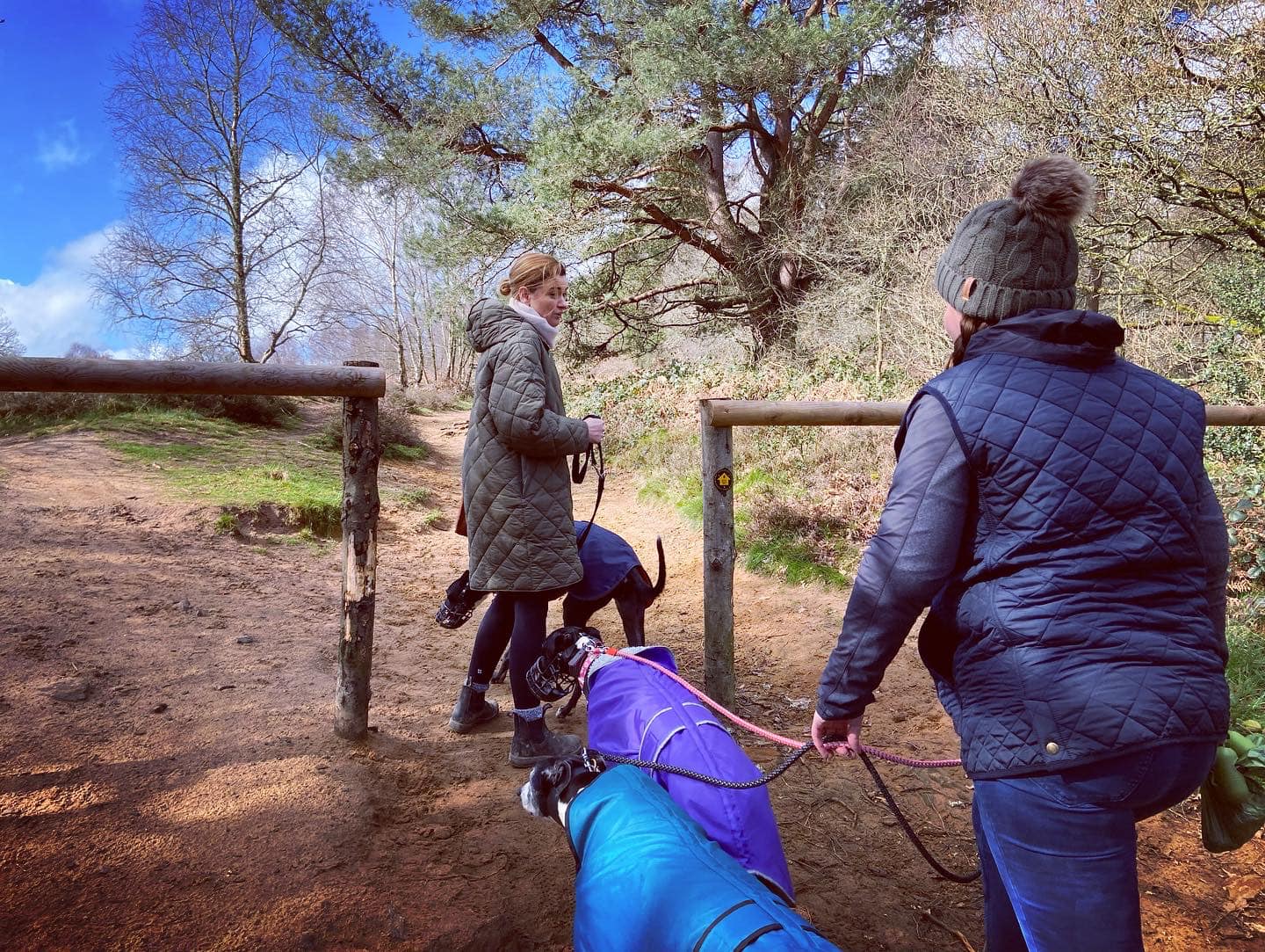
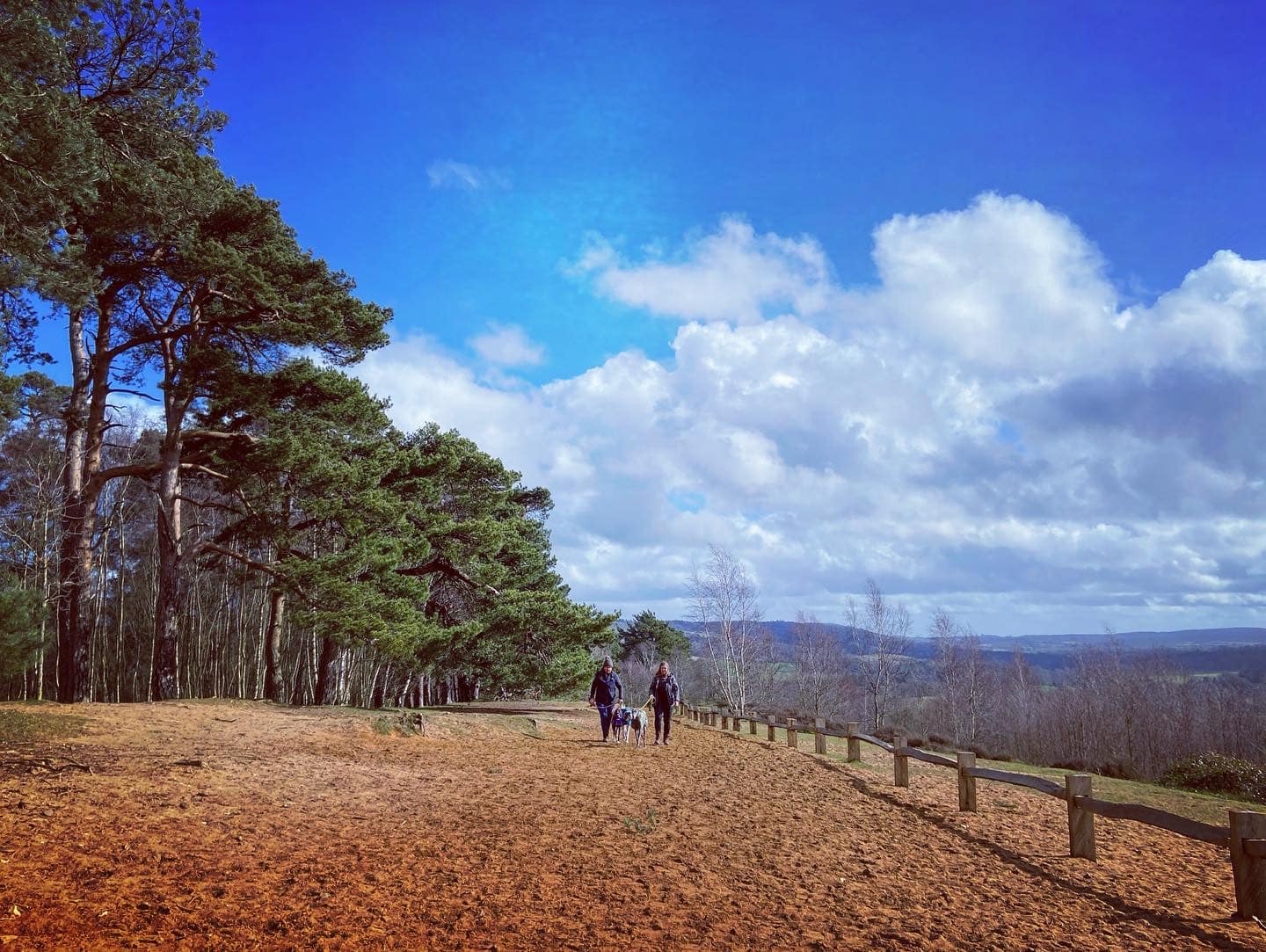
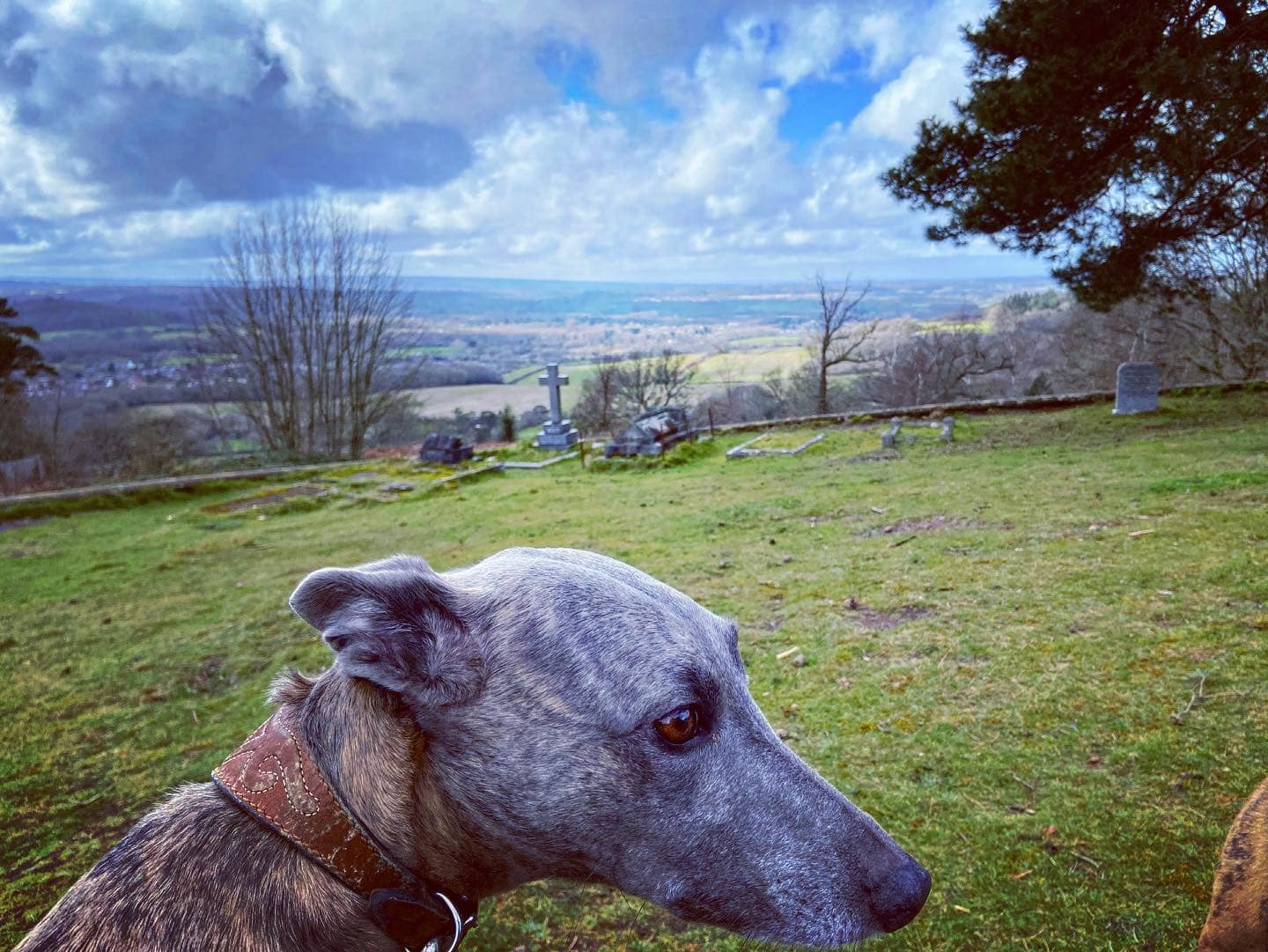
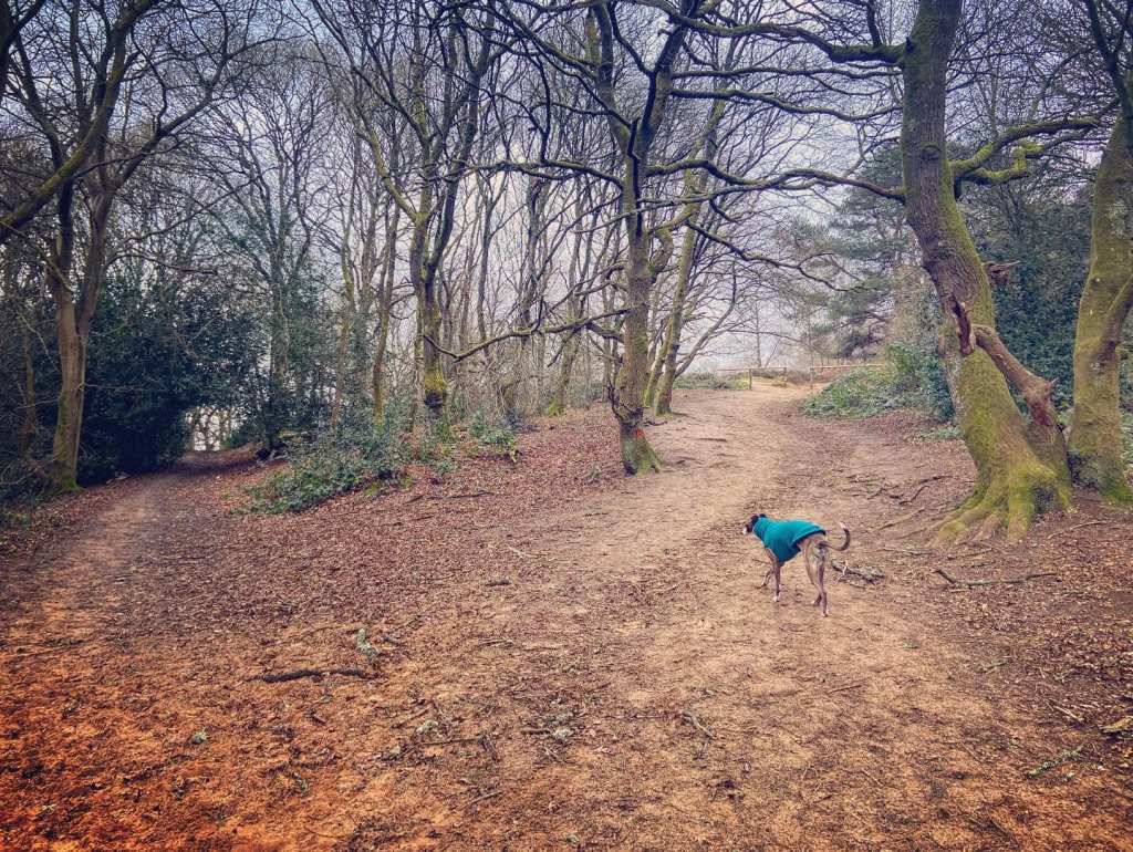
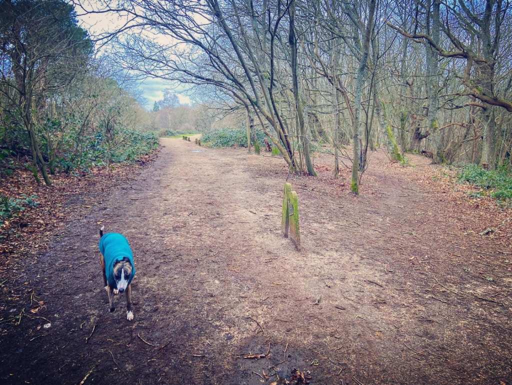
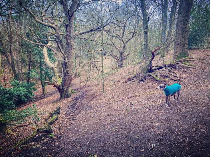
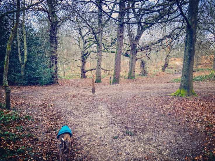
Gallery: What’s it like here?


Parking
There are two car parks for St Martha’s Hill, one on either side of the hill. Both are free.
My personal preference is the one on Guildford Lane, but this is the slightly smaller of the two so you may have more joy at the one on Halfpenny Lane. Either way, this page has walks from each – largely the same but small variations depending on the car park you opt for.
The other car park is on Halfpenny Lane. This is the larger of the two car parks, but it also serves The Chantries/Chantry Wood so you get visitors for both areas at this one. Either way, this page has walks from each – largely the same but small variations depending on the car park you opt for.
Poo bins?
At the car parks, please use them
Self-guided walk
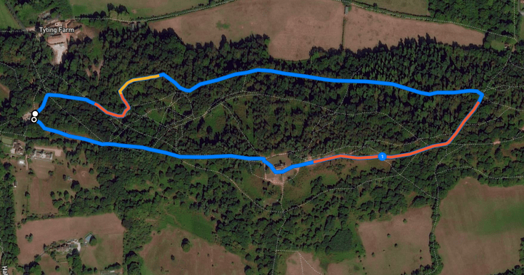
There are two self-guided walks on this page, the first is from the Guildford Lane car park. Keep scrolling down the page (or click here to jump down) to get to the second, which is from the slightly larger car park at Halfpenny Lane.
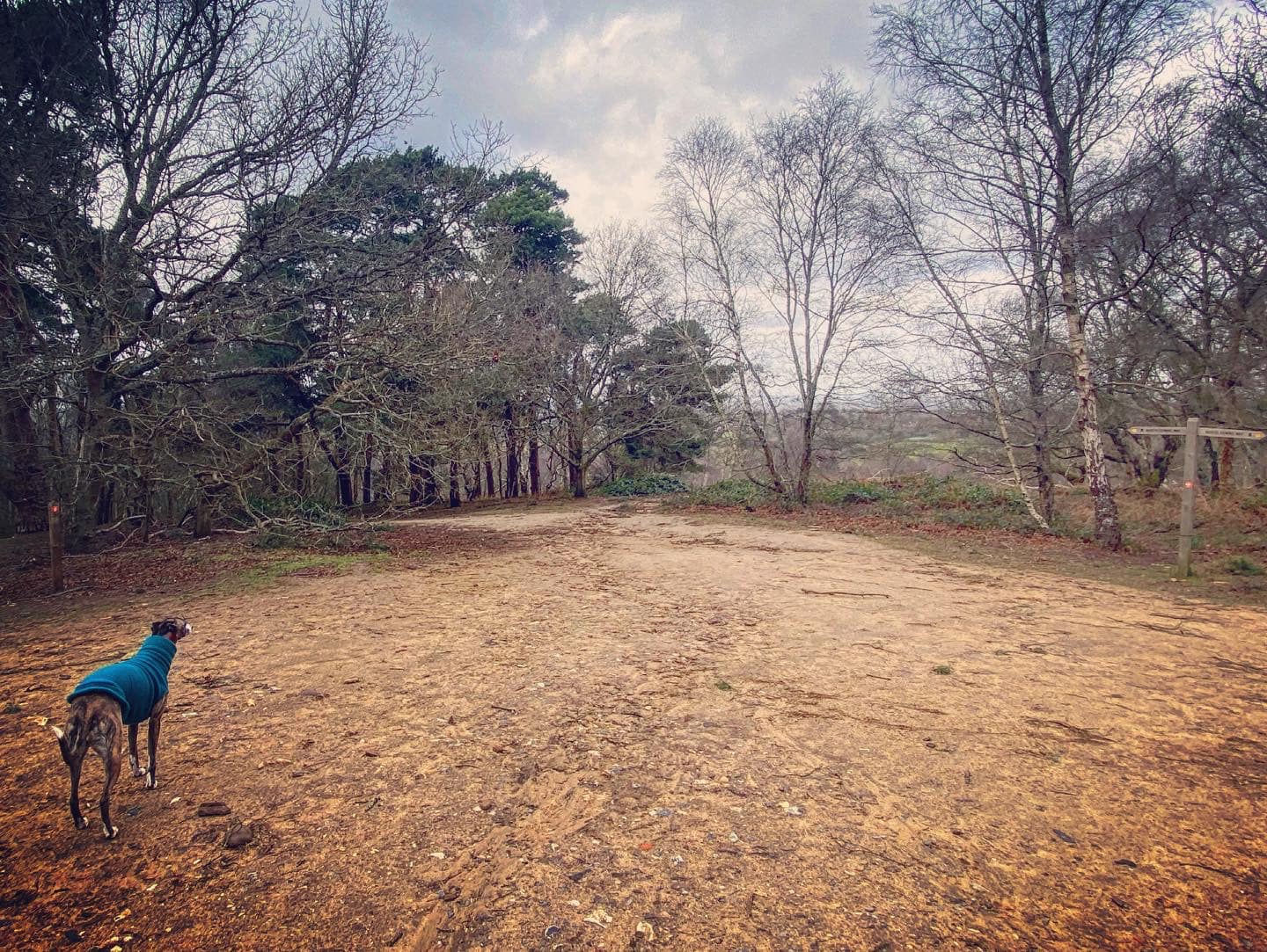
Walk from Guildford Lane car park
Here is a Footpath app route from the free car park on Guildford Lane. Also on AllTrails. While a fairly short walk, this is pretty challenging due to the steep slopes. The route takes you up the hill to the church, then down the other side and loops back to the car park through woodland.
Length: approximately 1.8 miles/2.8 km
Terrain: Well, it’s a hill! The soil is quite sandy but there are some sections through the woods that can get muddy. Wear decent walking boot/shoes – the terrain can be uneven underfoot.
Stiles/kissing gates? No stiles, no kissing gates

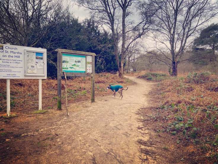
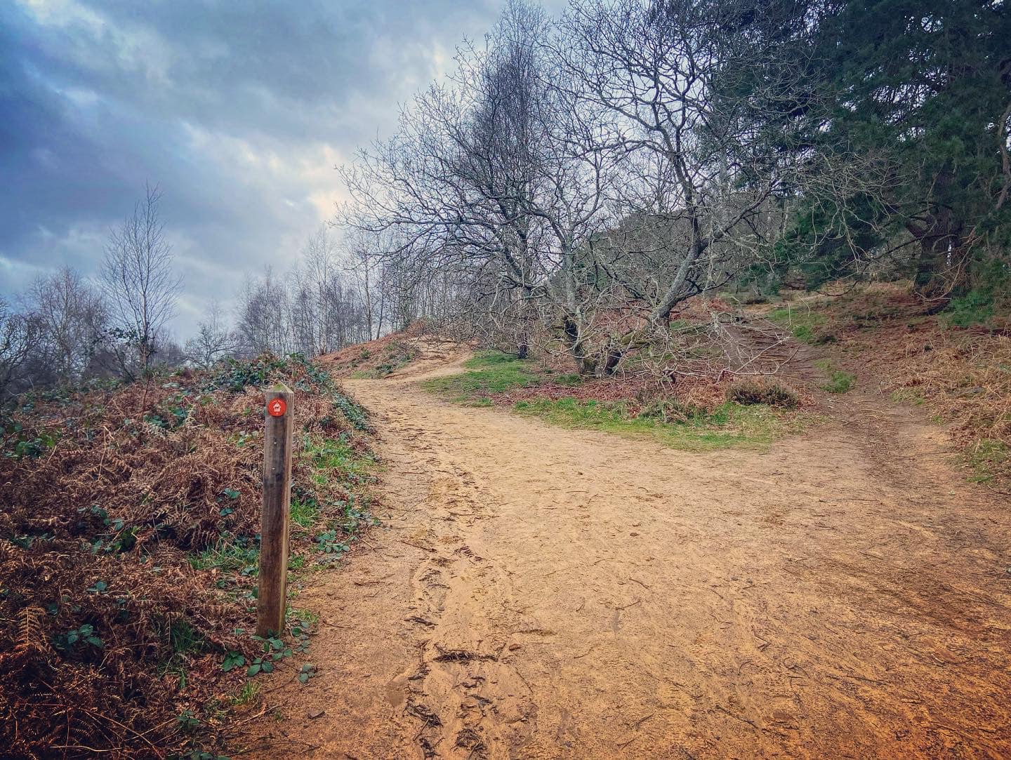
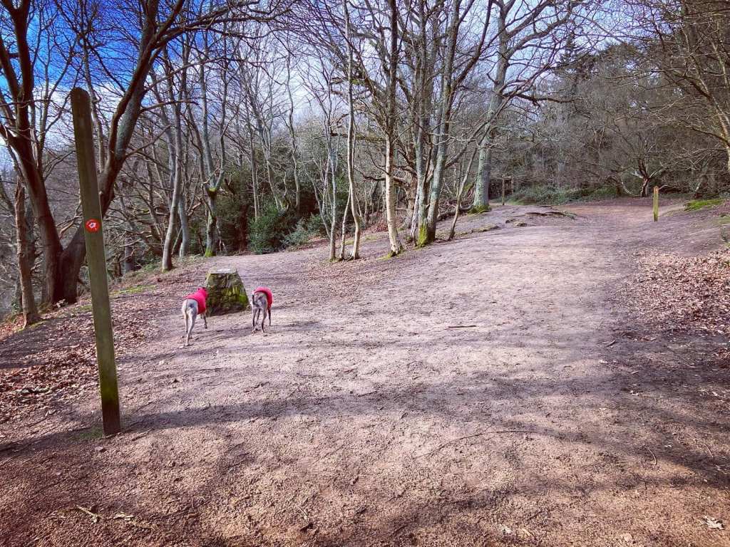
At the back of the Guildford Lane car park, ignore the wooden vehicle gate – head by the green poo bin to information board and turn right on the sandy path.

Continue ahead where other paths join this one and it widens out. You should notice to your left, on an adjoining path, that there’s a finger post. The path heads gently uphill and round to the right. Over to your left, you’ll see rolling fields between where you are and the village of Chilworth.
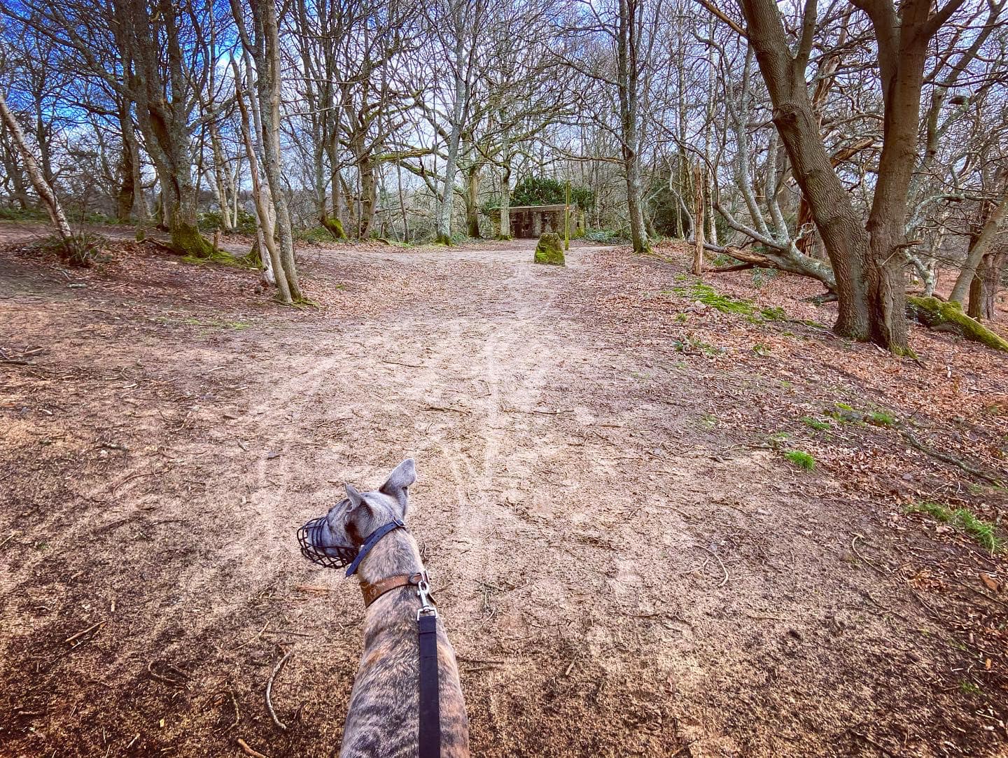
Pass a WW2 pillbox, part of the North Downs defence line of invasion as you reach the next finger post, which is by the Downs Link marker stone. Keep right here, ignoring the path to the left. Very shortly after, there’s another finger post and a path off to the right. Again, continue straight up the hill on the North Downs Way, which for this stretch of its route follows the old Pilgrim’s Way.
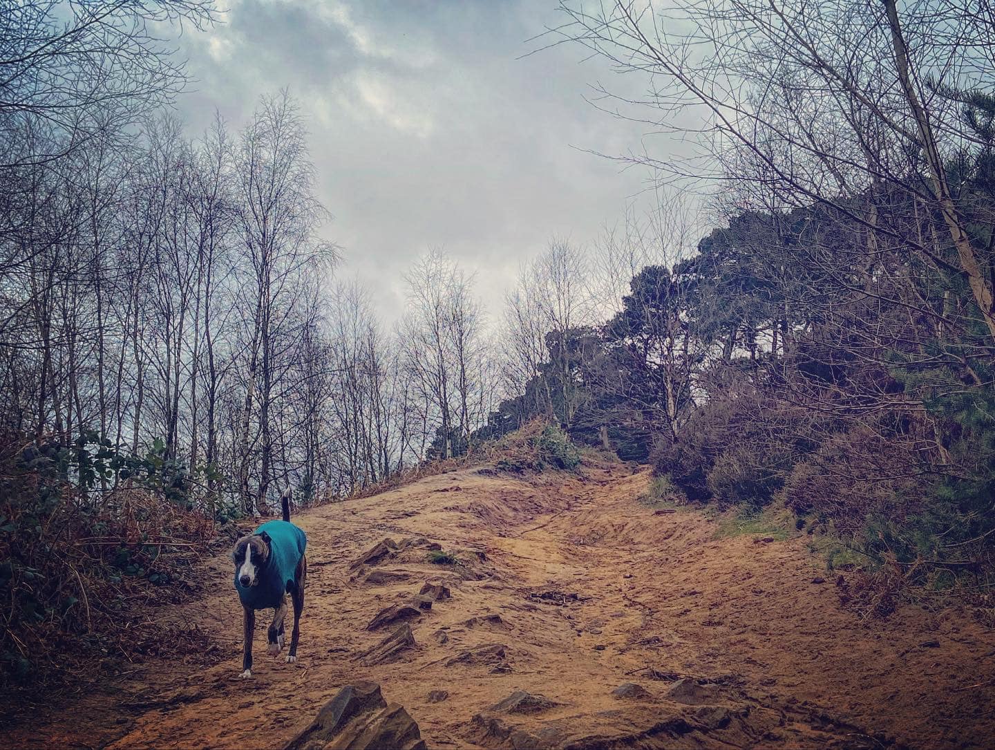
Take the right hand fork at the next finger post, taking the path up the hill towards the wooden barrier with the gap in it, rather than the lower path.
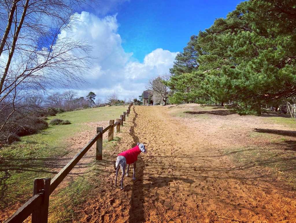
Sorry about the hilliness and all that but the area name does rather give away what this walk is about – the view at the top is worth it. Stick to the main path, passing the orange marker. It’s steep and craggy so do take care. At the brow of the hill, a small fence will be along the left side of the path and St Martha’s Church will come into view ahead.

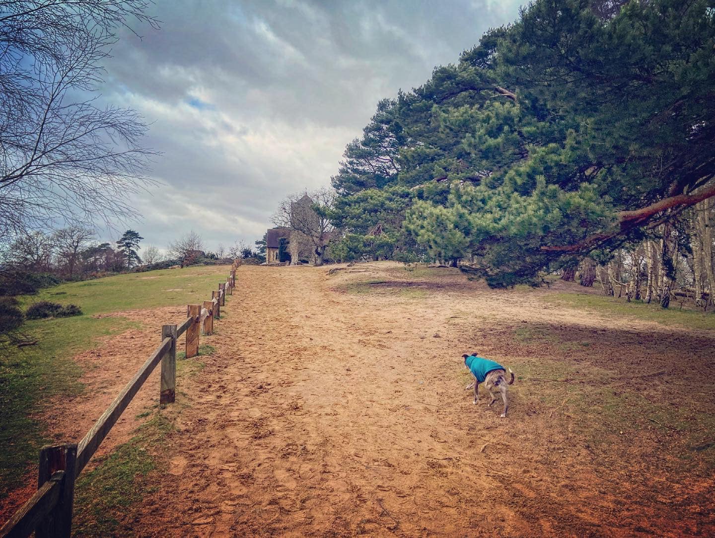
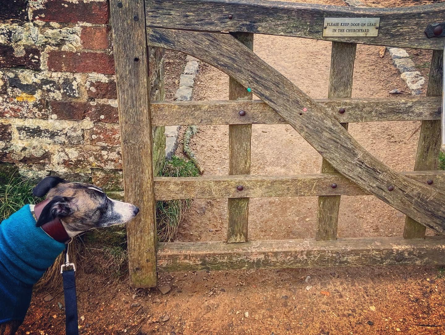
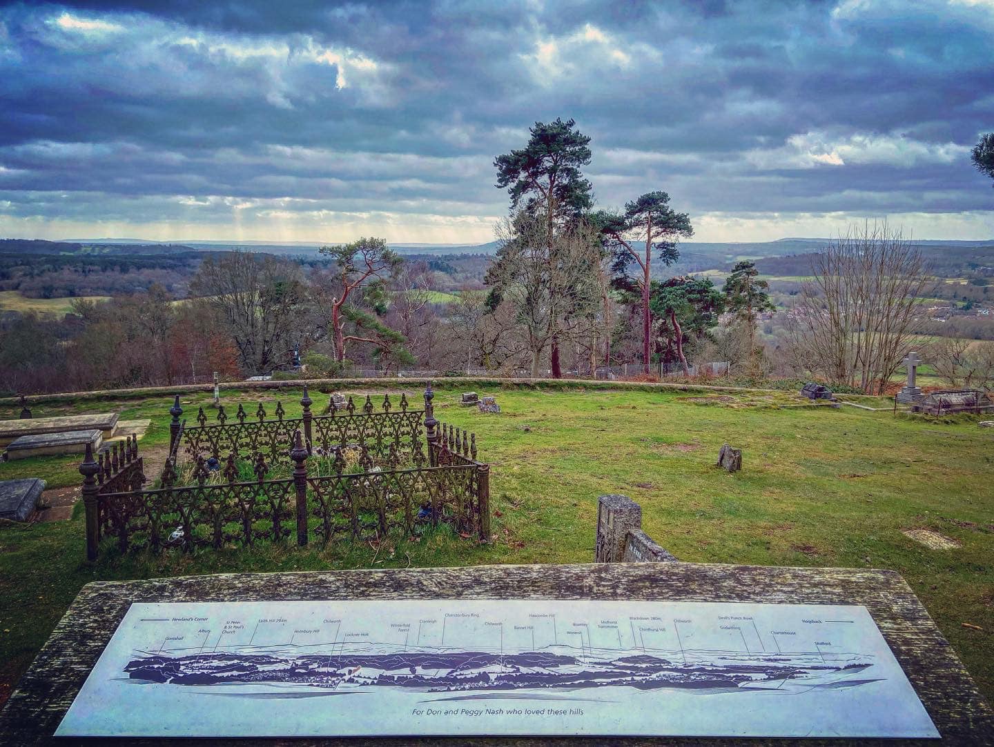
Pass a well placed bench and, if your dog is off lead, pop it back on in order to continue straight through the little gate into the churchyard. Walk past the church (more benches) and follow the little path past a viewing point (on your left), which explains the view from Gomshall and Albury over to the left to Godalming and the Devil’s Punch Bowl to the right (close up of viewpoint).
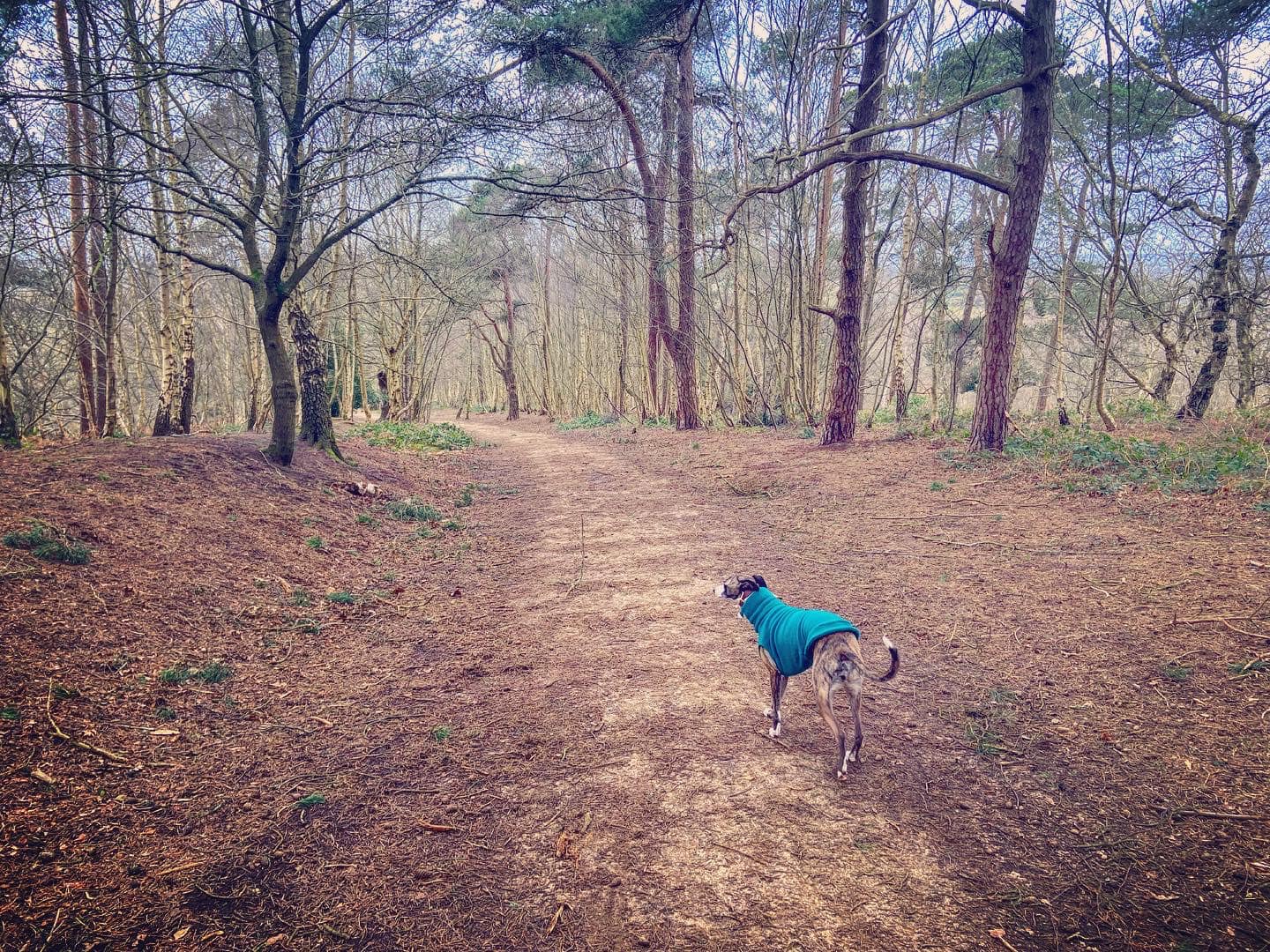
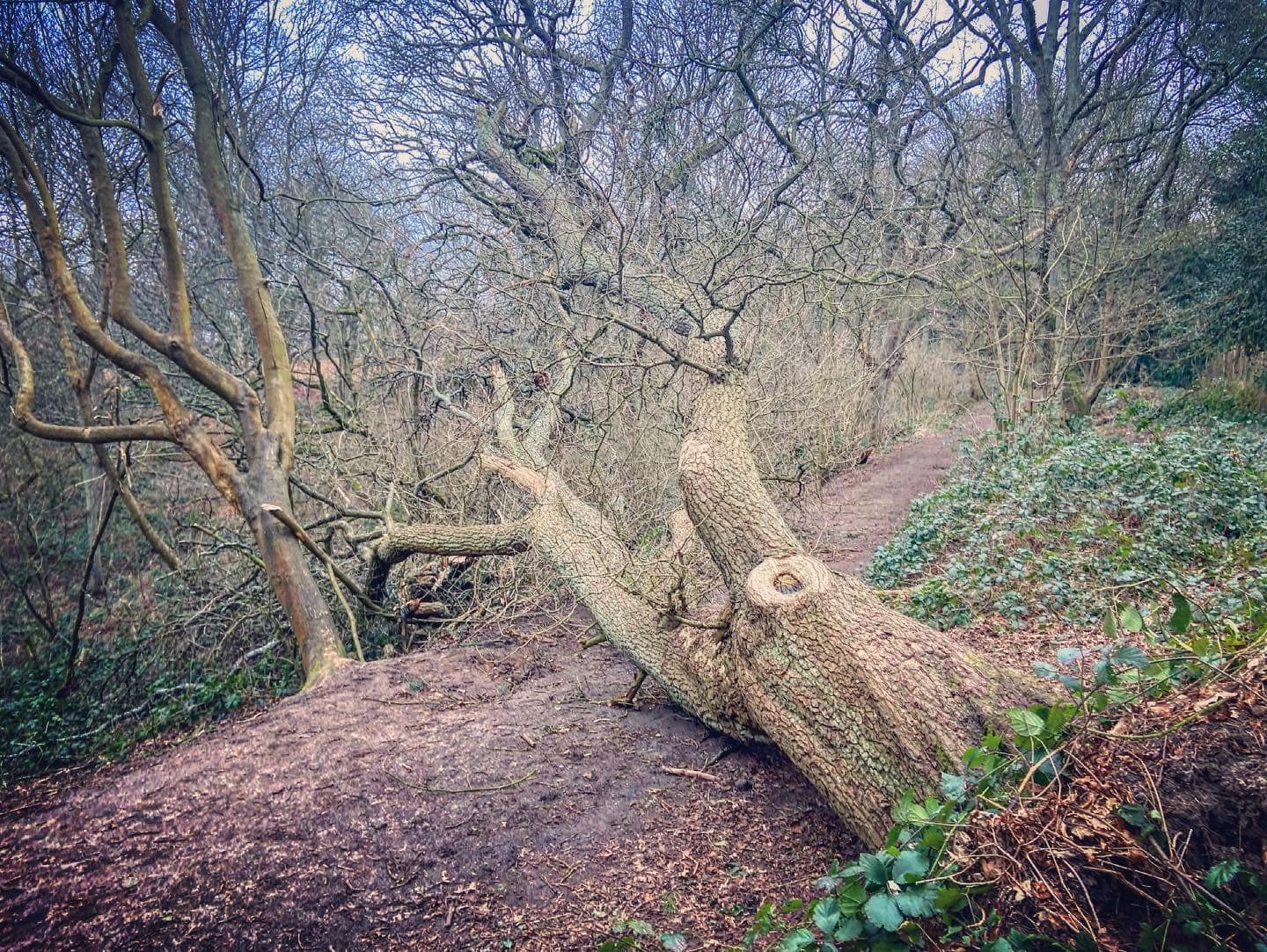
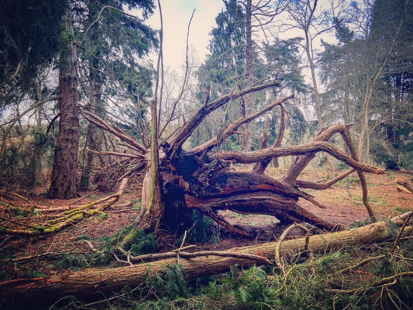
When you’re done, continue through to the gate at the other side of the churchyard. Here you want to take the wide main path ahead and slightly left down the hill. Pass the grey and green electricity boxes (on the right) and a finger post, and go downhill on the main path, which is edged for a little way by wooden slats. Ignore the next path to the right – just keep going. Jett and I walked this route just after the storms in February and, at the time of writing, a tree was down across the path. Walkers have made a way around its root ball but it’s such a major obstruction, I expect it’ll be cleared so there may or may not be a fallen tree to go around here!
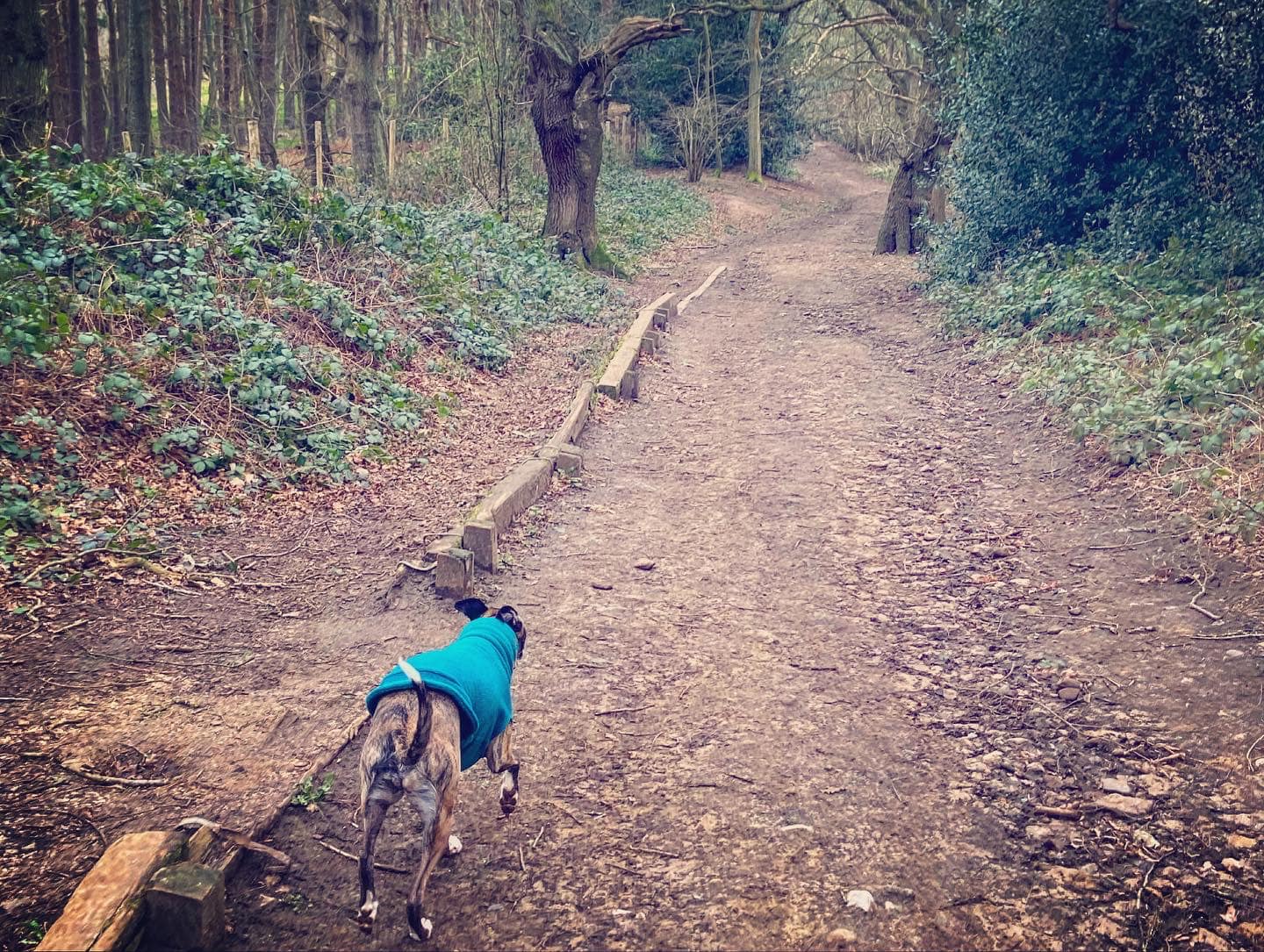
Pass two small metal markers that are right next to one another, and at the next finger post almost immediately after these, come off the main route onto a little path on the right that goes through the trees.
The slope down is fairly gentle at first and then steepens as you reach a path across it with a dead tree alongside it. Turn sharp right here and down the steep slope to the valley bottom. At the bottom, bear right/ahead through the trees.

Notice a path coming down the hillside from the right with a moss covered silver birch trunk alongside it. Ignore it and continue ahead here but almost immediately, the path ahead forks – take the left one, which is the slightly steeper of the two (both join anyway). It goes up to the left…
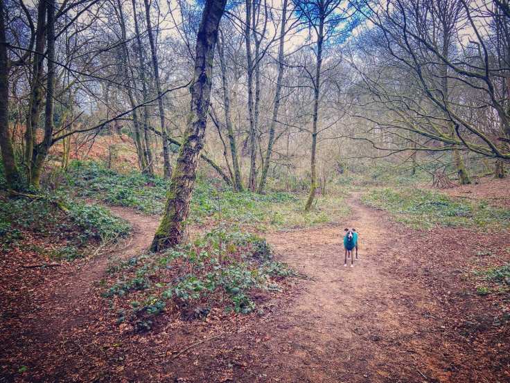
…and joins a path that comes in from the right. Continue ahead/to the left. At the next fork almost immediately after this, bear left..
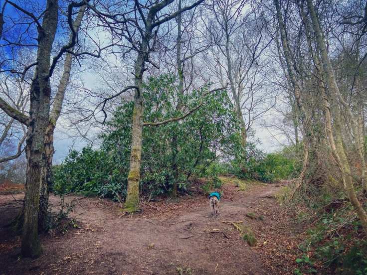
…then left at the next one too to skirt along a rhododendron bush (on your left). Duck under the branches of a small silver birch tree, then follow the path round to the right through a small open area then between rhododendron bushes. Stay on this path, ignoring small ones off left and right.
At a triangular fork, take the left hand option, which goes down the slope and then back up the other side. At the time of writing, a tree is across the path but this may get cleared.

Bear left at the small post with the white marker down slope and then along the contour of the hillside. You’ll notice some pretty impressive properties to your left across the fields on the road to Newlands Corner.
Go straight over the small cross paths where the one up to the right is really steep. Pass a self-guided trail marker, ignoring another path down to the left. After a short way, you’ll cross another cross paths and head between some tall Redwood trees. Stay on the main path (there’s a Redwood almost on it at one point and here the path narrows as you pass it).

Just keep going! Pass another marker post (on right of the path) and keep going (passing – at time of writing – a big fallen tree on the left) until you get to a junction of paths where there is a marker post with an orange circle on it. Go straight over – but you’ll see there are two paths ahead; take the right-hand option.
At the next fork, bear left on the path that you can see leads to the Guildford Lane car park, coming out by the wooden vehicle barrier.
Walk from Halfpenny Lane car park
Here is a Footpath app route from the free car park on Halfpenny Lane. Also on AllTrails. While a fairly short walk, this is pretty challenging due to the steep slopes. The route takes you through woodland, then up a slope to the church on top of the hill and back down to the car park.
Length: approximately 1.6 miles/2.5km
Terrain: Well, it’s a hill! The soil is quite sandy but there are some sections through the woods that can get muddy. Wear decent walking boot/shoes – the terrain can be uneven underfoot.
Stiles/kissing gates? No stiles, no kissing gates
Take the path from left hand side of the Halfpenny Lane car park, which passes a bench set in the grass.
At the fork, bear right between two trees and down the slope, which has a fallen tree along the left have side down to the valley bottom. It is steep so take care. At the bottom, bear right/ahead through the trees and then down the steep slope to the valley bottom.

At the bottom, bear right/ahead through the trees. Notice a path coming down the hillside from the right with a moss covered silver birch trunk alongside it. Ignore this and continue ahead here but almost immediately, the path ahead forks – take the left one, which is the slightly steeper of the two (both join anyway). It goes up to the left…
…and joins a path that comes in from the right. Continue ahead/to the left. At the next fork almost immediately after this, bear left..
…then left at the next one too to skirt along a rhododendron bush (on your left). Duck under the branches of a small silver birch tree, then follow the path round to the right through a small open area then between rhododendron bushes. Stay on this path, ignoring small ones off left and right.
At a triangular fork, take the left hand option, which goes down the slope and then back up the other side. At the time of writing, a tree is across the path but this may get cleared.
Bear left at the small post with the white marker down slope and then along the contour of the hillside. You’ll notice some pretty impressive properties to your left across the fields.
Go straight over the small cross paths where the one up to the right is really steep. Pass a self-guided trail marker, ignoring another path down to the left. After a short way, you’ll cross another cross paths and head between some tall Redwood trees. Stay on the main path (there’s a Redwood almost on it at one point and the path narrows as you pass it).
Just keep going! Pass another marker post (on right of the path) and keep going (passing a big fallen tree on the left) until you get to a junction of paths where there is a marker post with an orange circle on it.
Turn right here and head up the slope. It’s quite steep, sorry. At the top, there’s a North Downs Way finger post in front of you, turn right onto the sandy path here, which will take you up to the church. (By the way, this stretch of the North Downs Way follows the old Pilgrim’s Way.)

Take the right hand fork at the next finger post, taking the path up the hill towards the wooden barrier with the gap in it, rather than the lower path.
Sorry about the hilliness and all that but the area name does rather give away what this walk is about – the view at the top is worth it. Stick to the main path, passing the orange marker. It’s steep and craggy so do take care. At the brow of the hill, a small fence will be along the left side of the path and St Martha’s Church will come into view ahead.
Pass a well placed bench and, if your dog is off lead, pop it back on in order to continue straight through the little gate into the churchyard. Walk past the church (more benches) and follow the little path past a viewing point (on your left), which explains the view from Gomshall and Albury over to the left to Godalming and the Devil’s Punch Bowl to the right (close up of viewpoint).

When you’re done, continue through to the gate at the other side of the churchyard. Here you want to take the wide main path ahead, and slightly left down the hill. Pass the grey and green electricity boxes (on the right) and a finger post, and go downhill on the main path, which is edged for a little way by wooden slats. Ignore the next path to the right – just keep going. Jett and I walked this route just after the storms in February and, at the time of writing, a tree was down across the path. Walkers have made a way around its root ball but it’s such a major obstruction, I expect it’ll be cleared so there may or may not be a fallen tree to go around here.
Pass two small markers, a finger post and series of small wooden posts. Just after these little posts, the path forks.
Keep right through the open grassy area towards a red poo bin ahead. Stay on this path and it will bring you down to the Halfpenny Lane car park.

Well done,I nice presentation and pics…a lot of work,but I think you enjoyed it. Regards Malcolm.
Sent from Yahoo Mail for iPad
LikeLiked by 1 person