Page contents
About
Gallery
Parking
Poo bins?
Self-guided walk
About
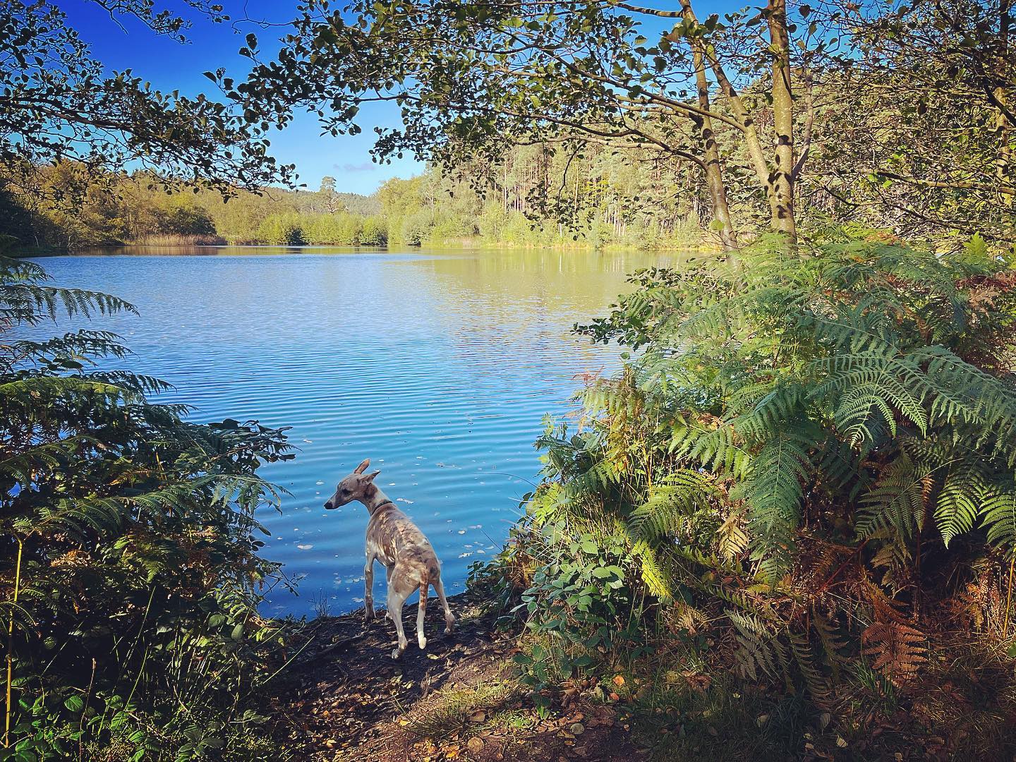
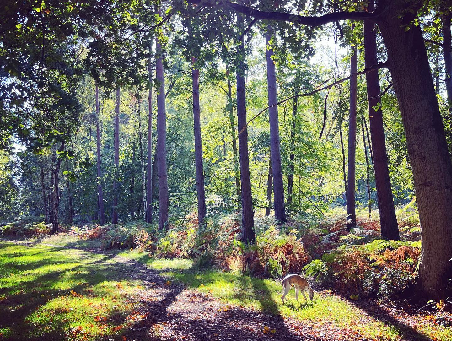
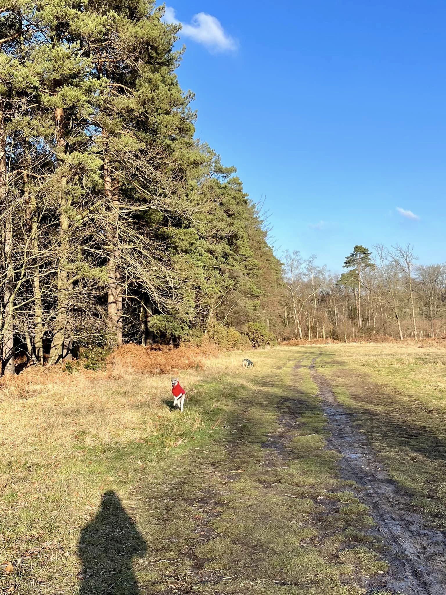
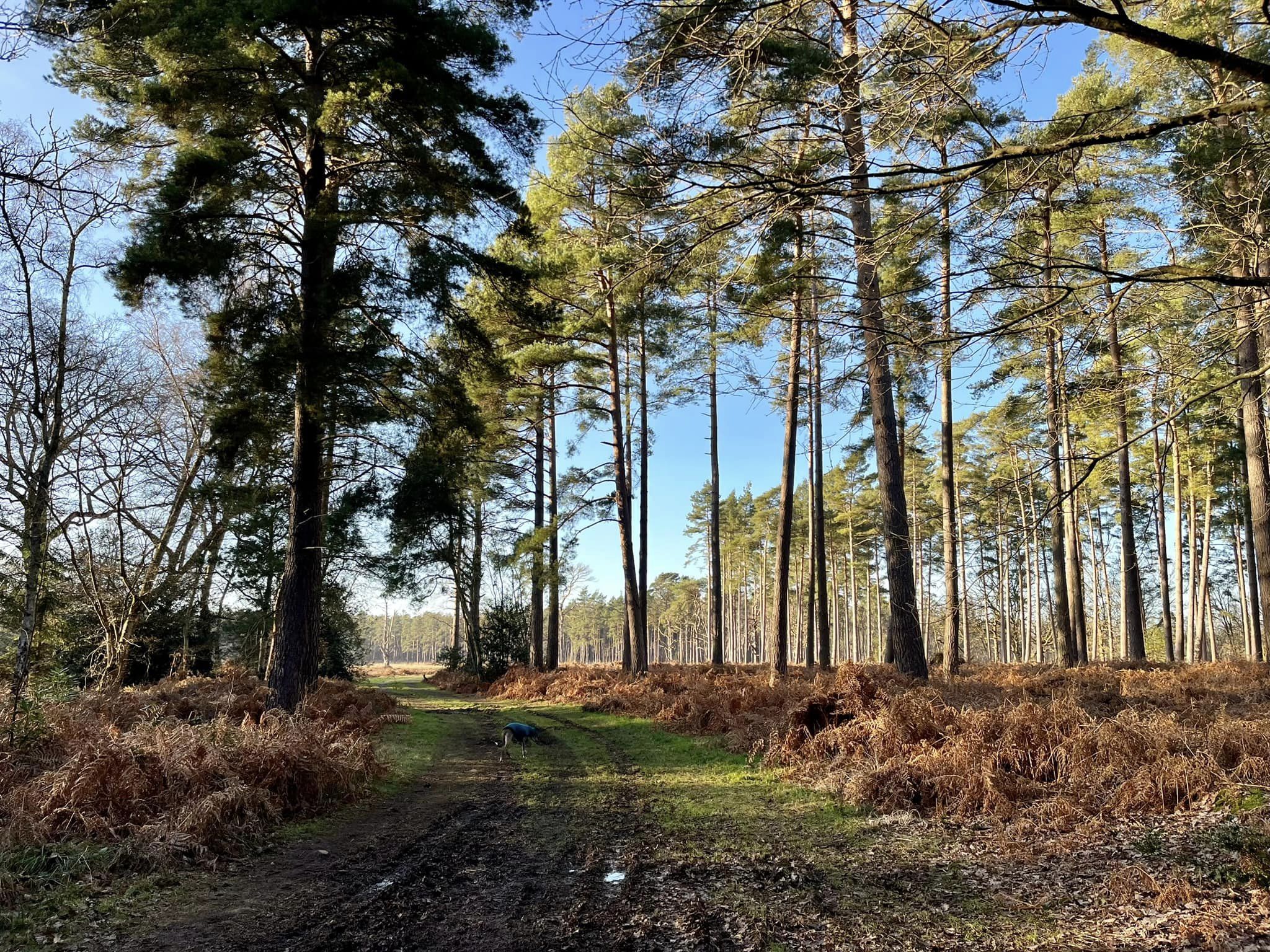
Evolved from one of the largest Royal hunting woodlands, Swinley Forest is renowned for its exquisite beauty which stretches across 2,600 acres. Historically, the timber from the forest was used for ship construction and building.
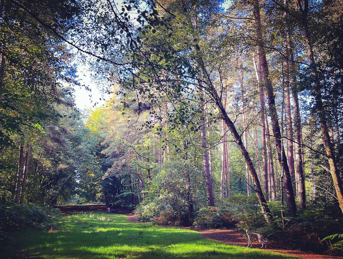
Today, the forest is mainly Scots Pine trees managed by the Crown Estate under a multi-purpose policy, which aims to integrate the conservation of wildlife, timber production and public access.
Swinley Forest straddles the boundary between Surrey and Berkshire, and the walk on this page starts in the former but crosses briefly into the latter.
In the springtime, there are swathes of bluebells in the woods.
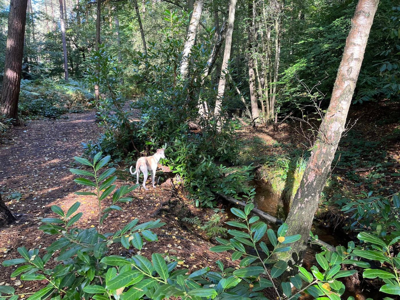
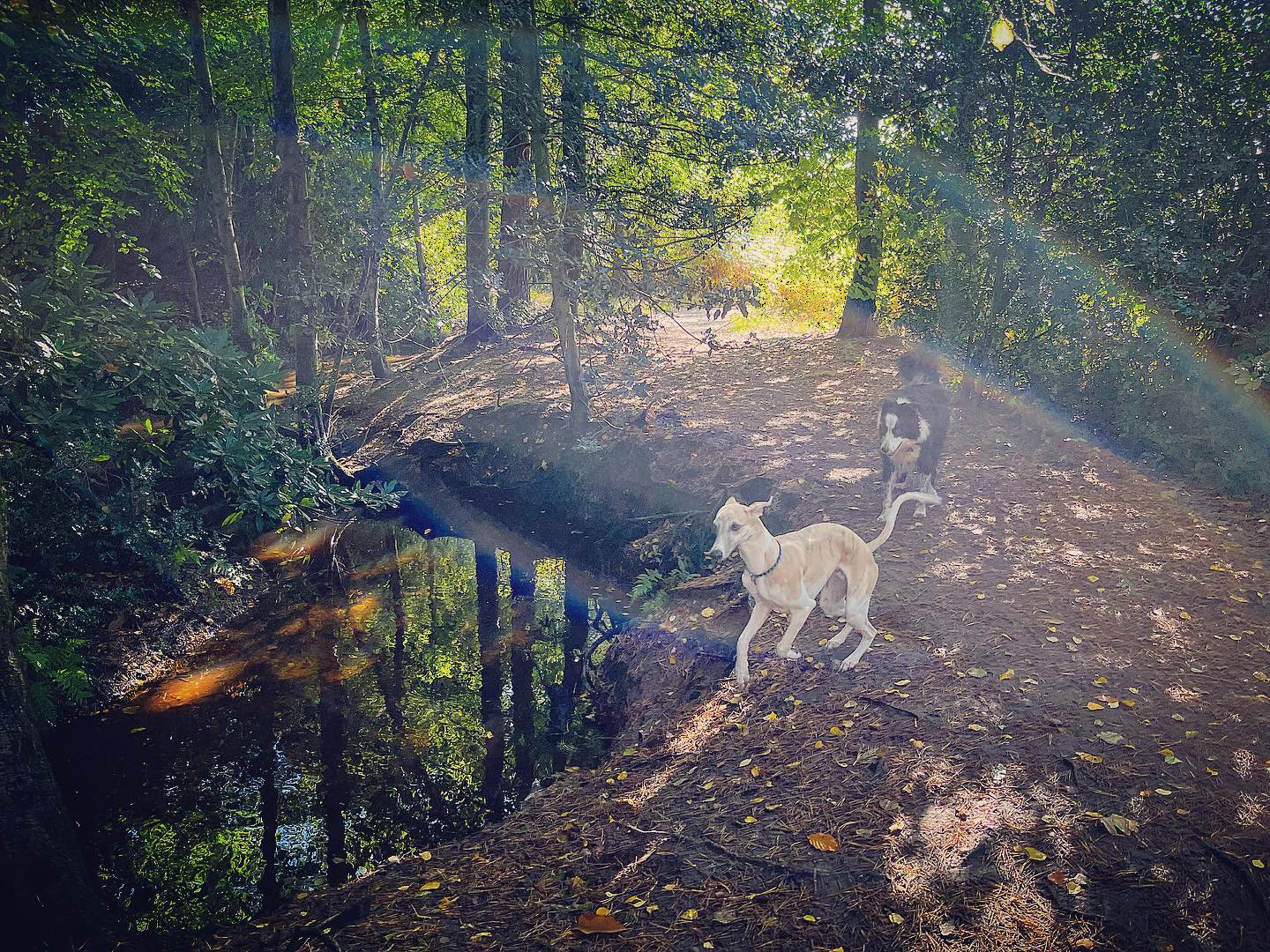
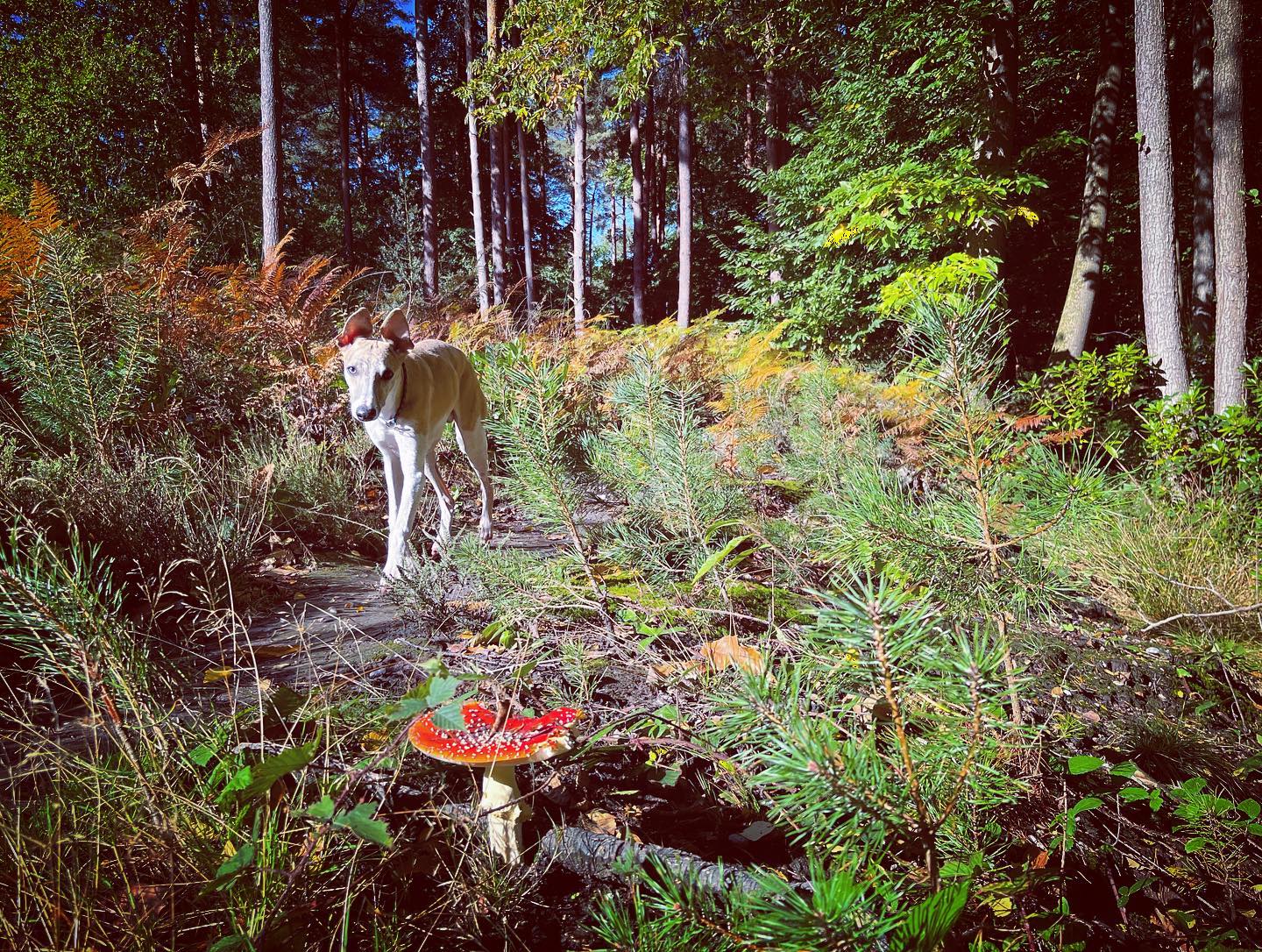
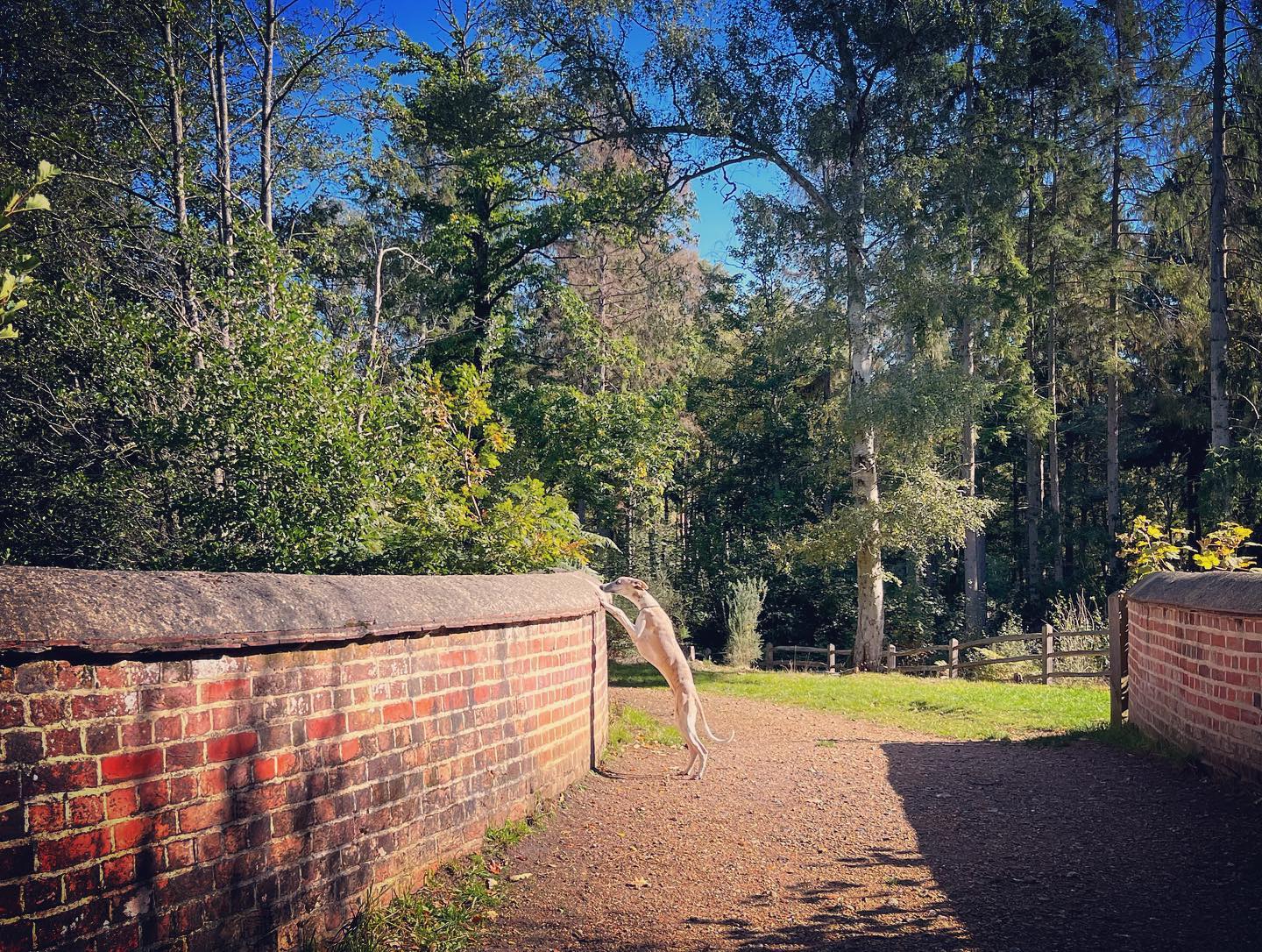
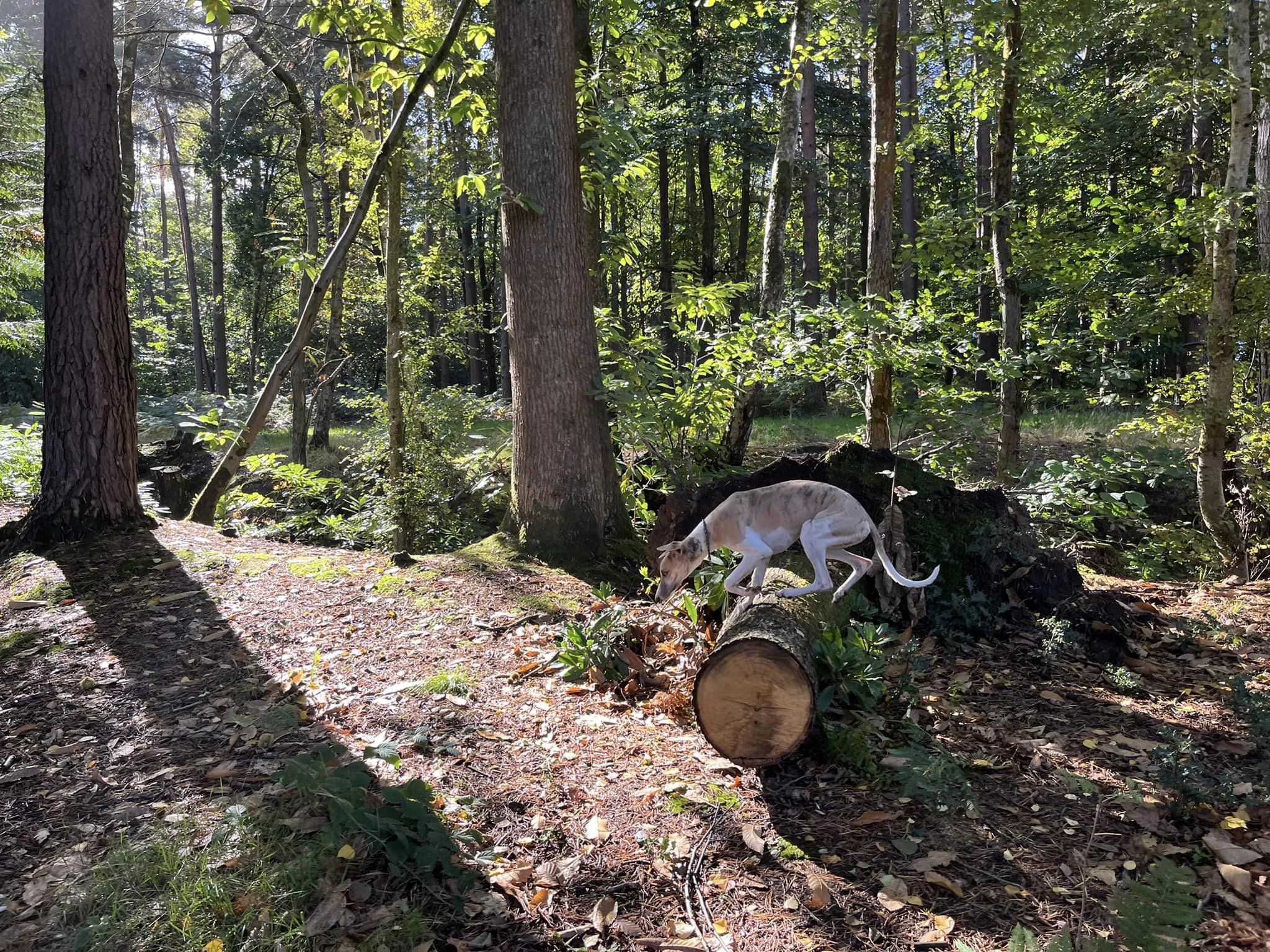
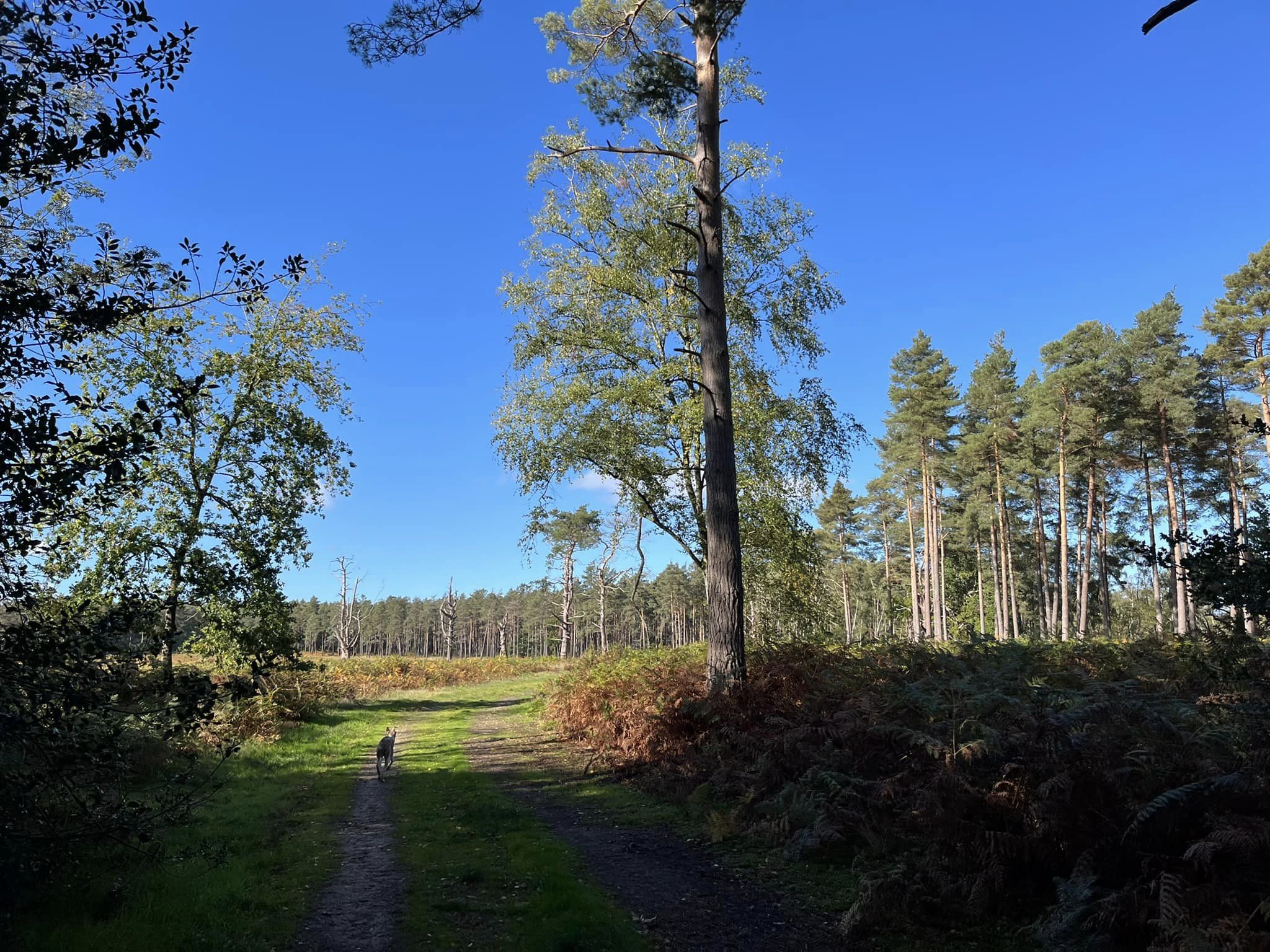
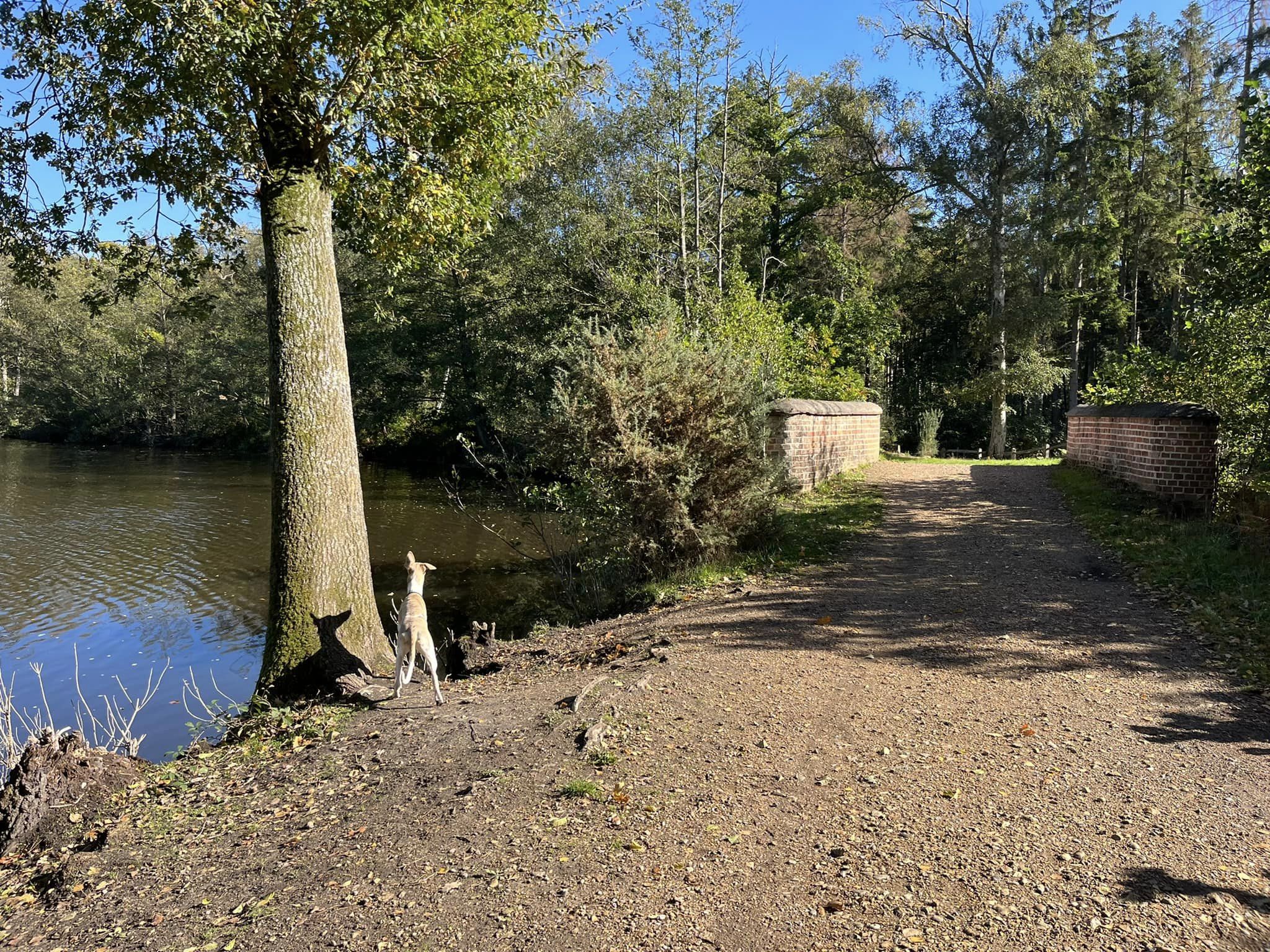
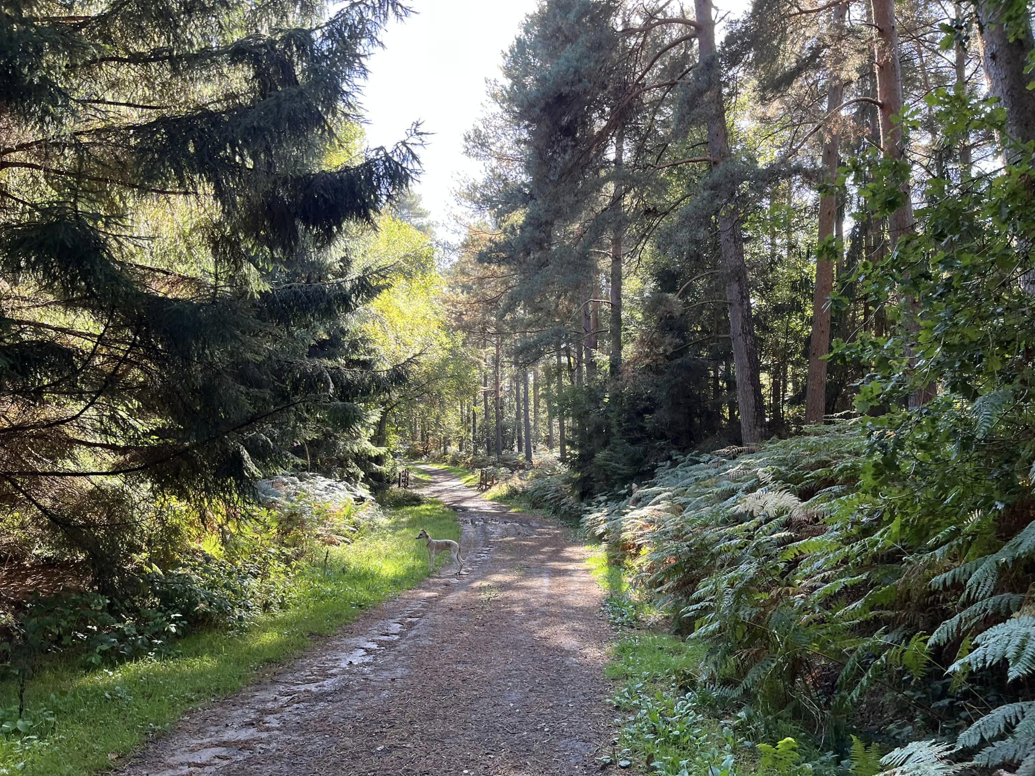
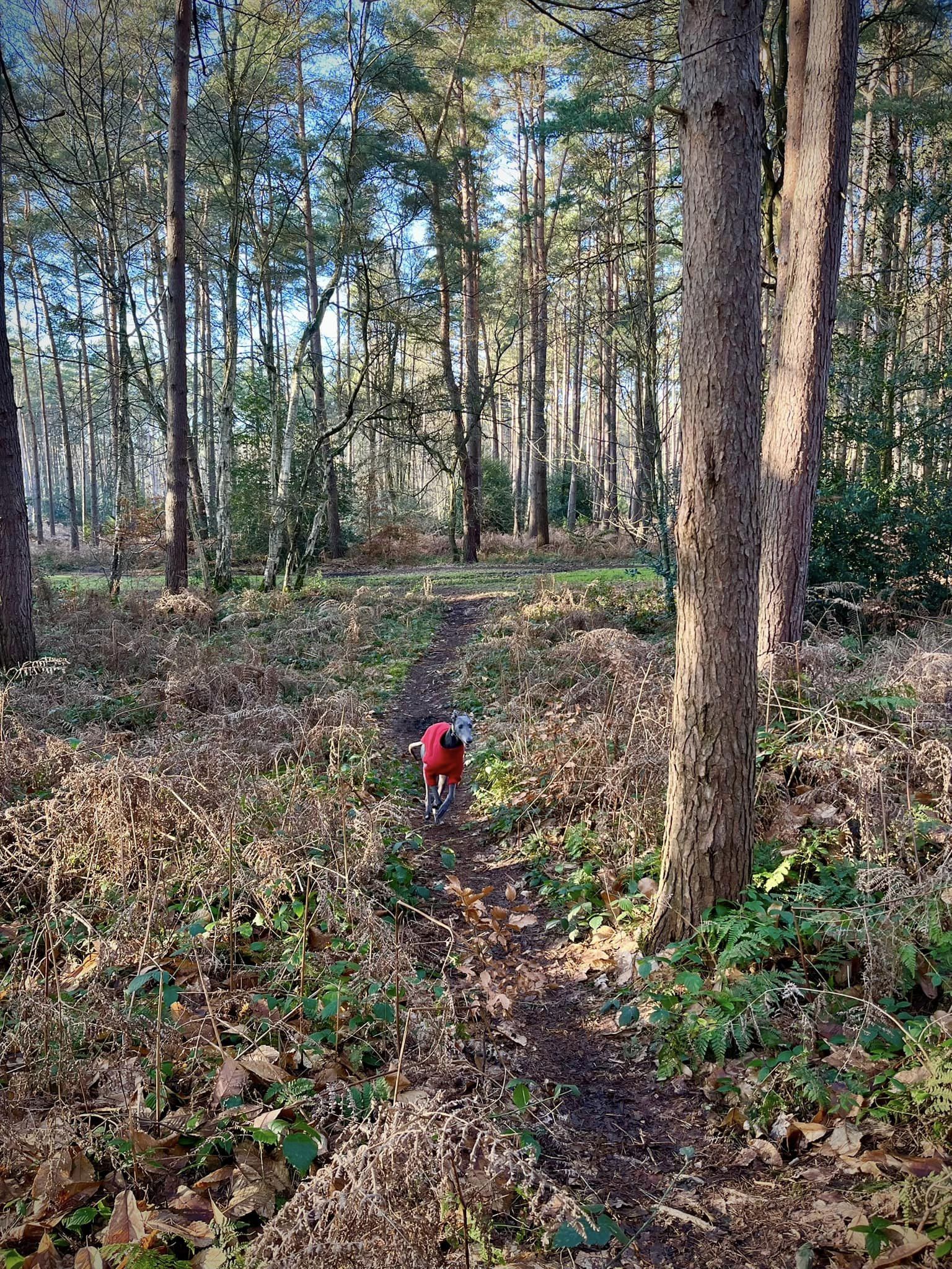
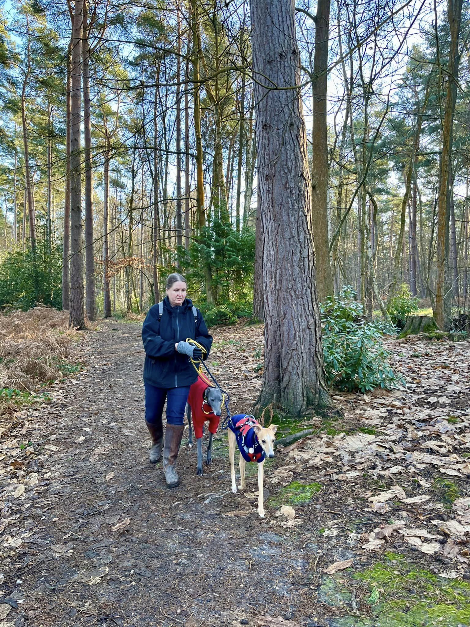
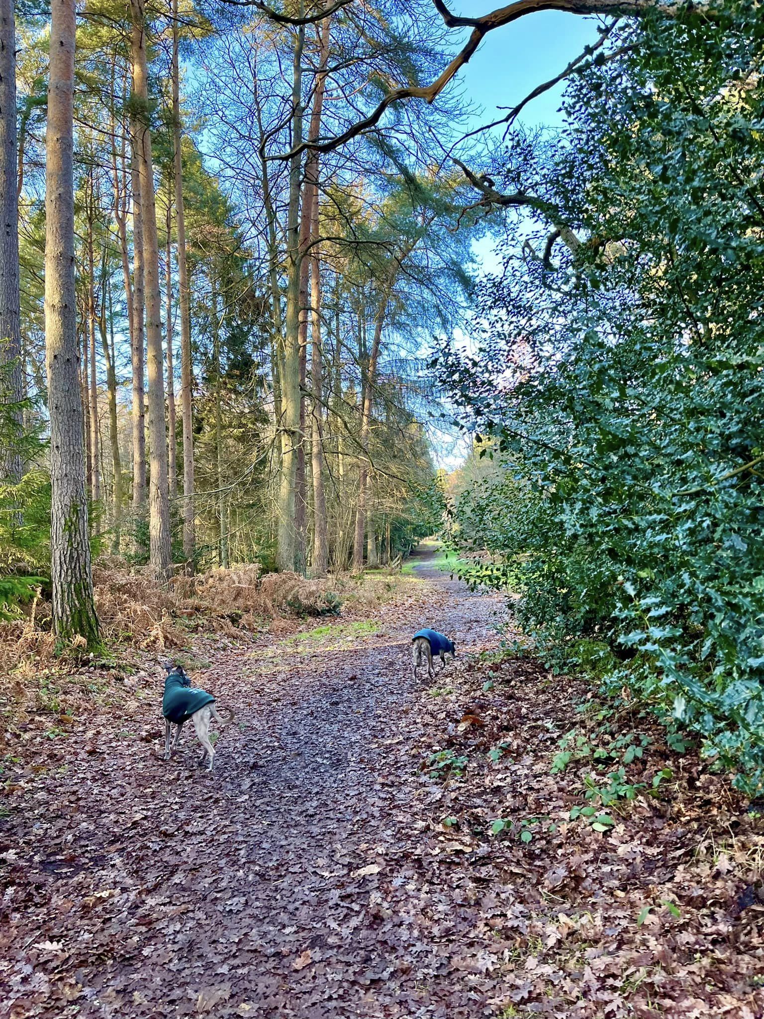
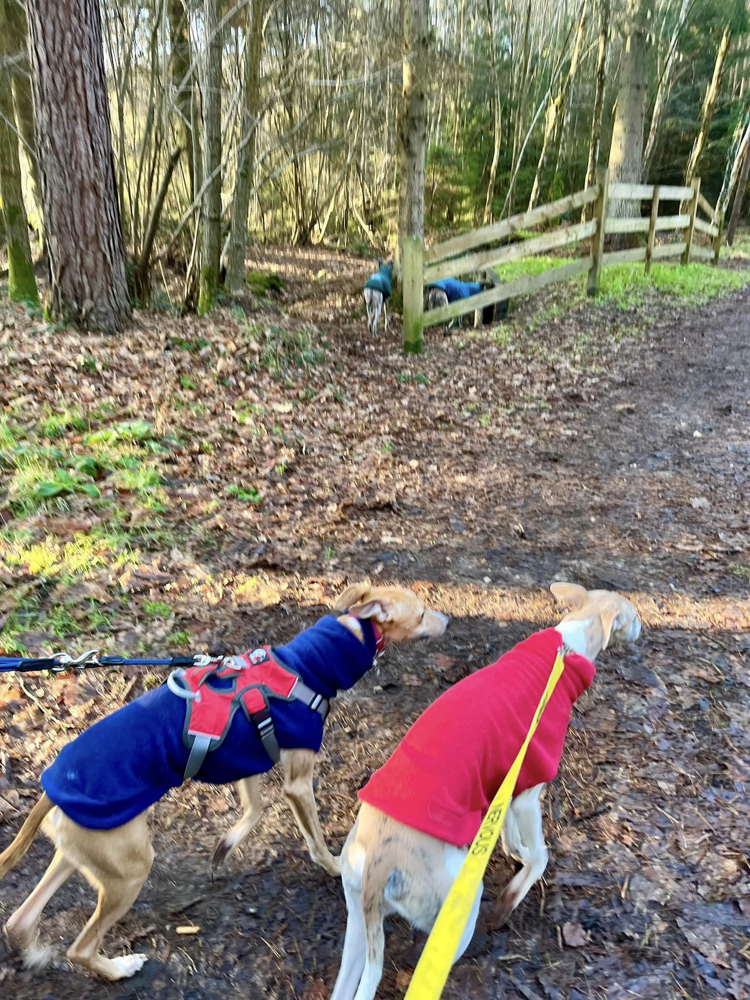
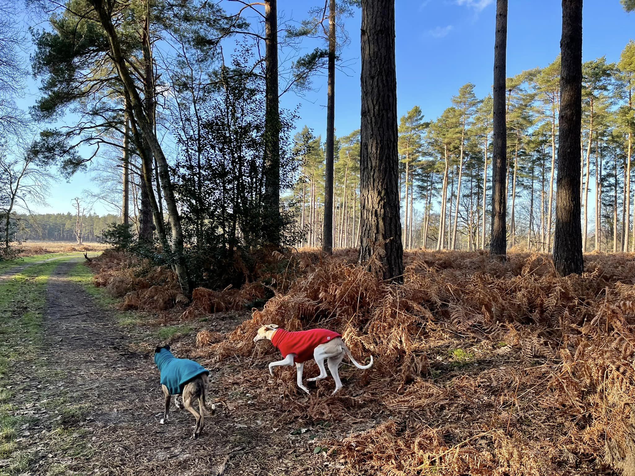
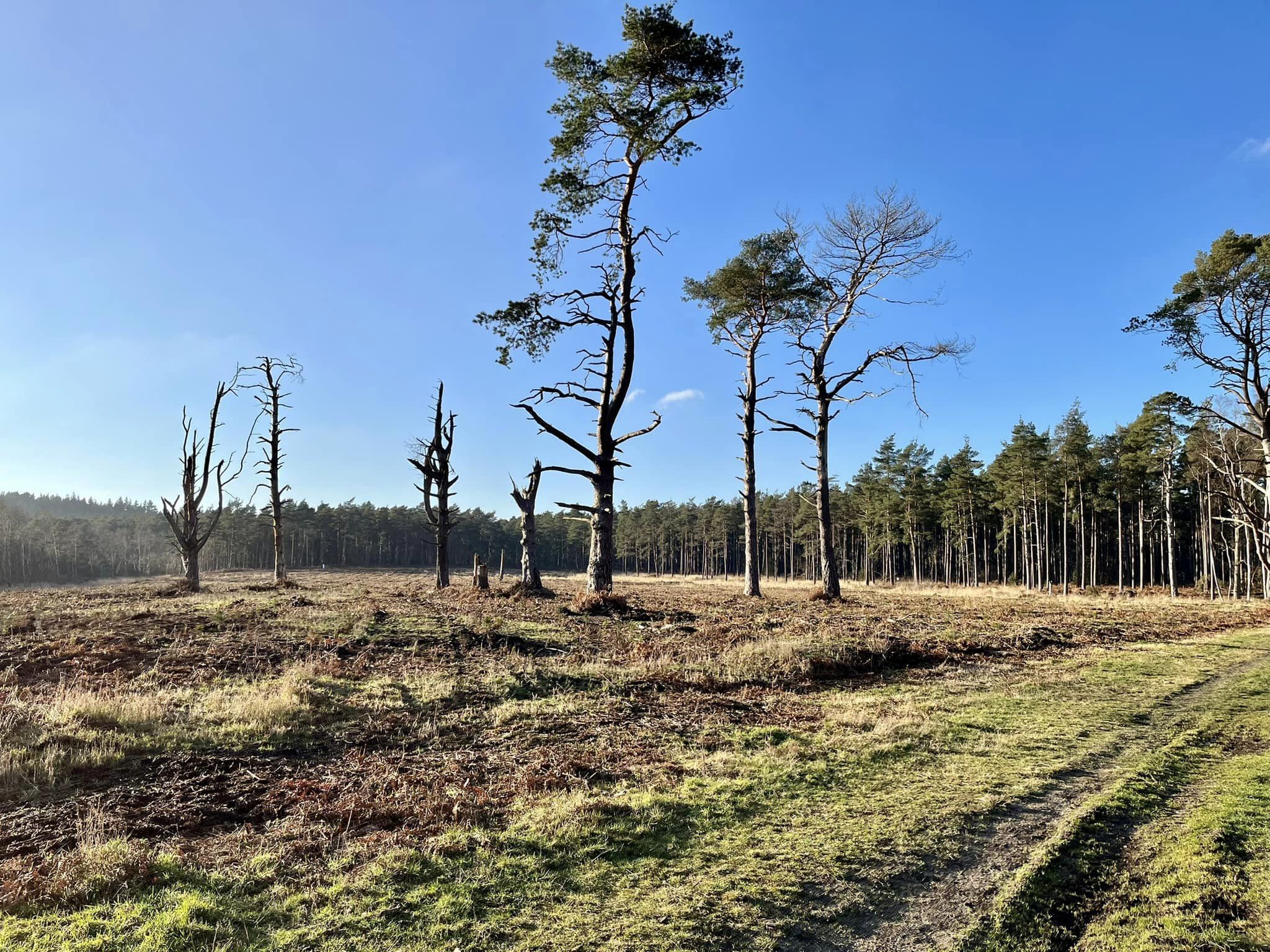
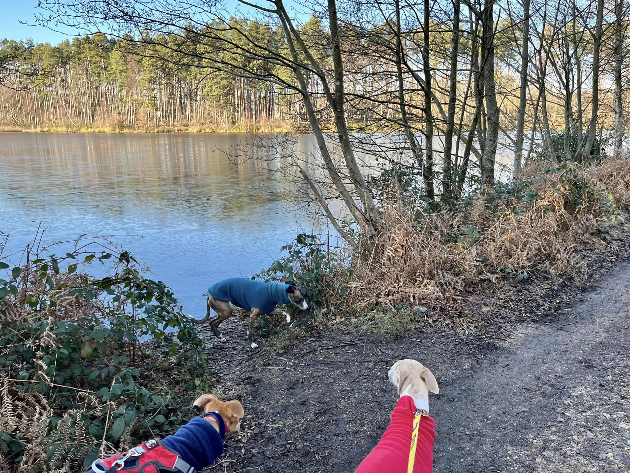
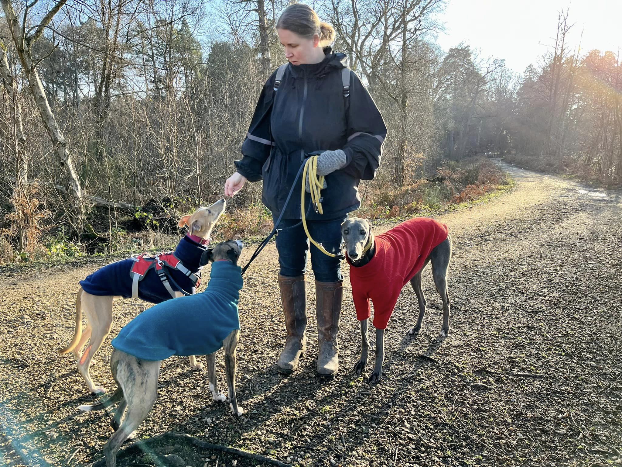
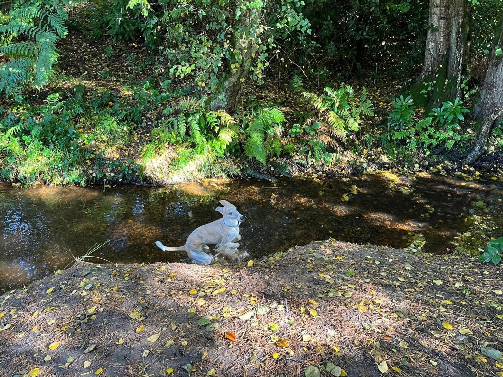
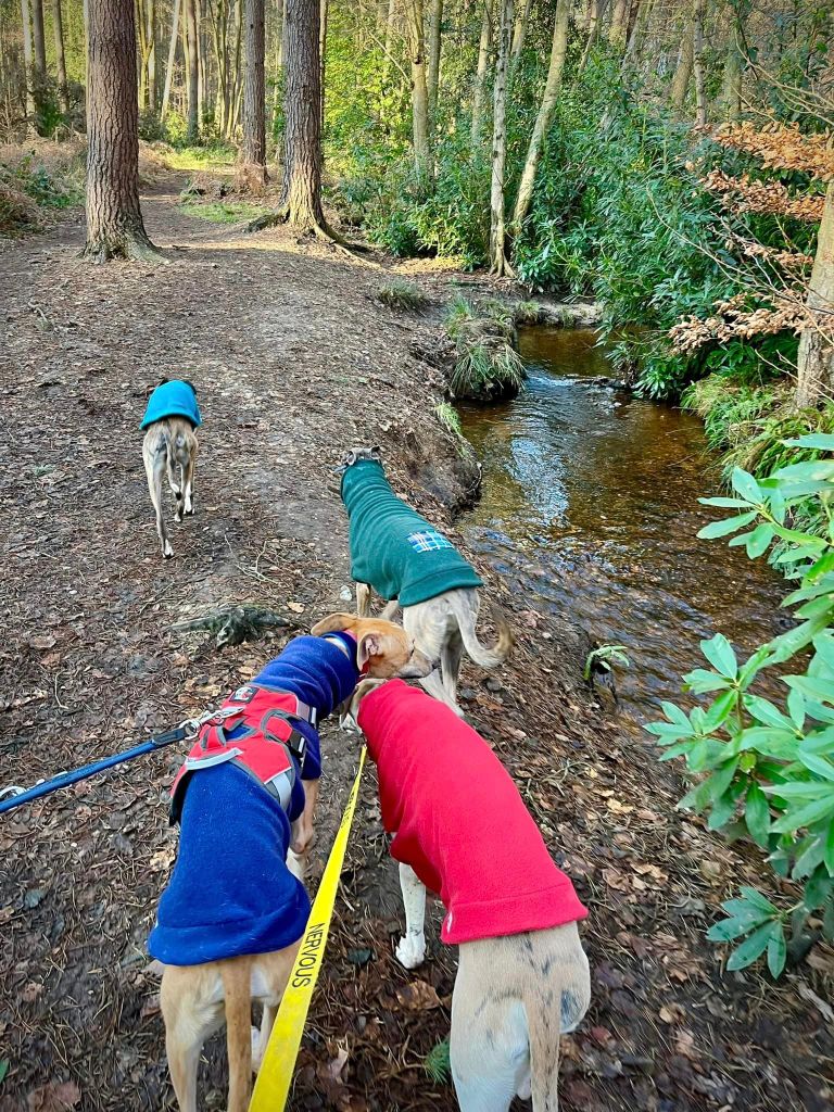
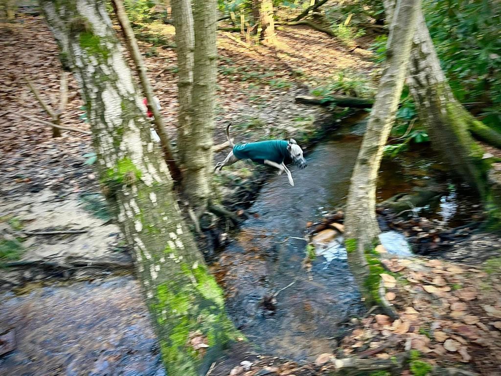
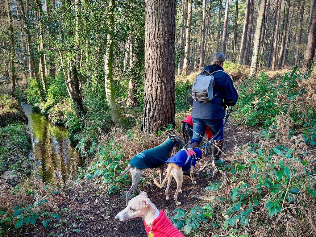
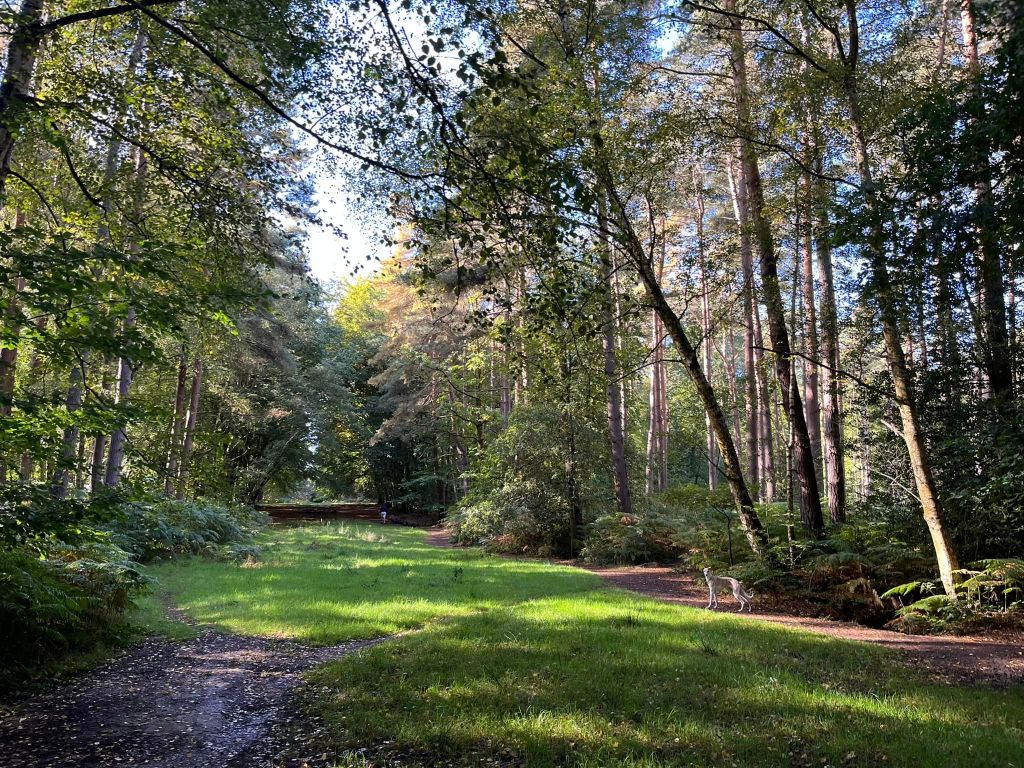
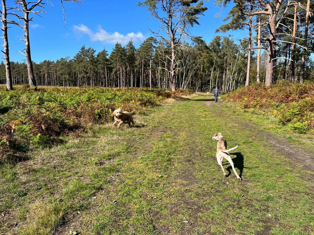
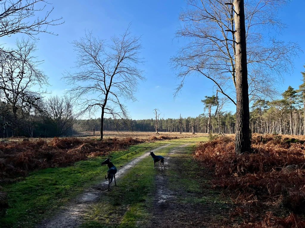
The Gallery: What’s it like here?


Parking
There is a car park for Swinley Forest but it isn’t cheap so instead, this walk sets off from Vicarage Road, a residential street adjacent to the forest. You can park on this road or one of the other streets nearby for free.
Poo bins?
Please take waste away with you.
Self-guided walk
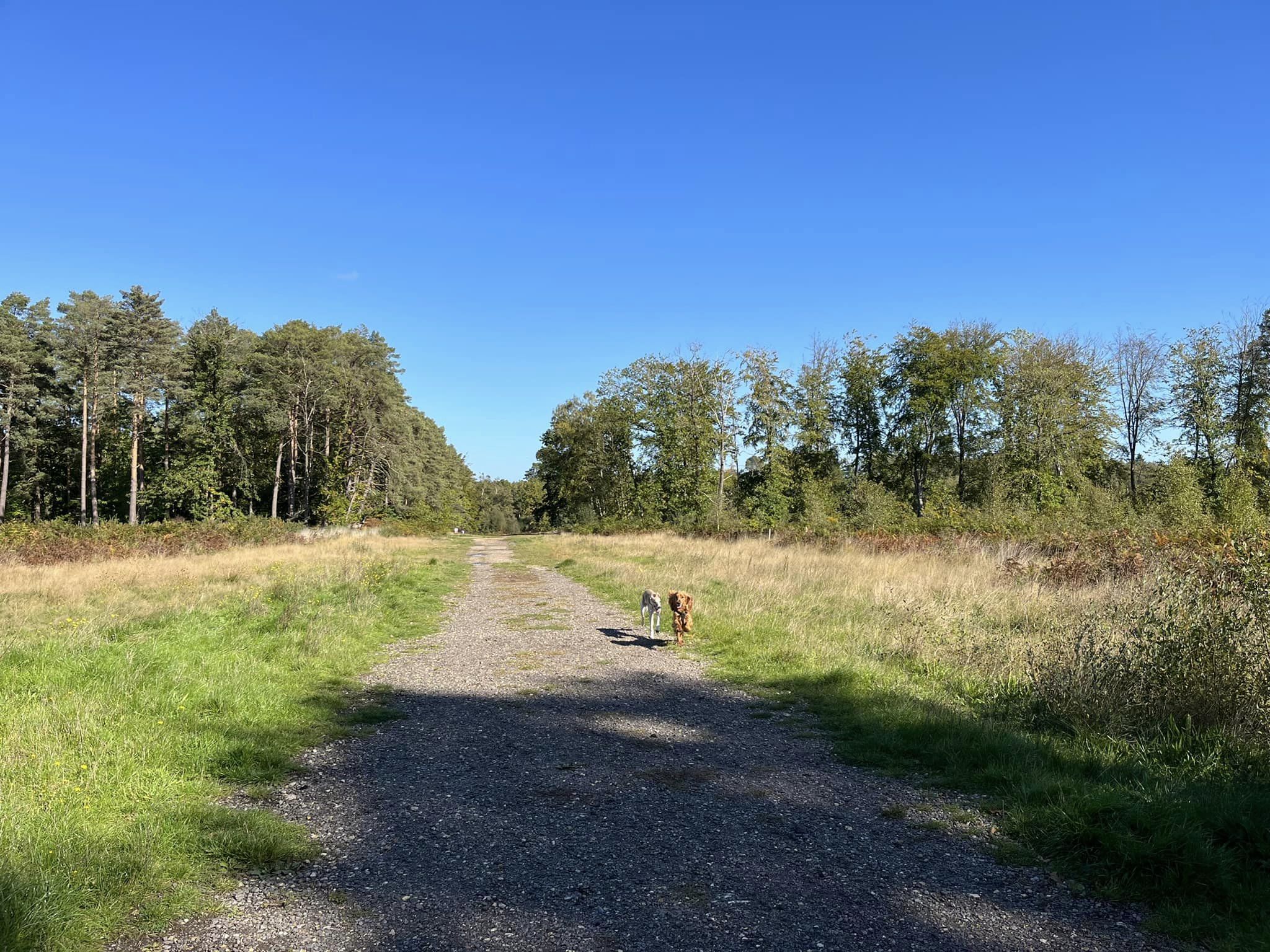
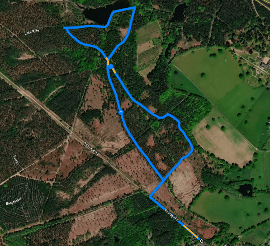
Here is a Footpath app route for Swinley Forest. Also on AllTrails. It starts in Vicarage Road behind the church, then takes you through woods alongside a little stream. The route crosses the boundary between Surrey and Berkshire and then takes you alongside Rapley Lake, before heading back on main paths. The route looks a bit like the outline of a whale – this is unintentional.
Length: approximately 2.7 miles/4.3 km
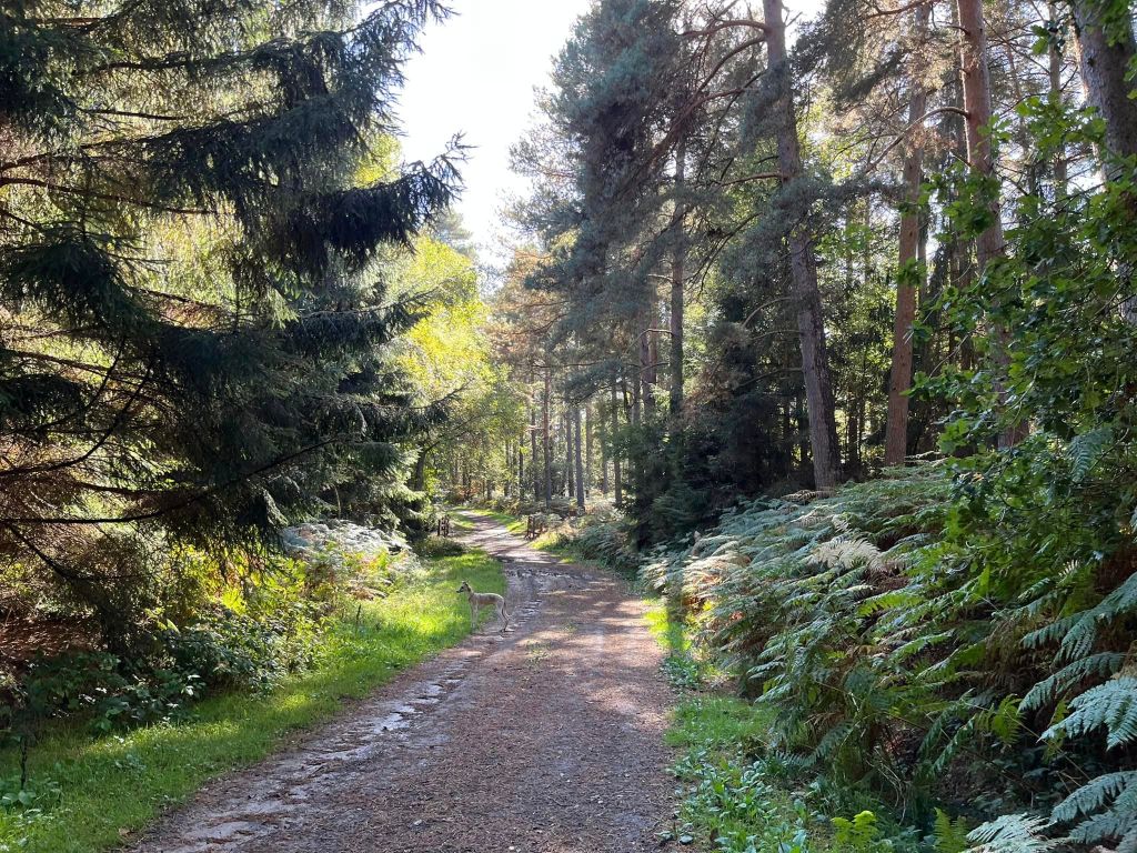
Terrain: Mix of wide, surfaced paths and smaller woodland paths, some of which can be very muddy.
Stiles/kissing gates? No stiles, no kissing gates
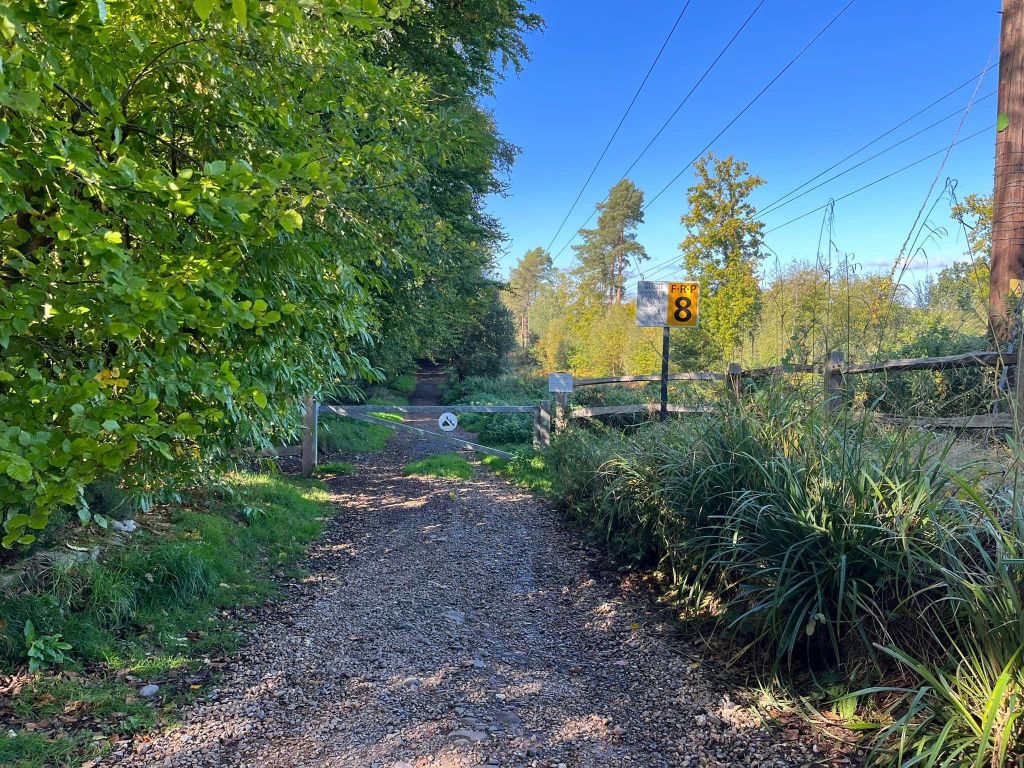
Walk to the far end of Vicarage Road where the tarmac stops and ground surface changes to gravel. Pass a sign post and Holly bush then continue straight ahead, ignoring a metal kissing gate on the right.
Continue straight, passing a couple of houses on your left, then going around a metal vehicle barrier next to a sign indicating that you’re entering Crown Estate land.
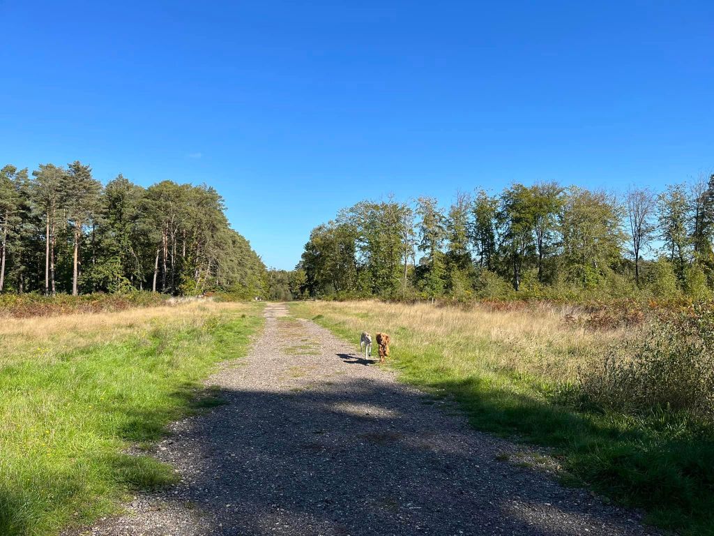
Walk down this long, straight main path, which briefly goes between two wooden fences as it crosses a stream. Take the next path on the right, which is next to an electricity pylon. It’s a wide path and quite an open grassy around it, with woods beyond that.
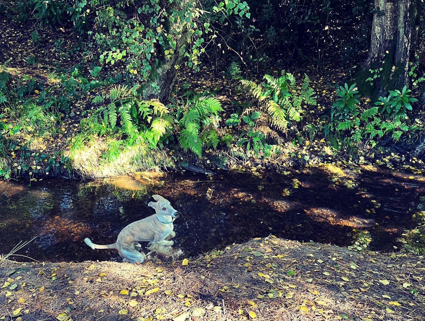
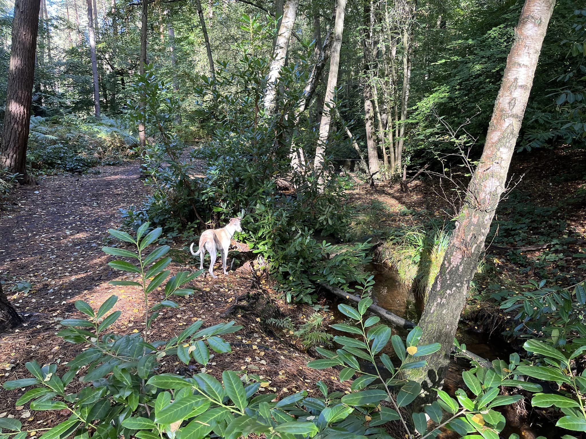
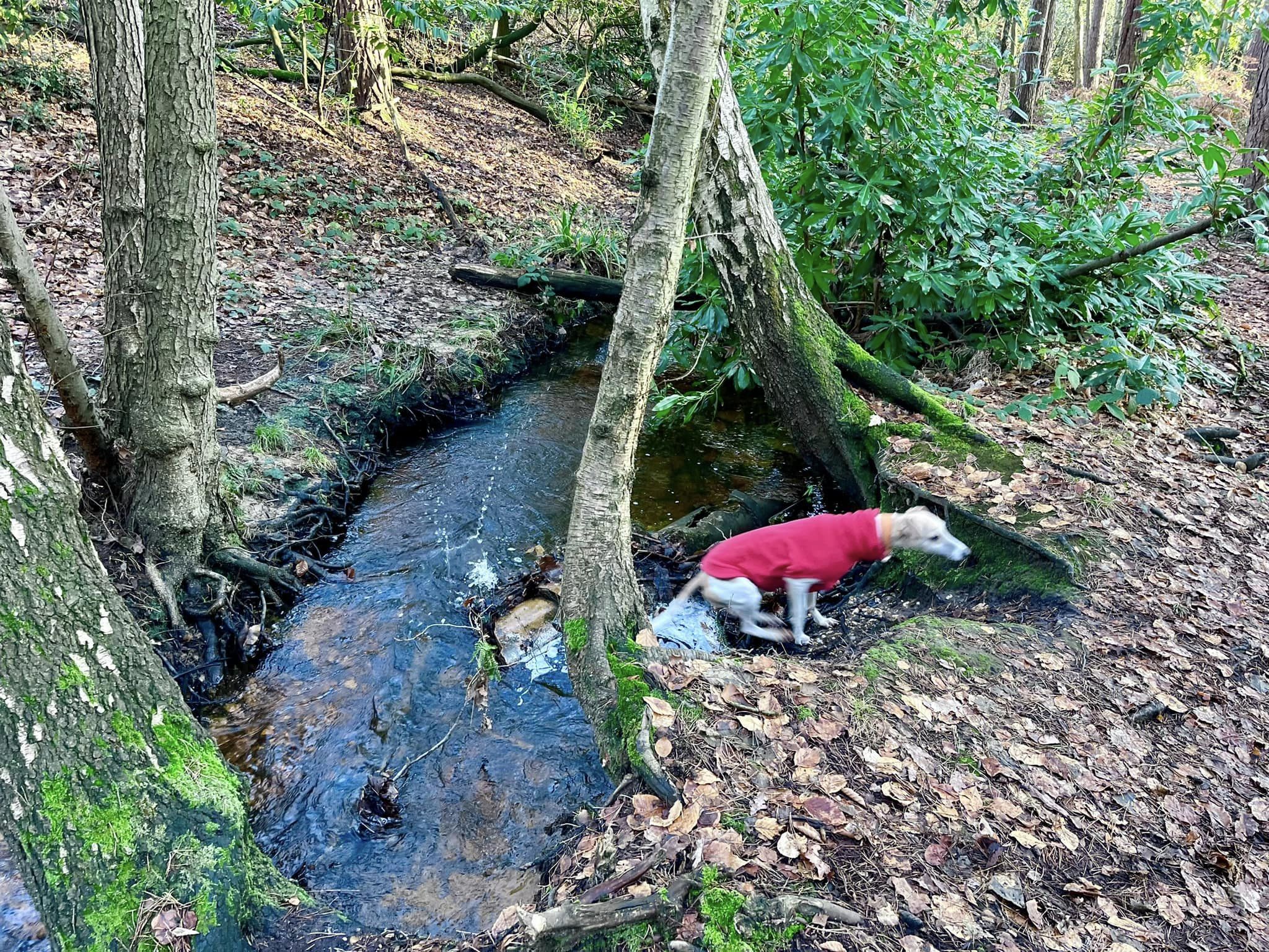
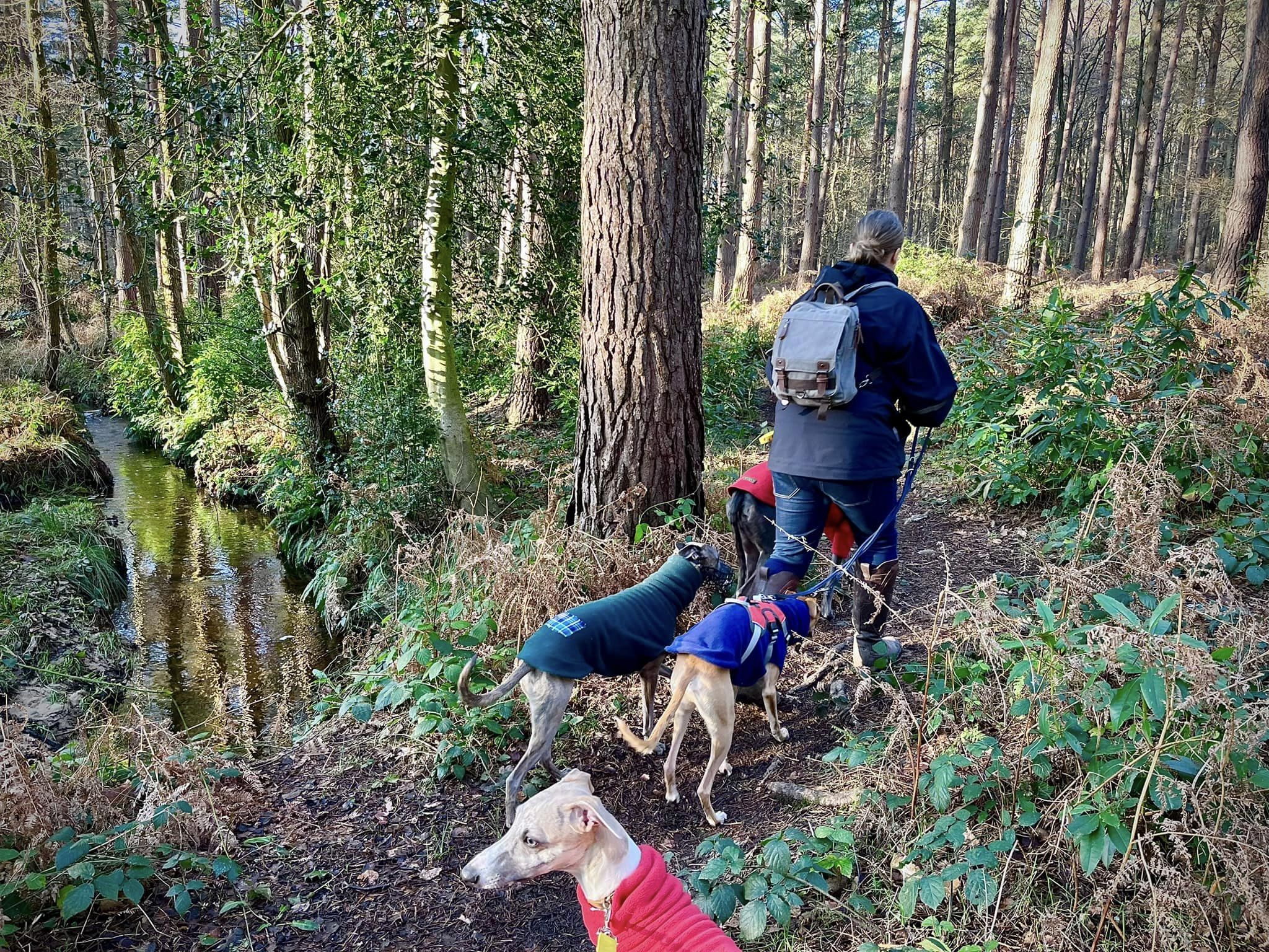
At the first cross paths, continue straight ahead, then ignore the next wide path off to the left. Instead, continue ahead and your path will curve round to the left. It narrows and goes through shrubs, then bends to the left and runs alongside a small stream. It’s quite fast flowing and the water is beautifully clear.
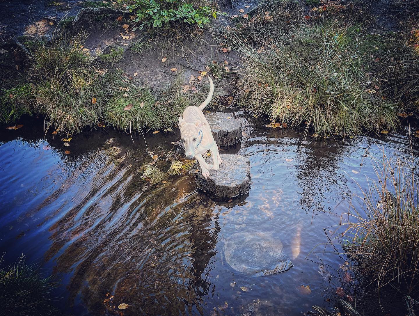
After a little way, this path goes round to the right and over the stream, and immediately there is a tiny path off to the left on this bend that continues to follow the course of the stream. Take this, often overgrown path, through the ferns and at the end, turn left onto a big path. This main track is often very wet and can be muddy.
After not very far at all, ignore a tiny little path to the right, and take the next one (it’s before the logs that are lying on the ground up ahead on the main path – so if you’ve reached those, you’ve gone a bit too far).
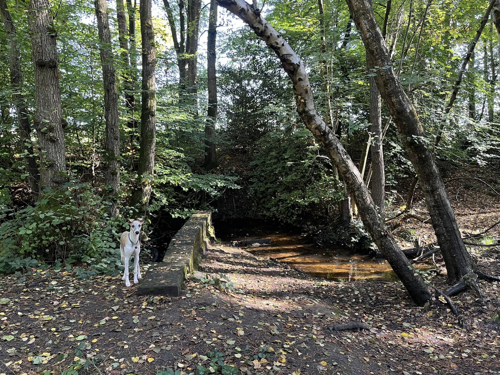
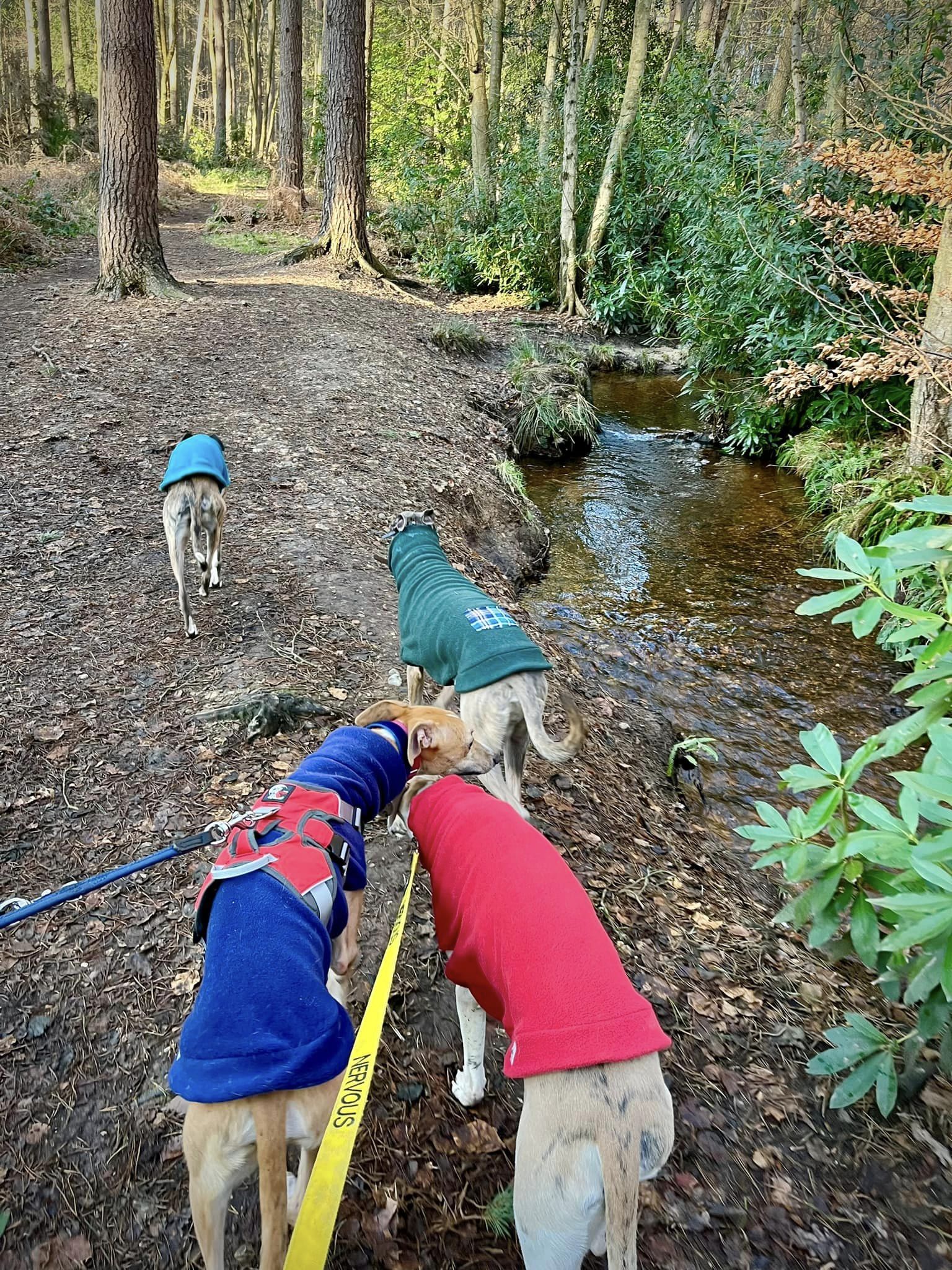
This little path goes over a small stream and then through the trees, widening out as it goes. Windle Brook will then be running along the left-hand side of the path. The path becomes very wide and crosses over the water at a point where there are wooden fences either side.
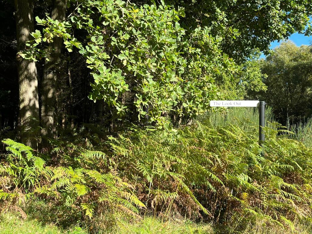
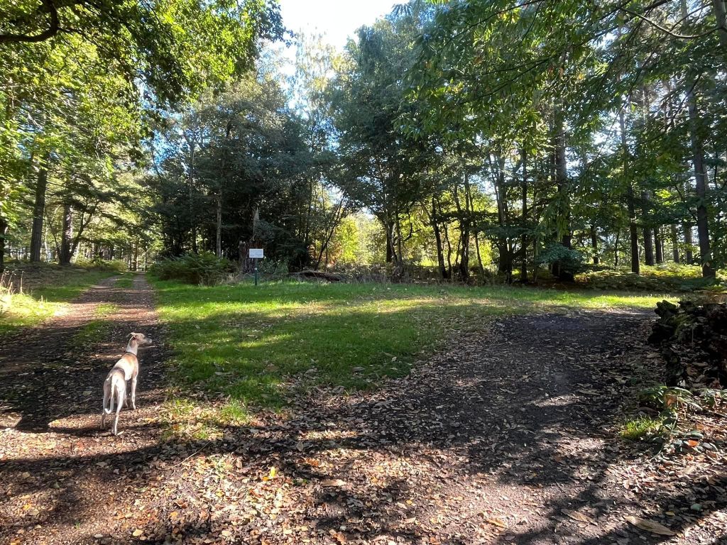
At the wide cross paths, which lie on the county boundary, continue straight ahead in the direction indicated by a signpost that is in the ferns on the right. This is marked “The Look Out.”
This path curves to the left through trees then round to the right through a more open area of ferns and bracken that is periodically ‘managed’/cut back. At the T junction at the end, turn right onto a stony/gravelly path known as Lake Ride.

This brings you down to Rapley Lake, passing between two red brick walls, then following water’s edge.
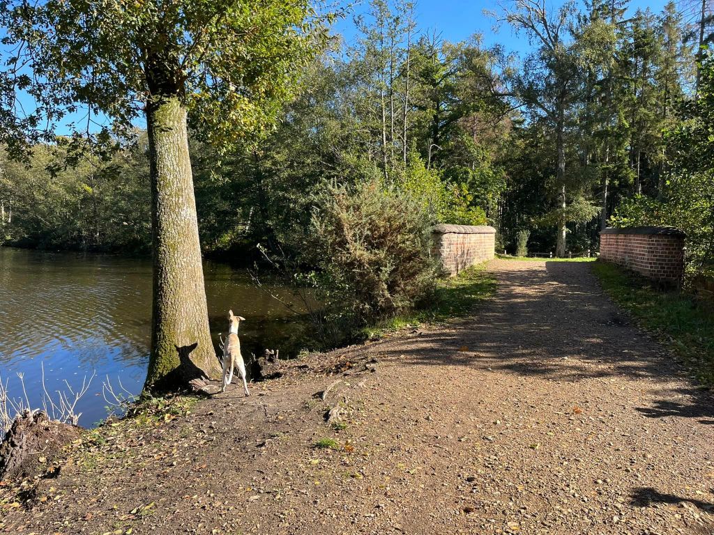
Just after the end of the lake, turn right (there is a sign ahead that says “no public access beyond this point”).
Cross a small stream where there are, again, wooden fences either side of the path and before you know it, you’re back at the wide county boundary cross paths with the sign post for the Look Out – this time, the signpost will be on your right, pointing to the right. Go straight ahead here.
Shortly after the cross paths, the path will go over another little stream, passing between yet more little wooden fences.
At the cross paths, where the path off to the left is very wide but the one to the right is quite narrow, continue straight ahead and over another little stream, where your path again passes between two more fences.
This main path then comes down to a wide cross paths, which you may recognise from earlier. Turn right here.
At the T junction at the end, turn left by the electricity pylon (that you may recall from the start) back onto the main track leading to the end of Vicarage Road and follow it straight down to where you started this walk.

Great walk and well guided, thank you Laura
LikeLiked by 1 person
So glad that you enjoyed it! Amy also likes this one. I should bring the group here for an evening walk sometime.
LikeLike